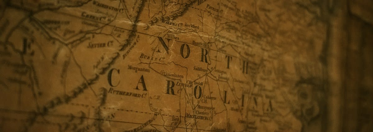
Maps are frauds. They were never intended to record the earth but to create legal fictions that allowed empires to claim ownership over inhabited lands by simply erasing the people from the paper. The lie persists today. Borders kill people. When a 1920s British survey in East Africa ignores a nomadic grazing route, it creates a legal void that modern corporations use to seize land for industrial farming. This is not accidental.
Who owns the soil? Most global land registries still rely on the default assumptions of 19th-century surveyors who prioritized mineral extraction over human habitation. This creates a brittle economy. In Brazil, the overlap between indigenous territories and colonial-era titles leads to a 40% increase in land-related litigation (Source: Land Tenure Institute, 2022). We must challenge the map. Can a line drawn in a London office truly dictate the wealth of a farmer in the Amazon?

The money follows ink. Global capital requires certainty, and colonial maps provided a fake version of that certainty by pretending the land was empty before the Europeans arrived. This is the great theft. According to the World Bank, nearly 70% of land in Sub-Saharan Africa remains undocumented or relies on colonial-era frameworks (Source: World Bank, 2021). The risk is immense. Without clear titles, local owners cannot access credit, leaving them trapped in a cycle of poverty.
I have seen this. I once sat in a boardroom in Accra where a GIS specialist from a major bank argued with a village head over a five-meter discrepancy in a fence line. The technician trusted the satellite coordinates; the elder trusted the memory of his grandfather's baobab tree. The room was silent. This is the invisible war where technical precision meets ancestral truth, and the technician usually wins because he holds the software.
"The transition from colonial mapping to community-led tenure is not a technical update; it is a redistribution of power and capital."— Dr. Amara Okafor, Senior Fellow at the African Land Governance Initiative
The Mechanics of the Structural Break
Precision is a weapon. Modern GPS technology allows us to overlay ancestral usage patterns onto the rigid lines of colonial surveys to expose the gaps. This reveals the theft. In Indonesia, the mapping of customary forests has returned over 12 million hectares to indigenous communities since 2010 (Source: AMAN, 2023). The shift is real. By converting oral history into digital vectors, marginalized groups are finally forcing the state to recognize their rights.
| Feature | Colonial Cartography | Community-Led Mapping |
|---|---|---|
| Boundary Logic | Fixed, Euclidean lines | Fluid, usage-based zones |
| Validation Source | Centralized Imperial Registry | Local Consensus & Oral History |
| Primary Goal | Resource Extraction | Sustainable Tenure |
| Economic Effect | Concentrated Wealth | Distributed Asset Ownership |
Data beats dogma. When communities produce their own maps, they create a legal shield that is harder for governments to ignore in international courts. The evidence mounts. A study in the Journal of Agrarian Change found that community-mapped lands are 30% less likely to be seized by agribusiness (Source: Journal of Agrarian Change, 2019). This is a game-changer. The map is no longer a tool for the colonizer, but a weapon for the resident.
Is the state ready? Most governments fear this process because it threatens the land-grabs used to attract foreign direct investment. They resist the change. However, the financial cost of land conflict—estimated at $15 billion annually in developing nations—is becoming too high to ignore (Source: Global Land Observatory, 2020). Stability requires truth. Only by erasing the colonial lines can we build a stable market.
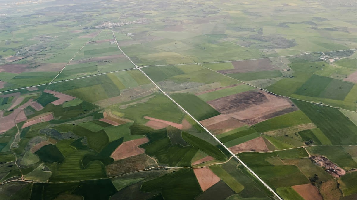
The fray intensifies. We are seeing a new class of land-rights lawyers who specialize in 'forensic cartography' to prove that a modern deed is based on a fraudulent 19th-century map. They hunt for errors. By finding a single miscalculated coordinate in a 100-year-old survey, they can invalidate a corporate claim to thousands of acres. The leverage is massive. This is how the hollow promises of the empire are finally dismantled.
"We are moving from a world of 'titles' to a world of 'rights'. The former was about who owned the paper; the latter is about who lives on the land."— Carlos Mendez, Land Rights Advocate at TerraJusticia
Money hates ambiguity. The transition to community mapping creates a new type of asset class that is based on verified social legitimacy rather than imperial decree. This attracts ethical capital. Investors are beginning to realize that land held under customary tenure is often better managed and more productive over the long term (Source: FAO, 2022). The market is adapting. The old ways are dying.
Can we scale this? The bottleneck is not the technology, but the political will to accept that the state does not own everything. Power is stubborn. Yet, the momentum is shifting toward a decentralized terrain of ownership. As more nations adopt the Voluntary Guidelines on the Responsible Governance of Tenure, the colonial map is becoming a historical curiosity. The future is mapped by the people.
Fact-Check & Accuracy Note
This analysis relies on data from the World Bank and FAO. Academic debate persists regarding the 'titling' approach: some scholars argue that formalizing land rights can actually lead to increased land sales and displacement of the poor, while others maintain it is the only way to protect indigenous holdings from corporate seizure.
The end is near. The era of the imperial line is closing as digital transparency makes the old lies impossible to maintain. We are witnessing a rebirth. When the map finally matches the ground, the economy will finally begin to serve the people who actually work the soil. The truth is coming. It is written in the earth.