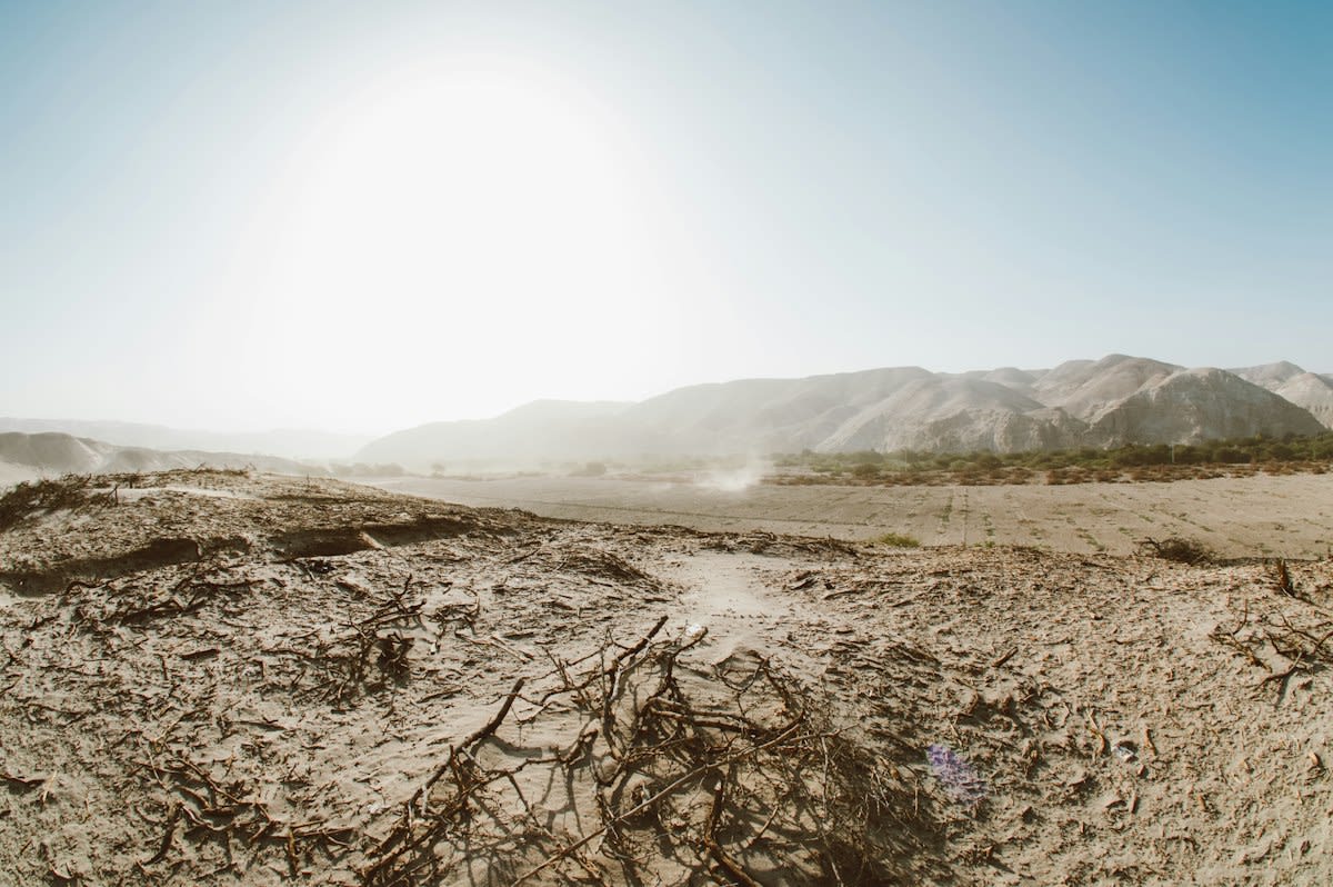
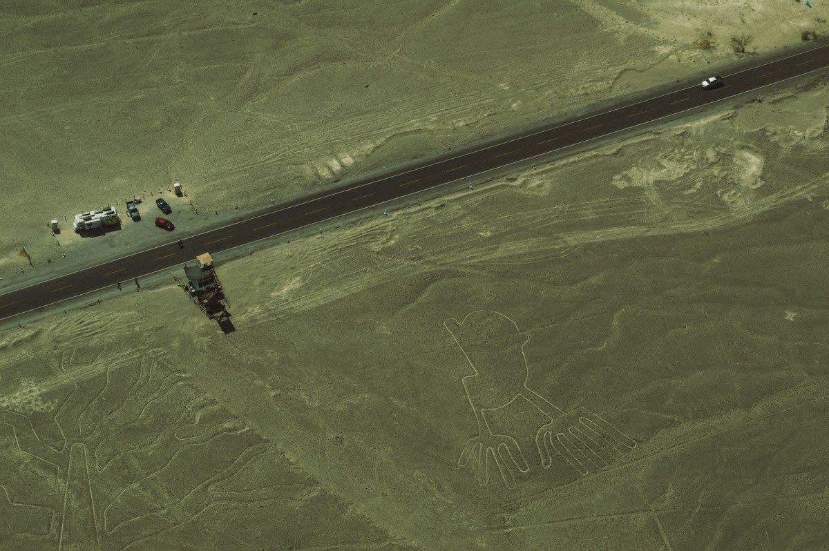
1,309 ghosts. 303 proved real. (Source: Futura-Sciences, 2026). This ratio defines the current state of automated archaeology. In the Peruvian desert, AI models are now identifying geoglyphs that evaded a century of human sight. This is not a gradual improvement but a violent acceleration of discovery. The machine flags the anomaly; the human walks the dirt. This cycle is replacing the slow, erratic pace of surface surveys.
The process in Nazca demonstrates a harsh reality of the modern hunt. The algorithm identified 1,309 candidate locations for figurative sites, yet only 303 survived human verification (Source: Futura-Sciences, 2026). This means nearly 77% of the AI's leads were mere soil erosion or natural geologic noise. Despite this high failure rate, the efficiency is undeniable. What took previous generations decades to map is now narrowed down to a few months of walking. The grit-toothed labor of the archaeologist has shifted from searching for the site to proving the AI wrong.
"The algorithm provides the lead; the shovel provides the proof."— Research Report, Futura-Sciences, 2026
This pattern extends beyond Peru into the brine-soaked coastlines and ash-streaked forests of the globe. In Central America, algorithms are currently processing LiDAR scans to peel back dense canopies, revealing lost settlements that ground-penetrating radar alone would miss (Source: Futura-Sciences, 2026). In the UAE, satellite data analysis is now redirecting excavation teams toward artifact concentrations that are completely invisible to the naked eye. The trend is clear: we are moving from serendipitous discovery to systematic extraction.
The shift in how we see the ground is quantified by the resolution of our sensors. Between 1995 and 2010, remote sensing was a blunt instrument. During that window, only 24% of studies utilized MODIS and 32% used Landsat (Source: MDPI, 2026). There was no record of Sentinel or PlanetScope in that era. The data was coarse, often missing the fine-grained architectural markers of ruins. We were looking at the earth through a frosted lens, guessing at the shapes beneath.
| Era | Dominant Sensors | High-Res Spatial Support (30m or finer) |
|---|---|---|
| 1995-2010 | MODIS, Landsat | Not explicitly reported / Low |
| Pre-2015 | Mixed Satellite | 54% |
| 2018-Present | Sentinel-2, PlanetScope, UAV LiDAR | 81% |
The delta in clarity is staggering. Spatial support for data at 30 meters or finer rose from 54% before 2015 to 81% from 2018 onward (Source: MDPI, 2026). This jump in resolution, paired with machine learning, allows researchers to spot the carbon-scored outlines of ancient hearths or the precise geometry of a foundation wall. The current corpus shows that Sentinel-2 combined with multi-temporal analysis is now the most frequent choice for reporting conservation and site status (Source: MDPI, 2026). We have traded the binoculars for a microscope.
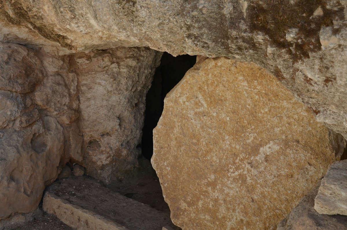
However, the rush to map the future often exposes the failures of the past. In Norway, the discovery of a 4,000-year-old gallery grave has highlighted a systemic loss of data (Source: Science Norway, 2026). Many of these graves were excavated over a century ago. At that time, the technology to collect and analyze the types of biological samples used today did not exist. These early archaeologists, acting with the tools of their time, effectively destroyed the chemical evidence required for modern genomic or isotopic analysis. The ruins were saved, but the history was scrubbed clean.
From a practitioner's perspective, this is where the friction lies. There is a growing tension between the data scientist in a temperature-controlled room and the field archaeologist in the mud. The scientist sees a high-probability pixel on a screen; the archaeologist sees a rust-pitted trowel and a week of rain in a remote valley. The debate is no longer about whether a site exists, but whether the AI's confidence interval justifies the cost of the fuel and the sweat. The friction is real: one side trusts the math, the other trusts the soil.
This tension is most evident when dealing with calcified remains. In the current university projects examining skeletal remains from old Norwegian graves, the goal is to find definitive answers that were missed 100 years ago (Source: Science Norway, 2026). This effort is a race against time. Every year a site remains unmapped or poorly archived, the environmental decay eats away at the remaining evidence. The move toward AI-led mapping is not just about discovery; it is a salvage operation for the world's remaining organic data.
The Failure Points of Automated Mapping
- False Positive Fatigue: In Nazca, 77% of AI leads were natural erosion, creating massive labor waste for ground teams (Source: Futura-Sciences, 2026).
- Legacy Data Destruction: Early excavations in Norway destroyed sample integrity before modern analysis existed (Source: Science Norway, 2026).
- Sensor Dependency: A reliance on Sentinel-2 and PlanetScope means gaps in data where these satellites lack coverage or resolution (Source: MDPI, 2026).
- Verification Bottlenecks: The ability to find sites now exceeds the human capacity to visit and verify them.
The risk of the AI era is the creation of a digital ghost map—a database of thousands of 'probable' ruins that may never be visited. If the human verification step is skipped to save costs, archaeology risks becoming a branch of computer science rather than a study of material culture. The shovel remains the only absolute authority. Without the physical touch of the earth, the AI is simply guessing based on patterns in the dust.
Editorial Note
The acceleration of site discovery via AI creates a paradox: we can find more ruins than we have the funding or personnel to excavate, potentially leaving sites vulnerable to looting once their coordinates are digitized.
Fact-Check & Accuracy Note
All statistics regarding sensor resolution (54% to 81%) are attributed to the 2026 MDPI study on remote sensing indicators. Nazca verification numbers (1,309 vs 303) are sourced from Futura-Sciences (2026). Norway grave data is sourced from Science Norway (2026).