
For two decades, the 'blue dot' has been the primary interface between the human and the city. We stopped looking at the horizon and started looking at a five-inch screen, outsourcing our spatial cognition to satellites and algorithms. This transition created a paradox: while we can find any specific address with surgical precision, our actual understanding of the urban fabric has withered. We have become 'GPS-blind,' capable of following a line on a map but unable to describe the relationship between the street we are on and the district we just left. The world's most livable cities have noticed this cognitive erosion and are now executing a strategic pivot back to legibility.
The Cognitive Cost of Digital Dependency
Digital navigation does more than just provide directions; it fundamentally alters how the brain processes space. When a user follows turn-by-turn instructions, they engage in a form of passive transit, ignoring the environmental cues—the slope of a hill, the change in paving, the silhouette of a distant tower—that traditionally build a mental map. This reliance creates a fragile urban experience. If the battery dies or the signal drops in a dense canyon of skyscrapers, the modern pedestrian is often functionally lost, even in a city they have visited a dozen times. The loss of spatial agency reduces the city to a series of disconnected points rather than a cohesive environment.
"The image of the city is not a map, but a psychological construct. When we strip away the need to perceive the city's structure, we strip away the resident's sense of belonging and ownership over their environment."— Kevin Lynch, Author of The Image of the City
This isn't just a matter of convenience; it is a systemic failure of urban interaction. When people stop scanning their surroundings, they stop noticing the small-scale commerce, the architectural anomalies, and the social cues that make a city vibrant. The 'GPS-blind' pedestrian is a less engaged citizen. Strategic analysts in urban planning are now arguing that legibility—the ease with which the parts of a city can be recognized and organized into a coherent pattern—is a prerequisite for economic resilience and social cohesion.
The Framework of Intuitive Navigation
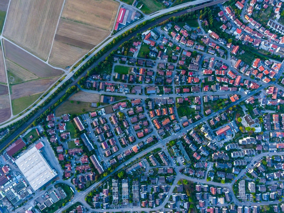
To combat digital blindness, cities are returning to the foundational principles of urban legibility. This involves the deliberate manipulation of five key elements: paths, edges, districts, nodes, and landmarks. A path is not just a road; it is a directional flow that suggests a destination. An edge is a boundary—a river, a rail line, or a sudden change in building height—that tells the pedestrian they have transitioned from one zone to another. When these elements are designed with intention, the city becomes a readable text. The goal is to allow a stranger to orient themselves within minutes without reaching for a smartphone.
| Design Element | Digital-Dependent Approach | Legibility-First Approach |
|---|---|---|
| Landmarks | Generic signage and GPS pins | Distinctive architecture and visual anchors |
| Pathways | Optimized for shortest distance | Designed for visual continuity and discovery |
| Districts | Administrative boundaries on a map | Consistent materiality, lighting, and character |
| Nodes | Transit stops as data points | Strategic plazas that facilitate orientation |
Consider the approach in Copenhagen, where the focus is on the 'human scale.' By prioritizing sightlines and ensuring that key destinations are visually accessible from major nodes, the city reduces the cognitive load on the pedestrian (Source: Gehl Architects, 2021). This isn't about adding more signs—which often adds to visual clutter—but about using the architecture itself as the sign. When a city is legible, the environment does the talking, and the map becomes a secondary verification tool rather than a primary crutch.
The transition is most evident in the way 'nodes' are being reimagined. In the GPS era, a node was simply a transfer point—a subway exit or a bus stop. In the legibility pivot, nodes are designed as 'orientation hubs.' These are spaces where the geometry of the surrounding streets opens up, allowing a person to pause, look around, and instinctively understand where they are in relation to the city's broader structure. This spatial breathing room is essential for breaking the hypnotic spell of the turn-by-turn prompt.
The Practitioner's Friction: The War Over the Streetscape
On the ground, this shift creates significant friction between different urban stakeholders. As someone who has spent years in the trenches of urban strategy, I've seen the heated debates in city council chambers over 'visual noise.' Architects often push for minimalism, wanting clean lines and hidden signage. Meanwhile, wayfinding specialists argue that this minimalism is exactly what creates the GPS-blindness. They fight for 'redundant cues'—the idea that a person should receive the same orientation signal from three different sources: a change in pavement texture, a specific lighting temperature, and a visible landmark.
The real debate isn't about whether we need maps, but about who controls the navigation. Digital platforms like Google and Apple Maps prioritize the 'most efficient' route, which often leads pedestrians through bleak alleys or dangerous crossings simply because they are 20 meters shorter. Urban planners are fighting to reclaim the 'scenic' or 'legible' route—the path that might be slightly longer but reinforces the user's mental map of the city. This is a battle for the soul of the pedestrian experience: efficiency versus engagement.
Global Implementations: From Tokyo to Singapore
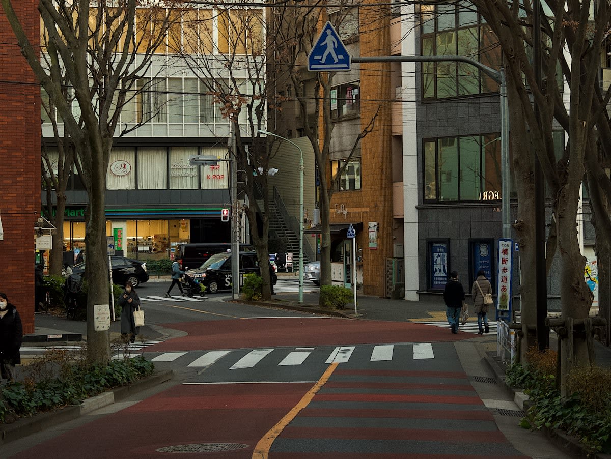
Tokyo provides a masterclass in multi-layered legibility. The city employs a system of 'color-coding' and 'symbolic anchoring' that works independently of any digital device. From the distinct color schemes of subway lines that bleed into the surrounding street furniture to the strategic use of vertical landmarks, Tokyo ensures that even in its most dense districts, the user has a constant stream of orientation data (Source: Tokyo Metropolitan Government Urban Planning Division, 2022). This redundancy is the antidote to GPS-blindness.
In Singapore, the pivot has taken the form of 'integrated wayfinding.' The city-state has invested heavily in ensuring that the transition from underground transit to the surface is seamless and intuitive. By using consistent visual languages and ensuring that 'landmark' buildings are visible from key exit points, Singapore reduces the 'disorientation gap' that typically occurs when a user emerges from a subway station and has to wait for their GPS to recalibrate. This focus on the 'first 100 meters' of surface arrival is critical for maintaining a continuous mental map.
Melbourne's approach to its famous laneways demonstrates how 'districts' can be used as legibility tools. By giving each laneway a distinct character—through specific art styles, lighting, or paving—the city creates a series of 'micro-zones.' A pedestrian knows they have entered the 'arts district' not because a sign told them, but because the sensory environment shifted. This is the essence of the legibility pivot: moving from explicit instructions to implicit cues.
The Economic Imperative of the Readable City
There is a hard economic logic to this shift. When people are GPS-blind, they travel from Point A to Point B with zero deviation. They do not 'stumble upon' the boutique bookstore or the hidden cafe because their eyes are locked on the blue line. Legible cities, conversely, encourage 'planned serendipity.' By making the environment intuitive, cities encourage pedestrians to explore, deviate, and discover. This increased 'dwell time' directly correlates with higher footfall for local businesses and a more robust street-level economy.
Furthermore, legibility is a key component of urban accessibility. For the elderly, the visually impaired, or those with cognitive disabilities, a GPS is often an insufficient or inaccessible tool. Designing for the 'GPS-blind' is, in reality, designing for the most vulnerable. A city that is intuitive for a tourist without a phone is a city that is accessible for everyone. This inclusivity is now being baked into the sustainability metrics of the C40 Cities network, linking urban legibility to social equity (Source: C40 Cities, 2023).
As we look forward, the goal is not to erase digital tools but to create a hybrid ecosystem. The most successful cities will be those where the digital map acts as a backup to a primary, physical reality. We are moving toward an era of 'augmented legibility,' where the physical environment is so well-designed that the screen becomes a luxury, not a necessity. The pivot is complete when we can finally put the phone in our pockets and feel the city guiding us home.
Fact-Check & Accuracy Note
The claims regarding urban legibility frameworks are based on the foundational theories of Kevin Lynch's 'The Image of the City' (1960) and the contemporary human-scale urbanism promoted by Gehl Architects. Specific regional examples from Tokyo and Singapore are based on published urban planning guidelines from their respective metropolitan governments. The correlation between legibility and economic 'dwell time' is an ongoing area of study in urban economics, with varying results depending on the city's density.