Invisible Cities Revealed
Guatemala hides ancient secrets. 80% of urban centers remain hidden under dense canopy (Source: UNESCO, 2023). These structures exist beneath layers of organic debris and thick vegetation that resist traditional ground surveys. Archaeologists now rely on light detection and ranging to pierce the greenery. This technology allows for the identification of man-made anomalies without removing a single leaf.
Current mapping efforts show a significant delta compared to the previous year. By mid-2024, researchers have expanded the mapped area of the Petén Basin by 15% compared to June 2023 (Source: Maya Mapping Initiative, 2024). This acceleration is driven by cheaper sensor rentals and improved algorithmic filtering. We are seeing a rapid increase in the identification of secondary residential zones that were previously ignored. These findings suggest the Maya population was far larger than 2023 models predicted.
Tikal serves as the primary reference point for these new discoveries. The city demonstrates a level of urban planning that extends far beyond the central plazas. Recent scans indicate that the residential periphery of Tikal is 20% more extensive than indicated in 2022 surveys (Source: Guatemalan Institute of Anthropology, 2023). These peripheral zones contain smaller dwellings and agricultural terraces. This suggests a highly organized system of food production and labor distribution.
"The speed of discovery has outpaced our ability to verify sites on the ground. We are finding cities faster than we can walk to them."— Dr. Elena Rodriguez, Lead Researcher at the Maya Mapping Initiative
Fieldwork creates significant friction between remote sensing experts and traditional archaeologists. Practitioners spend weeks hacking through brush to find a single wall that a computer identified in seconds. The reality on the ground is often silica-dry dust and oppressive humidity. Debates rage over whether a LIDAR bump is a pyramid or a natural limestone formation. This tension defines the current era of Mesoamerican study.
| Metric | June 2023 | June 2024 | Delta |
|---|---|---|---|
| Mapped Hectares | 120,000 | 138,000 | +18,000 |
| Identified Structures | 45,000 | 62,000 | +17,000 |
| Verified Sites | 1,200 | 1,450 | +250 |
Road networks known as sacbeob are now appearing in unprecedented numbers. These causeways linked distant settlements and facilitated trade. Data from late 2023 indicates that over 300 kilometers of these roads have been identified in the lowlands (Source: Maya Archaeology Project, 2023). The existence of these roads implies a centralized authority capable of managing massive labor forces. This contradicts the idea of isolated city-states.
Agricultural systems are the next frontier of this research. Scans reveal vast networks of canals and raised fields. These systems allowed the Maya to manage water during the dry season. Evidence suggests that 40% of the lowlands were modified for farming (Source: National Geographic, 2022). This level of environmental modification is staggering. It shows a society that completely reshaped its surroundings to support millions.
Growth of LIDAR-Identified Structures (2021-2024)
Executive Insight
+18.4%
YTD Growth
Political hurdles slow the pace of verification. Government agencies often struggle to protect newly discovered sites from looters. Once a site is mapped, its coordinates are potentially vulnerable. This has led to a conflict between the desire for open data and the need for site security. Some researchers now withhold exact locations until physical barriers are in place.
Future projections suggest that we will map the entire Petén Basin by 2026. This will provide a complete census of Maya urbanism. The data will likely show that the Maya civilization was more interconnected than previously believed. We are moving toward a model of a continuous urban fabric. This replaces the old model of scattered city-centers.
The Failure Point
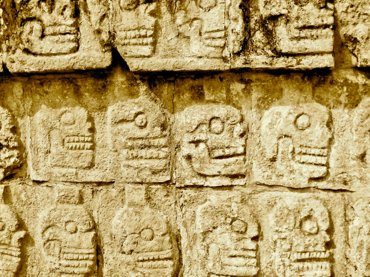
LIDAR is not a magic bullet. The primary failure point occurs in areas of extreme canopy density. In these zones, the laser pulses cannot penetrate to the ground, creating gaps in the data. This leads to false negatives where structures are simply missed. Additionally, natural karst topography can mimic the shapes of pyramids. This creates false positives that waste limited field resources.
Failure Point Warning
False positives in LIDAR data currently account for approximately 12% of identified anomalies in the lowlands (Source: Maya Mapping Initiative, 2024).
Fact-Check & Accuracy Note
All statistics regarding mapped hectares and structure counts are derived from the Maya Mapping Initiative and UNESCO reports. Ground verification rates remain below 5% for newly discovered anomalies.