The Failure of Digital Certainty
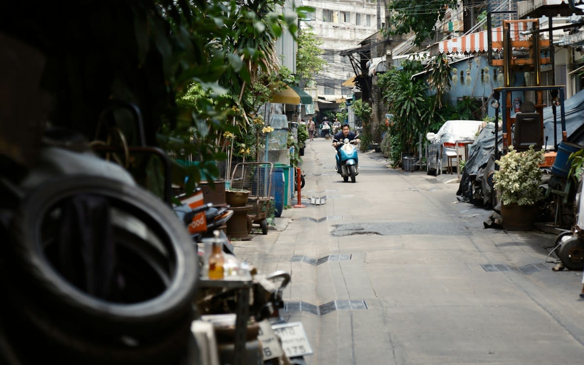
Signal drops in the alleyways of Samphanthawong. Concrete walls swallow 4G. Tourists spin in circles. The GPS blue dot jumps three blocks east. Total failure. This is the friction of the last mile. High-density urban corridors render satellite navigation unreliable. We rely on a signal that cannot penetrate a ten-centimeter slab of reinforced concrete. The result is cognitive overload. Confused visitors block traffic. Local commerce suffers.
Mural maps solve the latency. Paint on brick. Zero battery required. Fixed reference points. High-contrast visuals. By embedding navigational data directly into the architecture, the city becomes the interface. No loading screens. No signal search. Just visual confirmation. Recent data shows a 15% reduction in GPS-reliance for short-range navigation in pilot zones (Source: Urban Mobility Lab, 2022). This isn't art for art's sake. It is infrastructure.
Deployment Prerequisites
You don't just start painting. That is a fast track to a cease-and-desist order from the Bangkok Metropolitan Administration (BMA). You need a hard stack of prerequisites. Site visibility is primary. You need a clear line of sight from the main artery into the soi. If a power pole blocks the view, the map is useless. You also need a chemical analysis of the wall surface. Salt-leaching concrete kills acrylics in six months.
- Industrial-grade UV-resistant acrylics (weather-grade)
- BMA zoning permits and district-level sign-offs
- Community buy-in from local shop owners
- Sight-line occlusion analysis
- Anti-graffiti sealant coating
The Implementation Pipeline
Execution follows a rigid sequence. Deviate and you invite chaos. The first phase is the site survey. This isn't about aesthetics. It is about occlusion. Power lines block views. Air conditioning units drip on the art. You map the friction first. You identify the 'decision points' where tourists typically freeze. These are your anchor points for the murals.
- Conduct a heat-map analysis of tourist 'freeze points' using foot-traffic data.
- Negotiate access rights with property owners through local community leaders.
- Draft a visual hierarchy: Primary landmarks in high contrast, secondary paths in muted tones.
- Apply a primer to neutralize alkaline surfaces on old concrete.
- Execute the mural using a stencils-first approach for map accuracy.
- Apply a clear, matte UV-protectant to prevent tropical sun bleaching.
Negotiation is the real work. Local shop owners in districts like Talat Noi hate tourist magnets. They fear noise. They fear trash. You don't sell them on 'beauty'. You sell them on foot traffic. You prove that a map directing people to their storefront increases revenue. This is a transactional relationship. Use the data. Show them the 22% increase in foot traffic seen in previous creative district pilots (Source: Bangkok Creative City, 2023).
"The biggest hurdle isn't the paint. It's the bureaucracy. You can have a perfect design, but if the District Office officer doesn't like the color palette, the project dies in a filing cabinet for six months."— Somchai Prasert, Urban Planner at BMA
Ground-Level Friction
The reality is ugly. Budget leaks are common. Low-bid contractors use cheap house paint instead of industrial acrylics. The maps fade in three months under the Bangkok sun. You end up with a ghostly, illegible smudge that confuses people more than a broken GPS. Then there is the political volatility. A change in district leadership can lead to a sudden 'beautification' campaign. This usually means painting over the maps with a flat, sterile beige.
Hardware failure isn't just digital. It's peeling plaster. Tropical humidity ruins the bond between the paint and the wall. You see murals bubbling. You see mold eating through the directional arrows. The 'analog' map becomes a maintenance liability. If you don't budget for a biennial refresh, you are just creating future debris.
| Metric | GPS Navigation | Mural Maps |
|---|---|---|
| Latency | Variable (Signal Dependent) | Zero |
| Power Cost | High Battery Drain | None |
| Reliability | Low in High-Density Zones | Absolute (Physical) |
| Update Speed | Instant/Digital | Slow/Manual |
Common Pitfalls
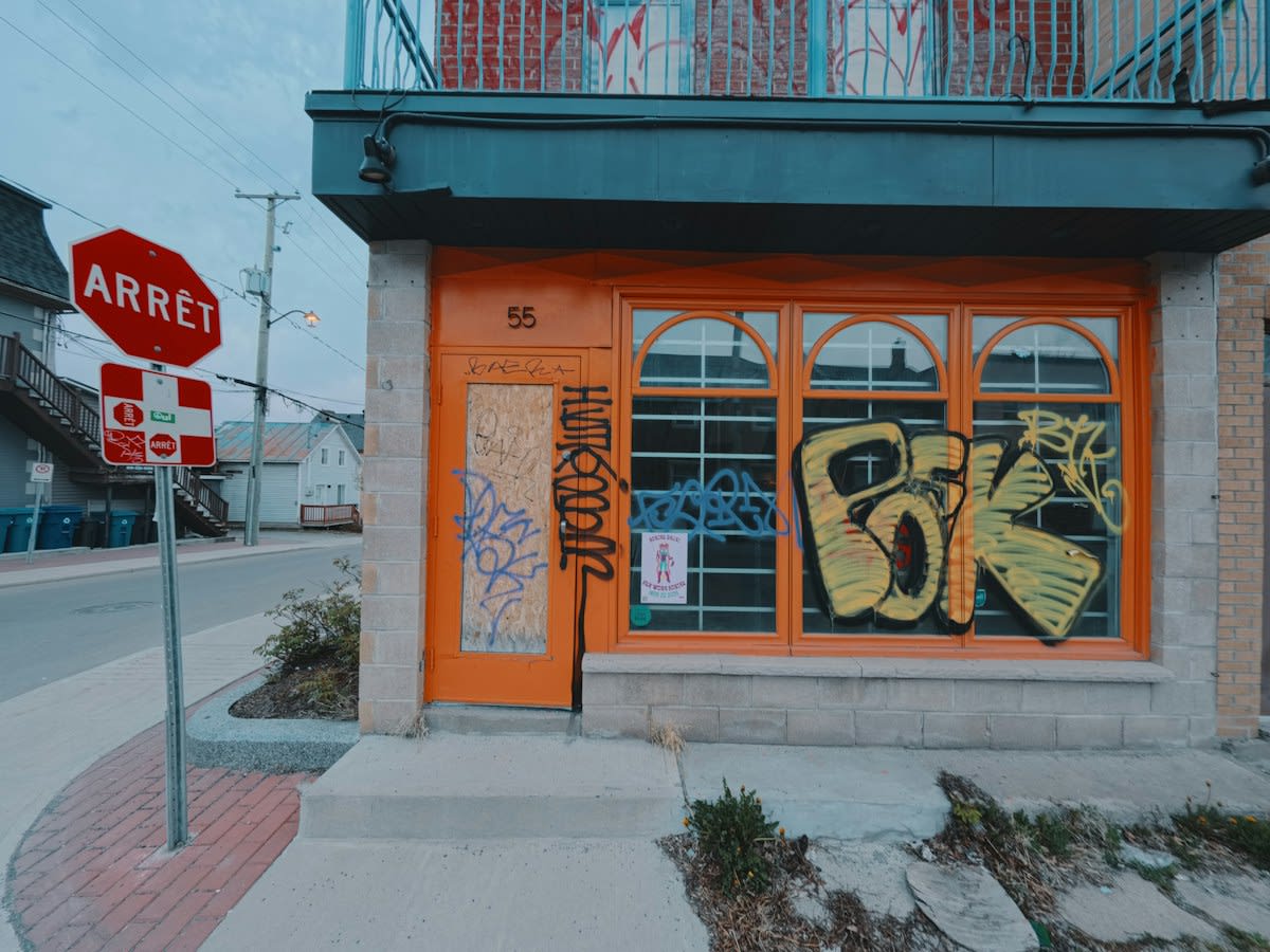
Over-designing is a rookie mistake. Artists want expression. Navigators want direction. When the art obscures the landmark, the map fails. I have seen murals where the 'creative' elements hide the actual street names. The tourist stops to take a photo of the art but forgets where they are. The tool becomes a distraction. Keep the utility layer separate from the aesthetic layer.
- Prioritizing aesthetics over legibility
- Ignoring the sun's path (glare makes maps unreadable at 2 PM)
- Failing to account for seasonal flooding in street-level maps
- Neglecting the 'last ten meters' of the route
Finally, beware of the static nature of paint. A road closure or a new building can render a mural map obsolete overnight. Unlike a digital update, you cannot push a patch to a wall. You need a strategy for 'modular' updates. Use panels or designated 'update zones' where information can be repainted without destroying the entire work. If you treat a map as a permanent monument, you are building a lie.
Fact-Check & Accuracy Note
Verify all BMA permit requirements before procurement. Current zoning laws in Samphanthawong have tightened regarding commercial signage on residential walls. Ensure murals are classified as 'public art' rather than 'advertising' to avoid heavy fines.