The Illusion of Immunity
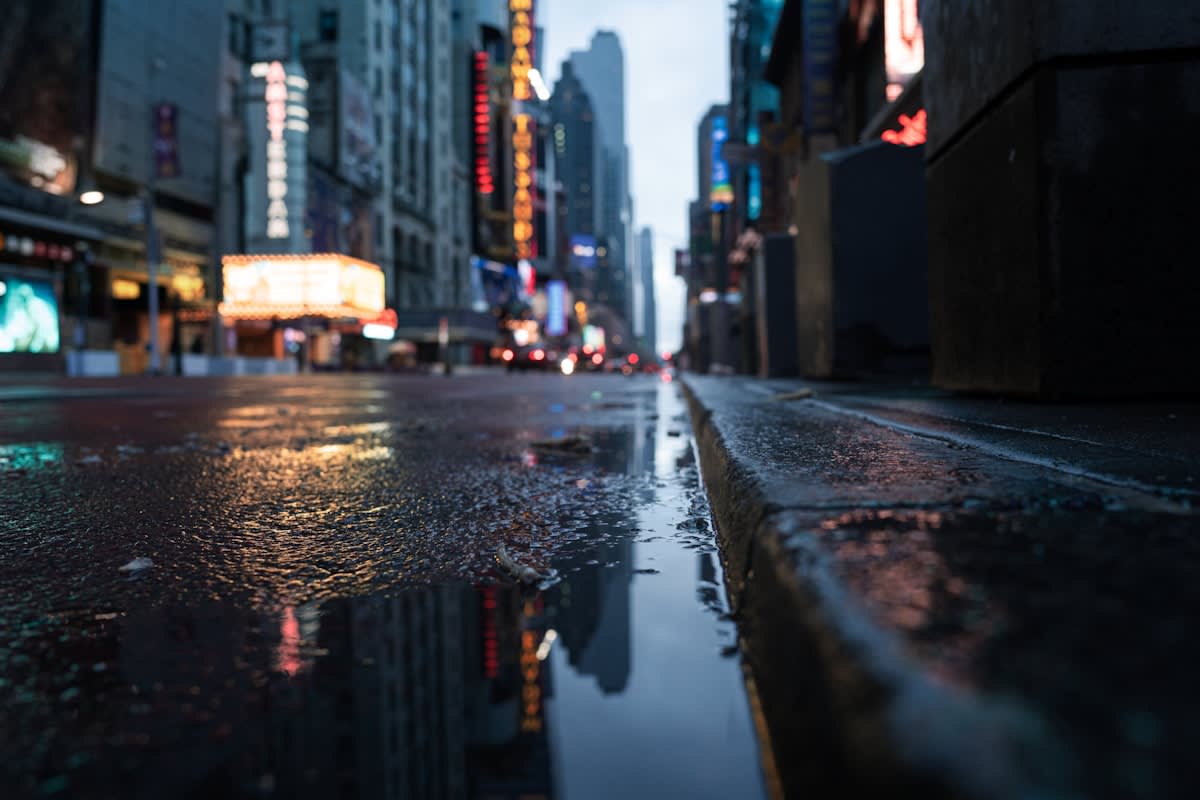
Urban security is rarely compromised by a single, obvious flaw. Instead, it erodes through the accumulation of hidden vulnerabilities—the gap between a FEMA flood map and the actual reach of a storm surge, or the difference between a 1950s bridge design and modern traffic volume. In high-density vertical environments like New York City, these discrepancies are not mere clerical errors; they are catastrophic liabilities. When 631,619 properties are exposed to residential storm surge, representing a staggering $329 billion in Reconstruction Cost Value, the failure is not in the weather, but in the mapping. Many of these properties sit outside traditional flood zones, creating a dangerous psychological buffer that prevents property owners from implementing necessary physical hardening.
Why do we trust a map more than the water? The reliance on high-level boardroom strategies often ignores the boots-on-the-ground reality of urban risk. In a vertical city, a minor property failure at the base of a skyscraper can cascade into a mountain-sized catastrophe for the entire block. True corridor security requires smashing the illusion that inland or northern metropolitan areas are immune to the volatility seen in southern coastal regions. It demands a move toward real-time engagement and a rejection of the static zoning maps that currently define our risk appetite.
Risk Reality Check
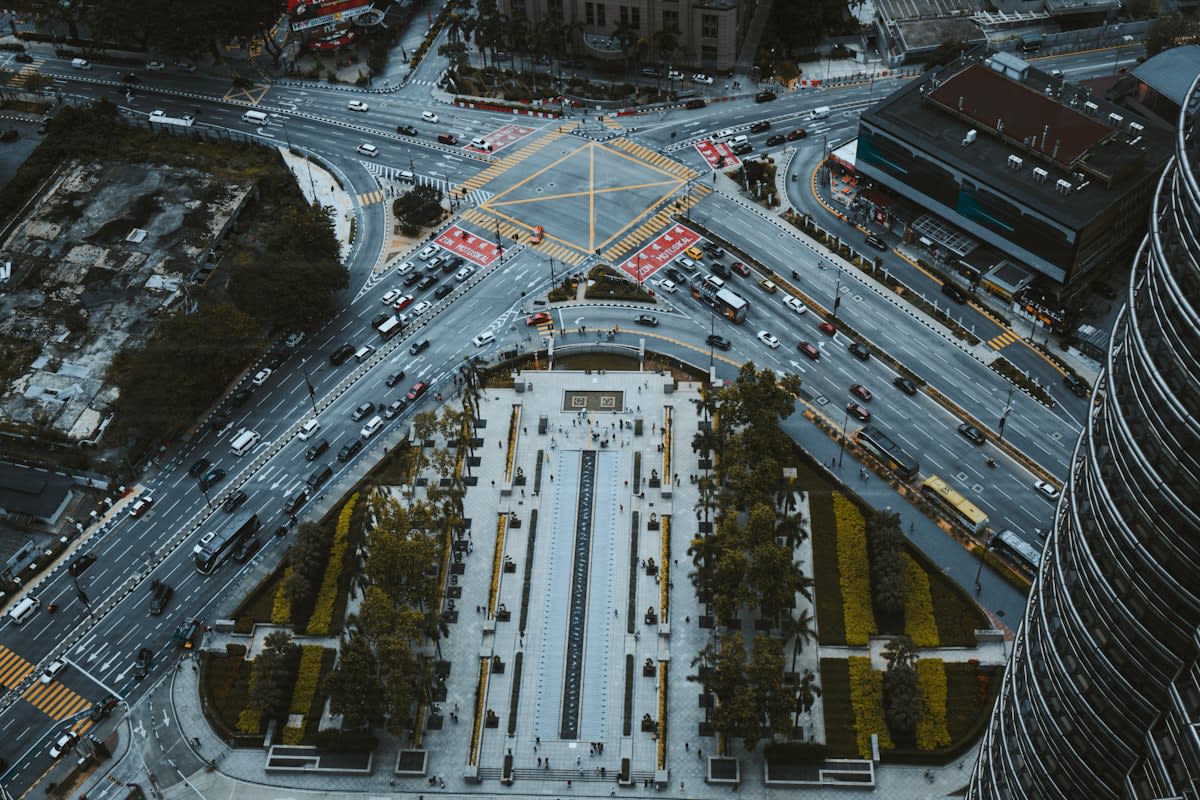
The $329 billion exposure in the New York metro footprint proves that traditional FEMA zoning is an insufficient proxy for actual risk. Security is found in the delta between the official map and the physical reality.
Prerequisites for Corridor Reconstruction
Before breaking ground on a corridor rebuild, practitioners must secure specific datasets that challenge existing assumptions. You cannot rebuild for the world as it was mapped in 1990; you must rebuild for the world as it is being driven and flooded today. This requires a cross-disciplinary audit of physical dimensions and environmental thresholds.
- High-resolution storm surge modeling that ignores legacy FEMA boundaries.
- Current vehicle width distributions, specifically tracking the growth of SUVs and light trucks.
- Structural integrity audits of multi-modal crossings (rail, highway, and pedestrian).
- Relational value maps of urban treescapes to determine nature-based resilience points.
Execution Steps for Vulnerability Elimination
Eliminating hidden vulnerabilities requires a sequence of interventions that prioritize the most fragile link: the pedestrian. When the physical environment evolves—such as the growth of vehicle sizes—but the infrastructure remains static, the result is a lethal misalignment.
- Audit Vehicle-to-Infrastructure Ratios: Address the phenomenon of carspreading. In Britain, the lack of width restrictions for cars allows SUVs to grow until they nearly reach the 2.55m limit reserved for HGVs. Rebuild corridors with wider pedestrian buffers and strict physical width constraints to prevent larger vehicles from squeezing out smaller ones and endangering people on the pavement.
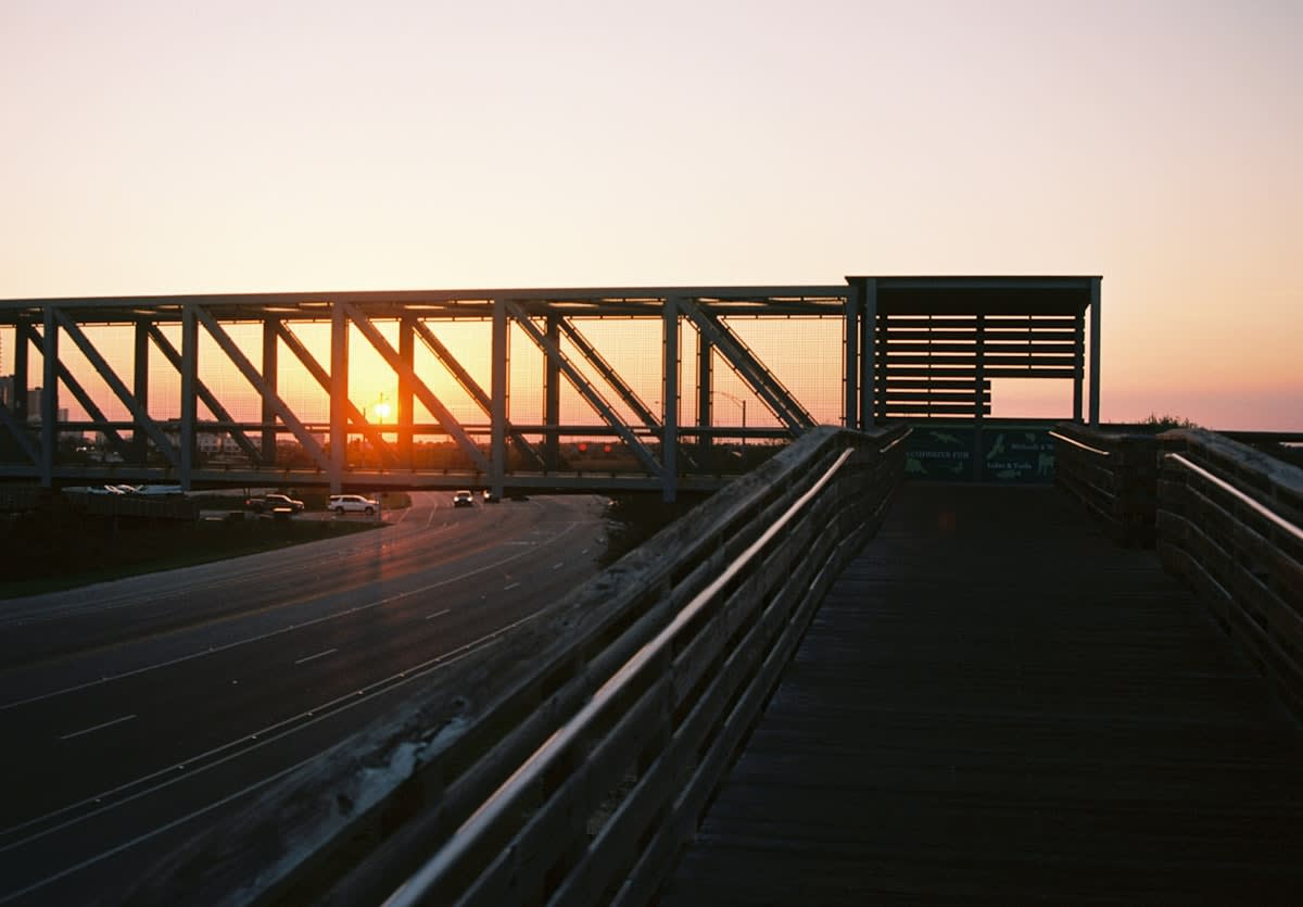
- Replace Legacy Multi-Modal Crossings: Identify bridges built in the mid-century, such as the Home Avenue pedestrian bridge in Oak Park. These structures often span multiple hazards—expressways like I-290, CTA rail lines, and CSX railroad corridors. Rebuilding these requires community-led redesigns that account for current transit volumes and eliminate the bottlenecks that force pedestrians into dangerous proximity with high-speed traffic.
- Implement Nature-Based Buffer Zones: Use the Tree Value Visions approach to integrate multispecies justice into the treescape. Rather than treating street trees as aesthetic ornaments, engineer them as nature-based solutions for climate resilience. This involves prioritizing relational values—the reciprocal human-nature relationship—to ensure that green spaces actually function as flood mitigators and heat sinks.
- Hardening Non-Zoned High-Risk Zones: Identify properties that sit outside official flood zones but within the projected storm surge footprint. Focus reconstruction on the ground-floor electrical and mechanical systems of these buildings to prevent the 'molehill to mountain' escalation in vertical urban environments.
Consider the implications of a pedestrian fleeing a vehicle encounter on a busy road, as seen in recent Florida incidents involving immigration enforcement and tractor-trailers. The vulnerability here is not just the encounter, but the corridor's inability to provide safe egress. When SUVs and HGVs dominate the road space, the pedestrian has nowhere to go. The design must shift from accommodating the vehicle to protecting the human.
| Vulnerability Type | Legacy Assumption | Actual Risk Factor | Required Intervention |
|---|---|---|---|
| Hydrological | FEMA Zone Compliance | $329B RCV Exposure (NYC) | Non-Zonal Hardening |
| Kinetic/Traffic | Standard Car Width | Carspreading (Up to 2.55m) | Width Restrictions |
| Structural | 1950s Bridge Capacity | Multi-Modal Congestion | Complete Replacement |
| Environmental | Aesthetic Greenery | Climate Resilience Gap | Relational Treescapes |
This transition from passive to active defense requires a rejection of tepid government responses. When national road safety strategies acknowledge the risk of larger SUVs but offer only a chat with the industry, the vulnerability remains. The practitioner must implement physical barriers and width restrictions that force the industry to adapt to the city, rather than allowing the city to be crushed by the industry's profit motives.
Common Pitfalls in Corridor Rebuilding
The most frequent failure in urban reconstruction is the reliance on boardroom-level contingency plans. These plans often look perfect on a slide deck but fail the moment they encounter the reality of a storm surge or a traffic jam. Another critical error is the marginalization of relational values in treescape management. When urban planners treat trees as mere assets rather than essential components of a multispecies justice framework, they miss the opportunity to create truly resilient, nature-based buffers.
The FEMA Trap
Avoid the 'FEMA Trap.' If your security plan only addresses designated flood zones, you are leaving billions of dollars in reconstruction value exposed to preventable disaster.
Finally, practitioners must resist the urge to build for the average. The average car no longer exists; there is only the growing SUV and the shrinking pedestrian space. Designing for the average is a recipe for failure. Build for the extreme—the widest vehicle, the highest surge, and the most congested multi-modal crossing. Only then can a corridor be considered truly secure.