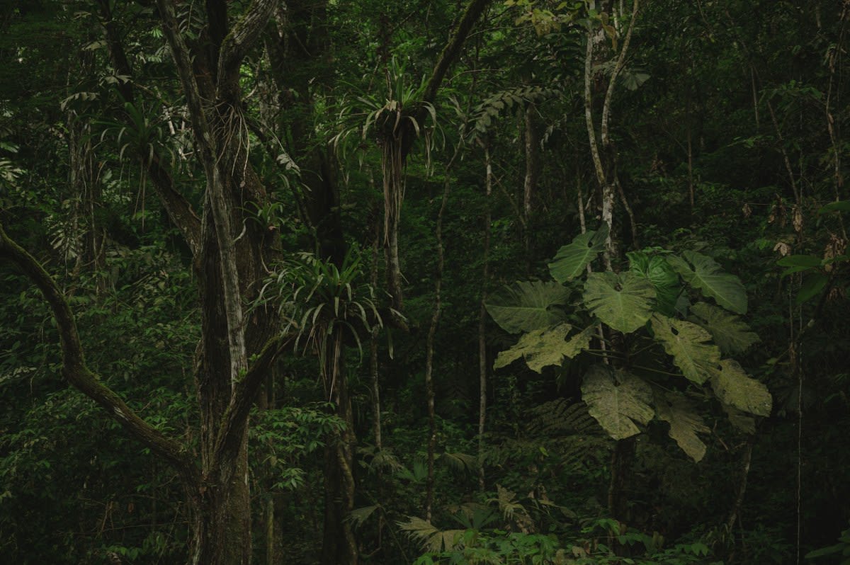
Red clay circles scar the earth. These geometric earthworks, identified as pre-Columbian urban settlements, comprise over 20,000 structures detected via silicon-etched LiDAR pulses (Source: fb-answers, 2026). The scale of this discovery suggests that the Western Amazonia region was not a wild void but a managed, engineered territory. For centuries, the dense canopy acted as a biological shroud, keeping these ditches and roads invisible to the naked eye. Now, fiber-optic data streams are rendering the forest transparent, exposing a level of social organization previously dismissed by colonial historians.
The LiDAR Strip-Mine
Airborne LiDAR operates as a high-frequency surgical tool for archaeology. By emitting rapid light pulses that penetrate gaps in the foliage, the system strips away the greenery to reveal the raw, oxidized soil beneath (Source: Facebook post/Airborne LiDAR, n.d.). This process removes the visual noise of the jungle, leaving behind a stark, LED-bleached map of human intent. What remains are the outlines of sprawling urban settlements that were engineered long before the arrival of European explorers. The precision of these shapes indicates a sophisticated understanding of geometry and land management.
The discrepancy between traditional ground-mapping and silicon-etched detection is staggering. While researchers had previously mapped roughly 400 geoglyphs using conventional methods, the introduction of LiDAR expanded that number to over 20,000 structures (Source: fb-answers, 2026). This is not a mere correction of data; it is a total demolition of the previous narrative. The sheer volume of these structures suggests a population density that the rainforest was theoretically unable to support. It forces a reconsideration of how ancient Indigenous peoples managed soil and water in the Acre region.
| Detection Method | Structures Identified | Visibility | Data Source |
|---|---|---|---|
| Traditional Mapping | 400 | Surface-level/Cleared land | fb-answers, 2026 |
| Airborne LiDAR | 20,000+ | Sub-canopy/Oxidized soil | fb-answers, 2026 |
The data suggests a systemic erasure of history. These circles, squares, and ditches were built more than two thousand years ago, yet they remained ghosts until the canopy was either burned or digitally removed (Source: portalnocturna, 2026). The existence of roads connecting these sites implies a networked society, rather than isolated tribes. This network allowed for the movement of goods and people across the Western Amazonian basin, creating a complex socio-economic web. The geometry is too precise to be accidental; it is the signature of a planned urbanity.
"Amazonian archaeology by digitally stripping away dense rainforest canopy to reveal sprawling, engineered pre- Columbian urban settlements hidden for centuries."— Airborne LiDAR Research Report, Facebook
The friction between the data and the ground is where the real story lives. In the field, an archaeologist faces greasy humidity and a wall of vegetation that makes a ten-meter walk take an hour. On a monitor, the same archaeologist sees a perfect square, etched in oxidized red clay, as if it were a blueprint. This disconnect creates a psychological gap: the map is certain, but the earth is stubborn. The fight is no longer about finding the site, but about proving that the silicon-etched ghost on the screen actually exists in the mud.
The Deforestation Paradox
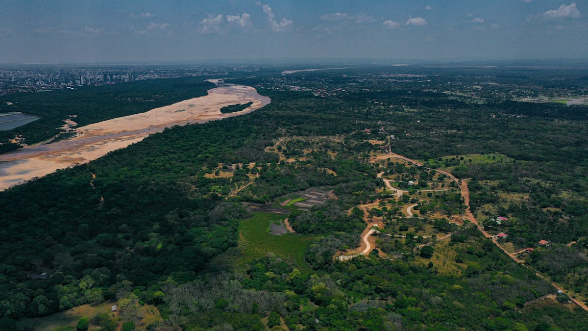
There is a grim irony in how these glyphs are discovered. Many of the first 400 mapped geoglyphs only became visible because of deforestation and fires that devastated large swathes of the rainforest (Source: University of Sydney, 2026). The destruction of the ecosystem provided a window into the past, creating a perverse incentive where environmental collapse leads to archaeological discovery. The inferno that increases CO2 levels also strips the veil from ancient civilizations. We are learning about the ancestors only as we destroy the home of the descendants.
This paradox extends to the technology used. LiDAR is an expensive, high-energy tool that requires precise calibration and fiber-optic processing to separate a tree trunk from a man-made ditch. The result is a clinical, sterile version of history. We see the shapes—the circles and the squares—but we lose the scent of the rot and the sound of the canopy. The data is clean, but the reality is messy. We are trading the visceral experience of the jungle for the efficiency of a silicon-etched coordinate.
The implications for Western Amazonia are profound. If 20,000 structures existed, the region was not a wilderness but a series of garden cities. This suggests that pre-Columbian peoples had mastered the art of rainforest agriculture on a scale that dwarfs current understanding. They did not just survive the jungle; they redesigned it. The ditches were likely used for water management or defense, creating a controlled environment within the chaos of the rainforest. This was a managed empire of clay and foliage.
Failure Points of the Silicon Map
LiDAR is not a magic wand; it has critical failure points. While it can detect a ditch, it cannot tell you who dug it or why they stopped. It provides the skeleton of a city but none of the flesh. The sensors can be fooled by natural geological formations that mimic geometric shapes, leading to false positives in the data. Furthermore, the reliance on airborne surveys means that the most intricate details—the pottery shards, the charcoal layers, the human remains—remain buried. The map tells us where to dig, but it doesn't tell us what we are looking for.
- Temporal Gap: LiDAR detects structures but provides no absolute date without carbon-sampling.
- Material Blindness: Silicon sensors cannot distinguish between a ritual ditch and a waste trench.
- Environmental Interference: Extreme canopy density can still create 'shadow zones' where pulses fail to return.
- Contextual Loss: The urban layout is visible, but the social hierarchy remains a guess.
The cynical reality is that the data is being used to rewrite history without the necessary ground-truthing. It is easier to publish a paper based on a silicon-etched map than to spend three years hacking through the brush in Acre. This creates a divide between the 'screen archaeologists' and the 'mud archaeologists'. The former see a civilization of 20,000 structures; the latter see a few meters of red clay and a lot of mosquitoes. The gap between the two is where the truth is usually buried.
Fact-Check & Accuracy Note
The reported 20,000 structures are detections based on LiDAR signatures. Not every detection has been physically verified on the ground. The 400 mapped geoglyphs represent the verified subset, highlighting a massive verification gap in Amazonian archaeology.
Editorial Note
Editorial Note: This report emphasizes the tension between high-tech remote sensing and traditional field archaeology. The 'Why' behind the hidden nature of these glyphs is tied directly to the biological density of the Amazon and the systemic biases of Western history.