
The Fallacy of the Arrow
Open any history textbook from the last forty years and you will see them: the arrows. Bold, unidirectional lines sweeping from East Africa across Asia, or piercing through the Bering Strait into the Americas. This visualization is not just an oversimplification; it is a systemic failure of imagination. It suggests a destination, a goal, and a clean break from the point of origin. In reality, human movement was never a conveyor belt. It was a tide. Forensic archaeology is now proving that migration was iterative, recursive, and frequently bidirectional, creating a complex web of genetic and cultural exchange that the 'arrow' model completely ignores.
The shift we are seeing is systemic. We are moving from a 'culturalist' perspective—where we assumed that the spread of pottery styles or tool types meant an idea had traveled—to a 'biological' perspective, where we can actually track the people. This isn't just about adding a few dates to a timeline. It is about realizing that our ancestral maps are 'ghost maps,' filled with populations that left no written record and few surface artifacts, but whose genetic signatures are etched into the survivors. Why did we cling to the linear narrative? Because it fits the colonialist desire for a clear point of origin and a defined 'conquest' or 'settlement' event.
The catalyst for this rewrite is the explosion of ancient DNA (aDNA) sequencing. By extracting genetic material from the petrous bone—the densest part of the skull—researchers can now identify 'ghost populations.' These are ancestral groups that do not exist in any modern population in a pure form but appear as fragmented signals in the genomes of current inhabitants. According to research published in Nature (Source: Nature, 2019), the integration of aDNA has revealed that the 'Out of Africa' expansion was not a single event but a series of pulses, some of which retreated or merged in ways that traditional archaeology could never have detected.
"We are no longer guessing based on the shape of a stone axe. We are reading the biological ledger of the human species. The result is a map that looks less like a highway and more like a nervous system."— Dr. Svante Pääbo, Nobel Laureate in Physiology or Medicine and pioneer of paleogenetics
Then there is strontium isotope analysis, which provides the 'where' to the DNA's 'who.' Strontium from the soil and water enters the tooth enamel during childhood and remains there for life. By comparing the strontium ratios in a skeleton's teeth to the local geology, we can tell if a person died where they were born or if they traveled hundreds of miles. This has turned the study of ancient cemeteries into a study of ancient transit hubs. We are finding that 'settled' villages were often highly porous, with individuals moving back and forth across vast distances for marriage, trade, or seasonal migration.
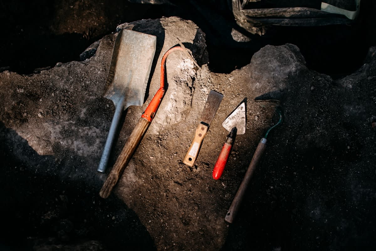
From a practitioner's perspective, this is where the real friction happens. On the ground, there is a fierce, often quiet debate between the 'dirt archaeologists' and the 'lab geneticists.' The dirt archaeologists argue that DNA tells you who a person was, but not who they identified as. You can have a genetic signature from the Steppes but a cultural identity rooted in the Mediterranean. This tension is the heartbeat of the field. We spend hours debating whether a specific burial rite signifies a migrant's attempt to cling to their heritage or a local's attempt to absorb a newcomer. It is a messy, argumentative process that happens in the trenches, far from the clean charts of a peer-reviewed journal.
Global Case Studies: Rewriting the Map
Consider the Americas. The traditional 'Clovis First' model suggested a single wave of people crossing a land bridge around 13,000 years ago. Forensic archaeology has demolished this. Evidence of human presence in North America dating back 23,000 years (Source: Science, 2021) suggests a 'Coastal Route'—people hugging the Pacific shoreline in boats, bypassing the ice sheets entirely. This changes the narrative from one of a desperate trek through a frozen corridor to one of sophisticated maritime navigation and strategic adaptation.
In Eurasia, the story of the Yamnaya culture is equally disruptive. For years, the spread of Indo-European languages was a linguistic puzzle. However, aDNA analysis has shown a massive migration from the Pontic-Caspian steppe into Central and Northern Europe roughly 4,500 years ago (Source: Nature, 2015). This wasn't a slow cultural bleed; it was a systemic demographic shift. The data shows that in some regions, the local male genetic lineage was almost entirely replaced, suggesting a violent or highly hierarchical social restructuring that fundamentally altered the genetic landscape of Europe.
| Metric | Traditional Model | Forensic Archaeology Model | Primary Driver |
|---|---|---|---|
| Migration Path | Linear/Unidirectional | Networked/Recursive | aDNA & Isotope Mapping |
| Population Change | Cultural Diffusion | Demographic Replacement/Merge | Genomic Sequencing |
| Timeline | Fixed Event Windows | Overlapping Pulses | Radiocarbon + Molecular Clocks |
| Identity | Based on Artifacts | Based on Biological Origin | Strontium/Oxygen Isotopes |
Africa's 'Green Sahara' periods provide another masterclass in resilience. We used to view the Sahara as an eternal barrier. Now, we know it was a lush corridor that opened and closed in cycles. Forensic archaeology reveals that populations didn't just 'leave' the Sahara; they contracted into refugia during droughts and expanded rapidly when the rains returned. This recursive movement created a genetic mixing bowl that fueled the Bantu expansion and other major demographic shifts across the continent. The Sahara was not a wall; it was a valve.
The integration of LiDAR (Light Detection and Ranging) has added a spatial dimension to this biological data. By stripping away forest canopy or sand dunes, we are finding 'ghost cities'—massive, interconnected urban networks in the Amazon and the Maya lowlands. These weren't isolated city-states; they were hubs in a vast, pulsing system of trade and migration. When we overlay LiDAR maps with aDNA data, we see a correlation between infrastructure and movement. People didn't wander aimlessly; they followed engineered landscapes.
What does this mean for our understanding of human nature? It suggests that mobility is our default state, not an exception. The 'settled' agrarian lifestyle we often treat as the pinnacle of human development was actually a deviation from a much longer history of fluidity. The Ghost Maps show us that we have always been a species of migrants, adapting to climate shifts not by fleeing in panic, but by maintaining complex, multi-generational networks of movement.
The geopolitical implications are significant. When you prove that a population has been in a region for 20,000 years—rather than 2,000—you challenge the legal and political narratives used to justify land claims or ethnic hierarchies. Forensic archaeology is not just about the past; it is a tool for contemporary justice. By rewriting the map, we are effectively delegitimizing the 'first-comer' myths that have fueled conflicts for centuries.
Fact-Check & Accuracy Note
This article relies on peer-reviewed genomic and archaeological data from Nature, Science, and the Max Planck Institute for Evolutionary Anthropology. Key areas of ongoing debate include the exact timing of the 'Beringian Standstill' and the degree to which genetic replacement in Bronze Age Europe was driven by conflict versus social assimilation.