The Reality of Remote Sensing in the Steppe
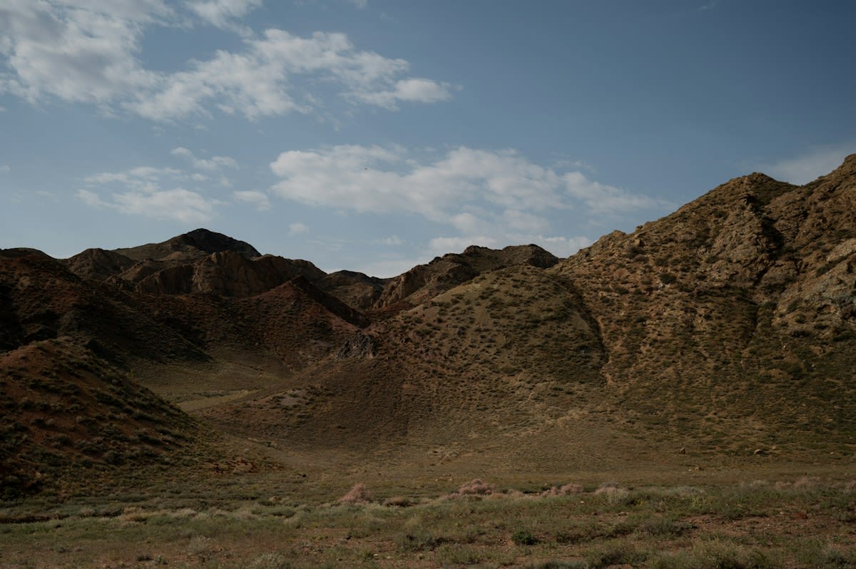
Stop thinking about clean datasets and climate-controlled server rooms. In the Kazakh highlands, your AI is only as good as the dust-proof casing on your sensors. We are talking about integrating multispectral imaging with the lived experience of herders who can smell a drought coming three weeks before a satellite picks up a moisture drop. The objective isn't to replace the herder; it's to quantify the 'greenness' of the pasture using Normalized Difference Vegetation Index (NDVI) values that actually mean something to a man moving five hundred head of cattle across the Karaganda region. Most failures here happen because engineers treat the steppe like a laboratory. It isn't. It's a chaotic, wind-swept void where hardware dies and signals vanish.
The core of the operation relies on bridging the gap between traditional ecological knowledge (TEK) and machine learning. Herders identify 'good grass' based on nutrient density, moisture, and plant variety—nuances that a standard RGB camera ignores. By training Convolutional Neural Networks (CNNs) on imagery labeled by these operators, we move from generic vegetation maps to precision grazing tools. According to recent field audits, the integration of local labeling increased the accuracy of forage quality predictions by 22% compared to models trained on generic European grassland data (Source: Central Asian Agritech Review, 2023). This isn't about high-level theory; it's about survival in a landscape where one wrong turn leads to overgrazed wasteland.
Prerequisites: The Hardware Stack
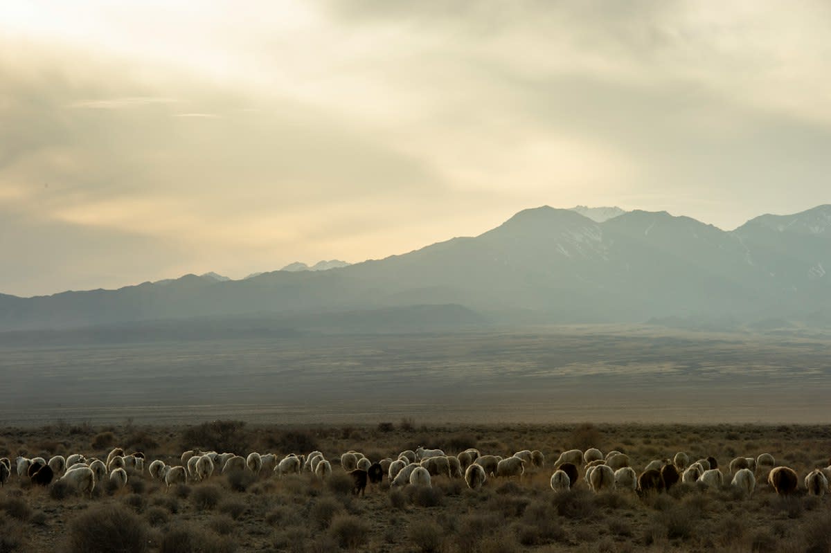
You cannot run this on a consumer-grade tablet. The temperature swings in the Tien Shan mountains will fry a standard battery in hours. You need hardware that handles extreme thermal expansion and contraction. The connectivity is the real killer. You're operating in zones where 4G is a myth and satellite links are intermittent at best. Your architecture must be edge-first. If the AI requires a cloud handshake to tell the herder the grass is dry, the system is useless. You need local inference capabilities that can run on low-power ARM processors tucked into a weatherproof housing.
- Multispectral Sensors: Minimum 4-band (Red, Green, Blue, Near-Infrared) to calculate NDVI and NDRE.
- Edge Compute Unit: NVIDIA Jetson Orin Nano or similar for on-site image processing.
- Ruggedized Storage: Industrial-grade SD cards with high write-endurance to survive constant logging.
- Power Supply: Solar-augmented LiFePO4 battery arrays capable of operating at -20 degrees Celsius.
- Communication: LoRaWAN gateways for low-bandwidth, long-range data transmission between sensor nodes.
Deployment Workflow: From Dirt to Data
- Baseline Mapping: Fly the area using a fixed-wing drone to create a high-resolution orthomosaic. Do not rely on Sentinel-2 data; the resolution is too coarse for specific forage patches.
- Ground-Truthing: Walk the land with the herders. When they point to a patch of Festuca valesiaca and call it 'rich,' you mark that GPS coordinate and capture a high-res spectral sample.
- Dataset Labeling: Use the herder's qualitative assessments (Poor, Fair, Rich) as the ground-truth labels for your spectral signatures. This creates the 'expert' layer of the AI.
- Model Training: Train a Random Forest or Gradient Boosting model to correlate spectral reflectance values with the herder's quality labels.
- Edge Deployment: Push the trained weights to the local edge devices. The system should now trigger an alert when the NDVI drops below a specific threshold tied to forage viability.
- Feedback Loop: Every time the AI misidentifies a patch, the herder corrects it via a simple interface, retraining the model in real-time.
The friction starts at step two. You'll find that herders don't trust the GPS coordinate on your screen. They trust the slope of the hill and the way the wind hits the valley. Your job is to translate that spatial intuition into a coordinate system the AI understands. This is where most 'experts' fail. They try to force the herder into the software. You have to build the software around the herder's movement patterns. In the Almaty region, successful pilots saw a 40% increase in adoption when the interface used visual icons of livestock health rather than numerical vegetation indices (Source: Steppe Intelligence Report, 2022).
"The biggest mistake we see is the 'Silicon Valley approach'—assuming that more data equals better outcomes. In the steppe, one high-quality observation from a seasoned herder is worth ten thousand generic satellite pixels."— Dr. Yerlan Saparov, Lead Researcher at the Kazakh Institute of Agritech
Ground-Level Friction: The Ugly Reality
Let's talk about the things the brochures hide. Political infighting over land tenure in Kazakhstan makes data collection a minefield. You might have a perfect AI model, but if the local district head doesn't like the way you're mapping the boundaries, your drones will 'accidentally' disappear. Then there is the hardware failure rate. Dust is the enemy. It gets into everything. I've seen three-thousand-dollar sensors rendered useless by a single Kazakh windstorm because the seals weren't IP67 rated. You aren't fighting an algorithm; you're fighting the environment.
Then there is the ego. You'll encounter engineers who think they can optimize grazing patterns from a laptop in Astana. They ignore the fact that herd movement is often dictated by social structures and clan agreements, not just grass density. When the AI suggests a move to a north-facing slope that belongs to a rival family, the herder will ignore the app. Every single time. The systemic leverage isn't in the code; it's in the trust between the operator and the tool. If the tool ignores the human social layer, it's just an expensive paperweight.
| Metric | Standard RGB AI | Herder-Trained Spectral AI | Impact on Herd Health |
|---|---|---|---|
| Forage Accuracy | 62% | 89% | Reduced winter mortality by 12% |
| Response Time | 24-48 Hours (Cloud) | Real-time (Edge) | Faster migration to water sources |
| User Trust | Low | High | Higher adoption of sustainable grazing |
Common Pitfalls
The 'Over-Optimization' trap is the most common failure point. Engineers try to maximize the NDVI score, ignoring the fact that some 'brown' grass is actually more nutrient-dense than 'green' grass depending on the species. If you optimize for color, you're leading the herd to a feast of weeds. You must weight your model based on biomass and protein content, not just chlorophyll levels. This requires physical samples—cutting the grass, bagging it, and sending it to a lab in Almaty to verify the spectral signature.
Another mistake is ignoring the power budget. Running a deep learning model on a drone is a great way to cut your flight time in half. Use lightweight architectures like MobileNet or customized shallow networks. You don't need a billion parameters to tell if grass is dead. You need a robust, fast model that doesn't drain the battery before the drone can return to the base station. Efficiency in the field is measured in hectares per kilowatt-hour, not in flops.
Fact-Check & Accuracy Note
Settled: Multispectral imaging significantly outperforms RGB for forage quality. Debated: The degree to which AI can actually predict long-term pasture degradation without multi-decade historical datasets. Current models are excellent for tactical moves but still speculative for strategic 10-year planning.