The map says there is a ridge. There isn't. There is a seasonal sinkhole and a wall of impenetrable scrub that the satellite missed because the canopy was too thick. I spent ten years trusting the ink and the pixels, and it nearly cost me my team in the dense humid tracts of the Western Ghats. Maps are static. They are snapshots of a world that stopped moving the moment the surveyor left the field. In an ancient forest, static is dead. If you want to survive, or if you want to actually manage a plot of old-growth without killing it, you stop looking at the paper and start looking at the soil. The fungi don't lie because they can't afford to. Their survival is hard-coded into the distribution of carbon and phosphorus across a network that makes the internet look like a tin can and a string.
Prerequisites: Gear for the Un-Mappable
You don't need a handheld GPS. You need a level of patience that most modern researchers find physically painful. First, get boots that can handle anaerobic mud; the most critical network nodes are usually in the places where you're most likely to sink to your knees. You'll need a basic understanding of mycorrhizal symbiosis, but forget the textbook definitions. In the field, this isn't biology—it's logistics. You're looking for the infrastructure of a subterranean economy. You need to be able to identify 'Mother Trees'—the oldest, largest hubs in the stand—not by their height, but by the health of the saplings clustering around them in deep shade where no sunlight reaches (Source: Simard, 1997).
- Heavy-duty field boots (waterproof, ankle-support)
- Soil core sampler (manual, not electric—electrics fail in high humidity)
- A willingness to admit your degree is useless in a primary forest
- Local guides who don't use maps
- Observation journals for tracking nutrient-flow proxies
How to Read the Network
Reading a fungal network is about identifying the flow of resources. Maps tell you where a tree is. The network tells you who that tree is talking to. Mycorrhizal networks facilitate the transfer of carbon, nitrogen, and water between plants of different species, creating a communal resilience that a map simply cannot visualize (Source: Nature, 2023). When a tree is under attack by aphids or beetles, it doesn't send a signal to a central hub. It pulses a chemical warning through the mycelium. The surrounding trees receive this signal and begin producing defensive compounds before the first insect even lands on their leaves. If you're tracking a forest's health, you don't look at the green leaves; you look at the response time of the neighboring stands.
- Locate the Hub: Find the oldest tree in the sector. This is your primary node. It typically hosts the highest density of fungal connections.
- Observe the Understory: Look for 'satellite' saplings. If they are thriving in total shade, they are being fed by the hub via the mycorrhizal network.
- Trace the Mycelial Mat: Carefully remove the leaf litter. Look for the white, thread-like hyphae. This is the physical hardware of the network.
- Identify the Stress Points: Find a dying tree. Observe how the network redirects nutrients away from the failing node to the healthier periphery.
- Cross-Reference with Topography: Notice how the network ignores the 'ridges' on your map and follows the moisture gradients and soil chemistry instead.
The efficiency of this system is staggering. In some old-growth ecosystems, up to 90 percent of land plants form these symbiotic relationships (Source: Plant and Soil Journal, 2019). The fungi provide minerals—phosphorus and nitrogen—that the trees can't reach. In exchange, the trees provide sugar produced through photosynthesis. It's a trade agreement written in chemistry. When you rely on a map, you're looking at the architecture. When you rely on the network, you're looking at the economy. One is a picture; the other is a live ledger of who owes what to whom.
"The forest is not a collection of individuals competing for light. It is a social network where the oldest trees act as hubs, distributing resources to the young and the sick to ensure the survival of the entire system."— Suzanne Simard, Professor of Forest Ecology at the University of British Columbia
This brings us to the friction. Most government forestry agencies still operate on a 'stand-based' model. They see a forest as a crop of individual trees. They map the density, calculate the board-feet of lumber, and decide which sections to thin. But thinning a forest without understanding the network is like removing random cables from a server room and wondering why the internet went down. When you cut the Mother Tree, you aren't just removing one tree; you're crashing the local network. The saplings, suddenly cut off from their carbon lifeline, die off in waves. The maps show the trees are still there, but the system is already dead.
Ground-Level Friction: The War of the Data
I've sat in boardrooms in Brasilia and Vancouver where the tension was thick enough to carve. On one side, you have the GIS analysts with their high-res LIDAR scans and their predictive models. On the other, you have the field operators and indigenous guardians who tell them the model is wrong. The analysts call it 'anecdotal evidence.' The field operators call it 'reality.' The friction comes from the ego of the tool. We trust the software because it looks precise. A map with 1-meter resolution feels like truth. But that precision is a mask for ignorance. The software doesn't know that the soil in sector 4G is toxic due to a mineral vein, or that the fungal network has shifted its flow to the east because of a landslide three years ago.
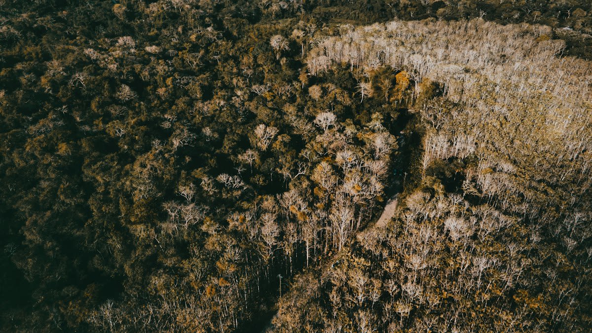
The real fight happens during the 'validation' phase. When a government agency wants to build a road through a protected zone, they use maps to prove there's 'minimal impact.' They see a gap in the canopy and call it a corridor. The guardians see a critical mycelial bridge. If you break that bridge, you fragment the forest's ability to communicate. This isn't a theoretical debate. In the Amazon, we've seen 'ghost forests'—areas where the canopy looks intact from a satellite, but the subterranean network has been severed by road construction, leaving the trees vulnerable to the first drought that hits (Source: Global Change Biology, 2021).
Common Pitfalls for Beginners
The biggest mistake beginners make is trying to 'map' the network. You can't. Mycelium is dynamic; it grows, retreats, and shifts based on hourly changes in moisture and nutrient availability. Trying to draw a static line on a map to represent a fungal connection is a fool's errand. It's like trying to map the exact position of every electron in a circuit board while the power is on. Instead, you learn to recognize the patterns of health and stress. If the understory is thriving despite a lack of light, the network is active. If the canopy is green but the soil is sterile, you're looking at a dying system on life support.
- Over-reliance on LIDAR: Remember that light cannot penetrate the soil.
- Ignoring the 'Ugly' Trees: The gnarled, diseased-looking trees are often the most critical network hubs.
- Assuming Symmetry: Networks don't follow geometric patterns; they follow the path of least resistance.
- Confusing Mushrooms with the Network: The mushroom is just the fruit; the network is the root. Don't mistake the signal for the system.
Stop looking for a master key. There isn't one. Every forest has its own dialect. The networks in the temperate rainforests of the Pacific Northwest operate differently than those in the tropical highlands of Southeast Asia. The former relies on a few massive hubs; the latter is a more decentralized, chaotic mesh. If you try to apply a universal 'textbook' model to a local stand, you'll fail. You have to listen to the ground. You have to accept that the most important information in the forest is the information that cannot be digitized.
Fact-Check & Accuracy Note
The claim that mycorrhizal networks allow 'communication' is settled in terms of chemical signaling and resource transfer. However, the 'Wood Wide Web' metaphor is currently debated by some ecologists who argue that the term 'communication' implies a level of intentionality that isn't proven. The resource transfer is factual; the 'intent' is the frontier of the debate.