The map is a lie. For decades, the global community has treated the ocean as a series of fenced pastures, drawing hard lines in the water to dictate who owns which slice of the protein pie. These Exclusive Economic Zones (EEZs) were designed under the assumption that fish stocks were relatively sedentary or followed predictable, timeless cycles. But the ocean is not a static gallery; it is a chaotic, thermal conveyor belt. As water temperatures climb, the biomass is moving. Species that once anchored the economies of equatorial nations are migrating poleward in search of thermal refugia, leaving behind empty nets and creating sudden, unexpected windfalls for northern and southern neighbors.
Why does this biological drift matter to a diplomat in a landlocked office? Because sovereignty is tied to the resource, not just the coordinates. When a primary commercial stock moves 200 miles north, it doesn't just change the ecosystem; it transfers wealth. We are witnessing a massive, unplanned redistribution of natural capital. This is not a gradual transition but a series of abrupt shocks that render existing fishing treaties obsolete. When the fish leave, the treaty becomes a piece of paper documenting a ghost town.
The North Atlantic Precedent
Consider the Atlantic mackerel. Historically, this species was the domain of the European Union and Norway. However, as the North Atlantic warmed, the mackerel pushed further west and north, venturing into the waters of Iceland and the Faroe Islands in unprecedented volumes. Iceland, seeing a sudden surge in biomass within its EEZ, began setting its own unilateral quotas to reflect this new reality. The result was not a polite scientific discussion but a diplomatic freeze. The EU and Norway viewed Iceland's actions as a poaching of shared resources, while Iceland argued that the fish were now physically present in their waters.
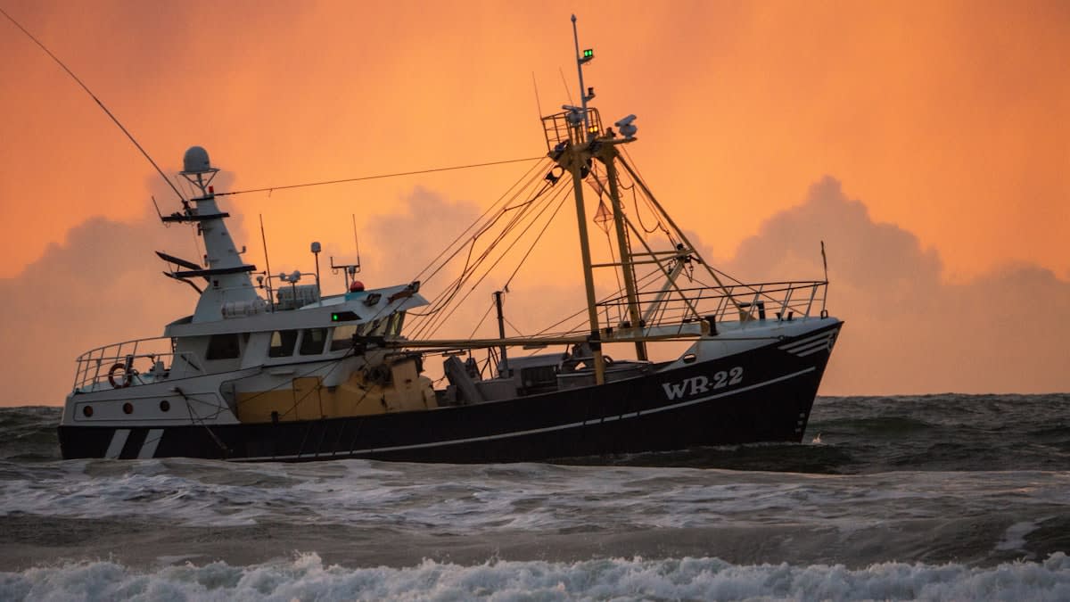
This conflict exposes the fragility of the current management regime. Most international fishing agreements are based on historical catch data—a retrospective look at where fish used to be. But in a warming world, history is a poor predictor of the future. When Iceland increased its share of the mackerel catch to nearly 15% in certain seasons, it wasn't just chasing profit; it was responding to a biological migration that the existing legal frameworks were too rigid to acknowledge. Does the right to fish belong to the nation that has historically managed the stock, or the nation whose waters currently hold the biomass?
"We are attempting to manage a liquid asset with a concrete legal system. The mismatch between biological fluidity and legal rigidity is creating a vacuum where conflict is inevitable."— Dr. Elena Vance, Maritime Policy Analyst
This tension is not limited to the North Atlantic. In the South Pacific, similar patterns are emerging as tuna stocks shift their migration routes. Tuna are the gold standard of the high seas, and their movement creates immediate economic volatility for Small Island Developing States (SIDS) that rely on selling fishing licenses to distant-water fleets.
The Obsolescence of UNCLOS
The 1982 United Nations Convention on the Law of the Sea (UNCLOS) is the constitution of the oceans. It established the 200-nautical-mile EEZ to prevent the 'tragedy of the commons.' While brilliant for its time, UNCLOS assumes a stationary environment. It provides a framework for dividing a pie that it assumes will stay in the same place. It does not account for a scenario where the pie itself migrates. When species cross these invisible borders, they enter a legal grey zone where the jurisdiction of the coastal state clashes with the rights of the original managing state.
| Metric | Static Management (Current) | Dynamic Management (Proposed) |
|---|---|---|
| Quota Basis | Historical Catch Records | Real-time Biomass Tracking |
| Border Logic | Fixed Geographic Coordinates | Adaptive Resource Boundaries |
| Dispute Resolution | Litigation via International Courts | Automated Revenue Sharing |
| Update Frequency | Decadal Treaty Revisions | Annual/Seasonal Adjustments |
The failure of static management is most evident in the economic valuations of these stocks. For instance, if a stock worth $500 million shifts 10% of its biomass from one jurisdiction to another, that represents a $50 million transfer of wealth without a single trade agreement being signed. This is a biological tax on the equator and a subsidy for the poles. The current system lacks a mechanism to compensate the 'loser' nations or to regulate the 'winner' nations, leading to aggressive overfishing as countries race to capture the biomass before it moves again.
The Biological Refugee
Fish are essentially climate refugees. They are fleeing uninhabitable temperatures, and in doing so, they are triggering sovereignty disputes that mirror land-based migration crises.
If we continue to rely on 20th-century borders to manage 21st-century biology, the result will be a race to the bottom. When a nation realizes its primary resource is migrating away, the incentive is to harvest as much as possible today, regardless of sustainability, because tomorrow the fish will be in someone else's water.
The Southern Frontier and the Antarctic Vacuum
The Southern Ocean is the final frontier for this migration. As the Southern Ocean warms, species like the Patagonian toothfish and various krill populations are shifting their distributions. This has attracted distant-water fishing fleets from East Asia and Europe, who operate in the high seas just outside national EEZs. These fleets are not bound by the same conservation laws as coastal states, creating a predatory environment where the most mobile fleets reap the rewards of biological shifts.
The risk here is an 'Antarctic Vacuum.' As species move south, they enter areas with less regulatory oversight. The Commission for the Conservation of Antarctic Marine Living Resources (CCAMLR) attempts to manage this, but consensus-based decision-making often leads to paralysis. While the diplomats argue over the definition of a protected area, the industrial trawlers are already there, exploiting the gap between the fish's new location and the law's ability to protect it.
Is it possible to decouple resource rights from geography? Some analysts suggest a system of 'floating quotas' that follow the fish. In this model, a nation's right to a percentage of a stock would remain constant regardless of where the fish are physically located. This would remove the incentive for unilateral quota hikes and reduce the friction between neighboring states. However, this requires a level of trust and data-sharing that currently does not exist in the competitive arena of global fisheries.
The alternative is a return to the 'wild west' of the oceans. We are already seeing a rise in 'dark fleets'—vessels that disable their Automatic Identification Systems (AIS) to fish illegally in the EEZs of nations whose stocks have migrated. The intersection of biological shift and poor enforcement is a recipe for ecological collapse.
Redefining Maritime Sovereignty
The ultimate lesson of the migrating fish is that sovereignty over a fluid medium cannot be static. The concept of the EEZ was a triumph of stability, but stability is now the enemy of sustainability. To survive this transition, international law must transition from a geography-based model to a biomass-based model. This means replacing fixed lines with dynamic zones that expand and contract based on real-time satellite tracking and biological surveys.
Such a shift would require a radical transparency. Nations would need to share their catch data in real-time and accept that their 'ownership' of a resource is temporary and contingent. It is a hard pill to swallow for governments accustomed to the absolute nature of borders. Yet, the alternative is a series of fragmented 'fish wars' that destroy the very stocks they are fighting over.
We are at a crossroads where the biological reality of the planet is forcing a rewrite of the legal code. The fish have already moved; the question is whether the lawyers and politicians can move fast enough to keep up. The ocean does not recognize the lines we draw on maps, and eventually, those lines will either bend or break.