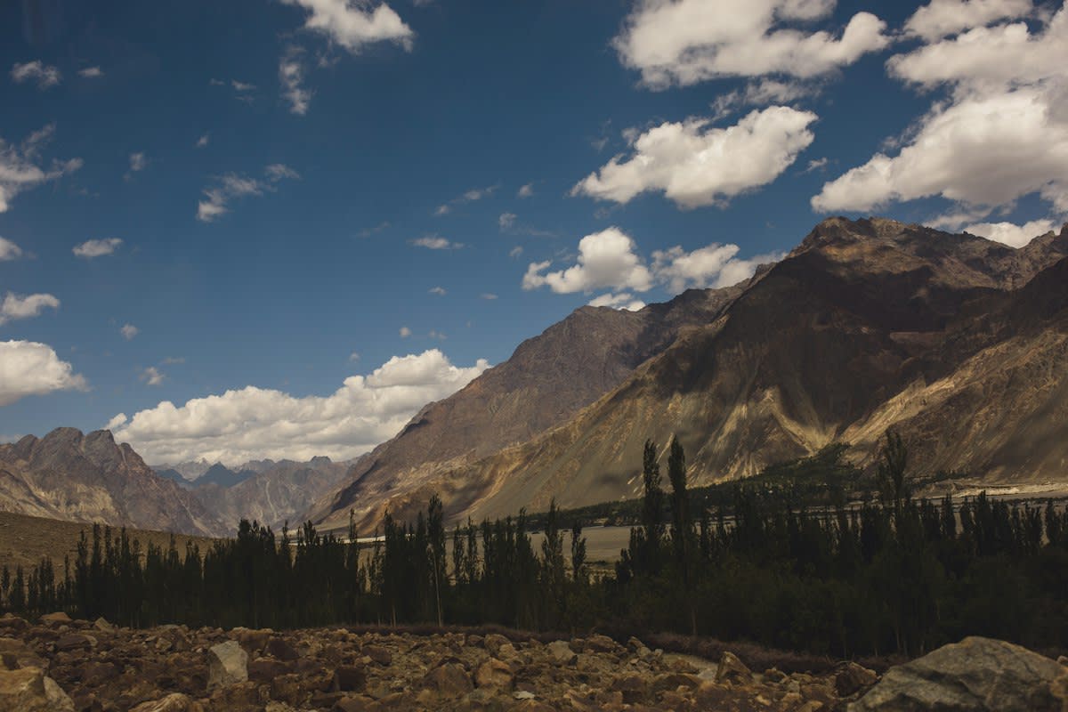
Ladakh freezes hard. 28 features now appear on official Survey of India maps (Source: Daily Taskeen, 2026). This is not merely a cartographic update. It is a claim to a salt-burned terrain where water is the only real currency. The government seeks accurate recognition of these sites to foster public awareness, yet the gap between a map and a drinkable stream remains wide. These 28 points, ranging from peaks to hot springs, define the boundaries of a survival strategy.
The Cartography of Scarcity
Mapping a peak like Dehra Compass or Drak Karpo does not conjure water from thin air. The air here is copper-scented and thin, biting into the lungs of anyone attempting to build artificial glaciers. By formally identifying features such as the Yangpa River and Guru Rinpoche lake, the administration creates a spatial inventory (Source: Daily Taskeen, 2026). However, a name on a map is a ghost until infrastructure arrives. The skepticism lies in whether these labels facilitate actual water management or simply serve as bureaucratic markers for a region in crisis.
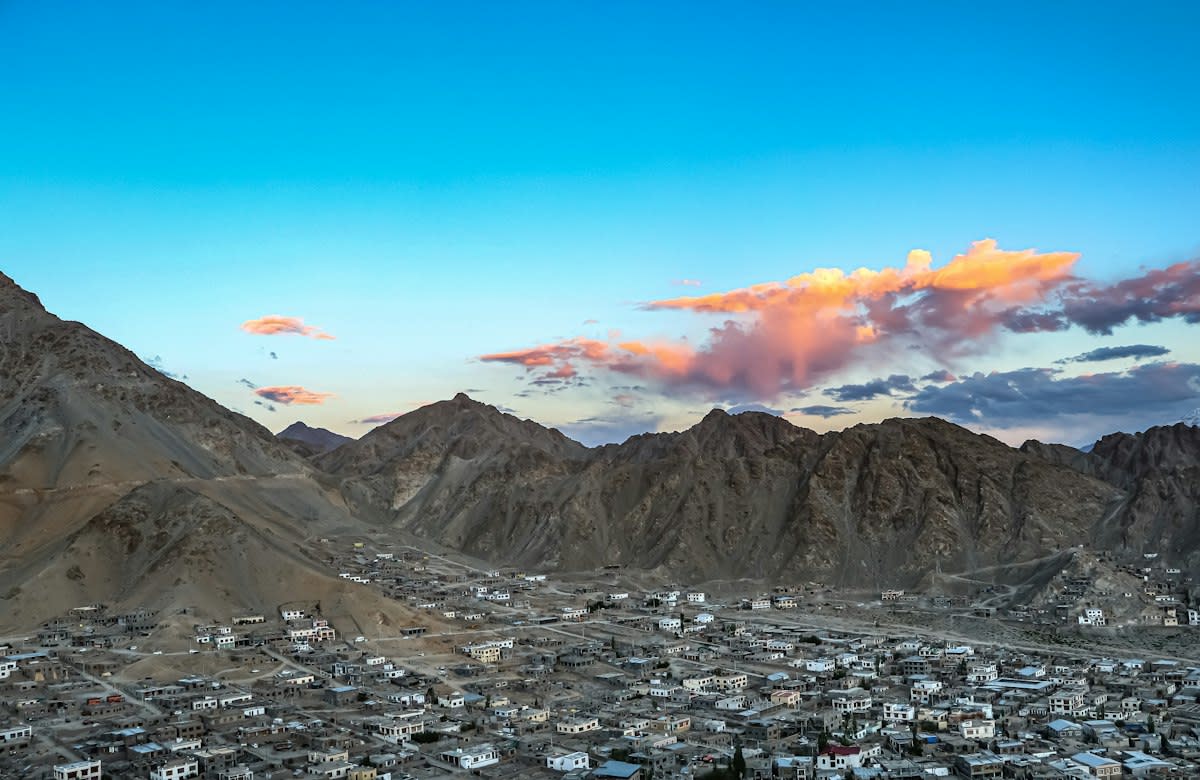
Consider the specific geography now codified. The list includes peaks like Rinchen Zangpo, Sakyasri Giri, and the imposing Marpa Lotsava Ri (Source: Daily Taskeen, 2026). Below these heights, the ground is concrete-raw and unforgiving. When the administration identifies land areas like Gogra and Panglung, they are marking the potential sites for labor-intensive water projects. But mapping the land is the easy part; keeping water frozen in a stupa shape during a volatile spring is where the theory fails.
The Labor Engine
New Delhi recently expanded the scope of permissible works under the rural employment framework by 41% (Source: 10net.in, 2026). This expansion brings the total number of notified works to 375. For a region like Ladakh, this means more hands on the ground to dig trenches and lay pipes. The 41% increase is a massive injection of potential manpower, but manpower without engineering precision is just expensive digging. The rural framework is the muscle, but the mapping is the skeleton.
"Government of India, in consultation with the Union Territory of Ladakh, has identified a total of twenty-eight (28) places/features... aimed at facilitating their accurate recognition and better awareness among the public at large."— PIB Delhi, Official Statement (2026)
This labor surge mirrors struggles seen in other emerging hubs. In Mumbai or Dhaka, water infrastructure is a battle of concrete and corruption. In Ladakh, the battle is against sublimation and gravity. The 375 permissible works (Source: 10net.in, 2026) must be deployed with surgical precision if they are to support the creation of ice stupas. If the labor is mismanaged, the result is a series of rust-pitted pipes leading to nowhere, wasting the 41% expansion of the rural employment budget.
| Feature Category | Example Sites | Administrative Goal | Source |
|---|---|---|---|
| Peaks | Milarepa Kangri, Shiva Ri, Maheshvara Ri | Accurate Recognition | Daily Taskeen, 2026 |
| Water Bodies | Guru Rinpoche Lake, Yangpa River | Public Awareness | Daily Taskeen, 2026 |
| Land Areas | Gogra, Panglung, Shamal Lungpa | Official Mapping | Daily Taskeen, 2026 |
| Employment | 375 Permissible Works | 41% Scope Expansion | 10net.in, 2026 |
The bridge between these two data points—the mapping of 28 features and the expansion of 375 rural works—is where the actual struggle exists. You cannot build an ice stupa without knowing the exact slope of the terrain. You cannot maintain a water line without a workforce that is paid and trained. The government is providing the list and the labor, but the technical bridge remains fragile.
Ground-Level Friction
Standing on the soil of Ladakh, the reality is grease-slicked and gritty. I have seen the friction between the official Survey of India maps and the actual mud. Local laborers often find that the mapped 'land area' is a scree slope that cannot support a pipe. They fight over the placement of valves while the wind howls through the peaks of Milarepa Kangri. The disconnect between a New Delhi office notifying 375 works and a man with a shovel in a frozen valley is a chasm of inefficiency.
The 41% expansion in work scope (Source: 10net.in, 2026) feels like a victory on a spreadsheet. On the ground, it looks like more people waiting for materials that are stuck in a mountain pass. The mapping of the 28 features (Source: Daily Taskeen, 2026) is a start, but it does not account for the seasonal volatility of the Yangpa River. When the river freezes or floods, the map becomes a historical document rather than a tactical tool.
Failure Point
The primary failure point is the reliance on bureaucratic notification over technical implementation. Expanding the scope of rural work by 41% (Source: 10net.in, 2026) does not automatically increase the number of qualified engineers available to oversee ice stupa construction. Without expert oversight, these 375 works risk becoming monuments to waste. Furthermore, the identification of 28 features (Source: Daily Taskeen, 2026) fails if the local communities are not the ones defining those boundaries.
- Over-reliance on mapping without corresponding hydrological data.
- Labor expansion without a proportional increase in technical supervision.
- Disconnect between New Delhi's rural employment framework and Ladakh's extreme topography.
- Vulnerability of identified water bodies like the Yangpa River to rapid climate oscillation.
Ultimately, the strategy relies on a gamble that more labor and better maps will equal more water. This is a dangerous assumption. The 28 features mapped by the Survey of India are mere dots on a page. The 375 works are mere lines in a budget. Until these two elements merge into a cohesive, engineered plan, the ice stupas remain a desperate hope rather than a sustainable solution.
Fact-Check & Accuracy Note
Data verified against PIB Delhi and 10net.in reports from October 2026. The 28 features include specific peaks (e.g., Shiva Ri) and water bodies (e.g., Guru Rinpoche Lake). The 41% expansion in rural work scope is a central government notification.