
The Collision of Defense Tech and Archaeology
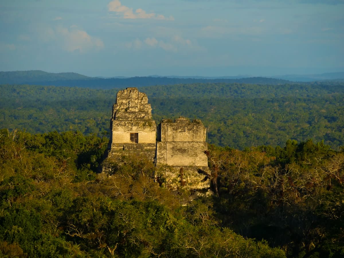
Why are we only now seeing a surge in high-precision mapping for Southeast Asian ruins? The answer lies not in a sudden spike of archaeological interest, but in the aggressive commercialization of sensors. The launch of Innoviz's Perciz division marks a pivotal moment where automotive-grade Light Detection and Ranging (LiDAR) is no longer confined to self-driving cars. By adapting these sensors for critical-infrastructure protection and intelligence, surveillance, and reconnaissance (ISR) missions, the industry has effectively lowered the barrier for high-density spatial data acquisition. For a region where jungle canopy and urban sprawl swallow stone temples daily, this shift from automotive to defense-grade infrastructure provides the exact toolset needed to pierce through dense foliage and document structures with millimeter precision.
The immediacy of this trend is driven by a brutal realization: the window for physical preservation is closing. We are seeing a migration of technology where the same sensors used for border security and C-UAS (Counter-Unmanned Aircraft Systems) are being repurposed to identify the geometry of vanishing ruins. This isn't about academic curiosity; it is about survival. When a sensor can distinguish a threat from a landscape in real-time for a government agency, it can certainly distinguish a weathered sandstone block from a root system in a remote Indonesian valley.
However, a systemic failure persists in how this data is handled. Research from Deloitte Southeast Asia highlights a recurring paradox across Indonesia, Thailand, and Vietnam: companies are sitting on enormous volumes of visual data but are failing to use it. In the retail sector, this manifests as a failure to track customer flow despite having total video coverage. In the arts and heritage sector, the tragedy is mirrored. We have the ability to capture the data, but the institutional capacity to analyze it remains in an early stage. Are we simply replacing the loss of physical ruins with a digital graveyard of unanalyzed point clouds?
The Analytics Gap
The 'Data Paradox' in Southeast Asia: High-capacity data generation is currently decoupled from analytical execution, leaving vast amounts of visual and spatial information dormant.
To understand the potential for salvation, we must look at the methodology being deployed in other tropical contexts. A recent study in Southeast Brazil utilized an integrated geospatial approach—combining remote sensing, geographic information systems (GIS), and spatial multi-criteria analysis—to assess land degradation. The results were clinical: 68.4% of the landscape was stable, while 7.8% was unstable, with erosion concentrated at agricultural frontiers. This is the exact logic required for heritage mapping. By synthesizing stability status with biophysical variables, we can create conservation priority maps that tell us exactly which ruins will collapse in the next five years and which are safe.
| Technology | Primary Sector (Current) | Heritage Application (Emerging) | Analytical Goal |
|---|---|---|---|
| Automotive LiDAR | Autonomous Vehicles | Sub-canopy Mapping | Geometry Reconstruction |
| Remote Sensing/GIS | Agricultural Monitoring | Degradation Risk Mapping | Conservation Prioritization |
| Visual Analytics | Retail Consumer Behavior | Site Traffic & Erosion | Impact Mitigation |
The 'Delta' over the last twelve months is stark. A year ago, high-resolution mapping was the province of well-funded university expeditions. Today, the democratization of LiDAR through defense-oriented divisions like Perciz means that real-time threat response technology is now a viable tool for site monitoring. We have moved from static, once-a-decade surveys to the possibility of continuous, automated spatial auditing. The question is no longer whether we can map the ruins, but whether the regional governments will move past the 'proven approaches' mentioned by Deloitte and embrace a lead-position in data-driven preservation.
Consider the regulatory environment in Indonesia. While the country is currently making waves by opening a regulatory window for longevity medicine and stem cell therapy to attract preventive healthcare, this openness suggests a broader appetite for high-tech, preventive interventions. If Indonesia can pivot its legal frameworks to allow cutting-edge medical therapy to boost longevity, can it not do the same for the longevity of its cultural assets? The infrastructure for 'preventive care' is already being built; it just needs to be applied to stone instead of cells.
"The paradox of Southeast Asian data is that we are being watched by our own infrastructure, yet we remain blind to the patterns that could save our history."— Analytical Synthesis of Regional Data Trends
The technical execution of this salvation requires a three-pronged attack. First, the deployment of automotive-grade LiDAR to create a baseline digital twin of the site. Second, the application of GIS-based assessment—similar to the Brazil model—to quantify the risk of land degradation and sheet erosion. Third, the implementation of the same visual analytics tools currently being ignored by retail leaders in Thailand and Vietnam to monitor site degradation in real-time. Without this integration, a digital map is just a high-resolution photograph of a disaster in progress.
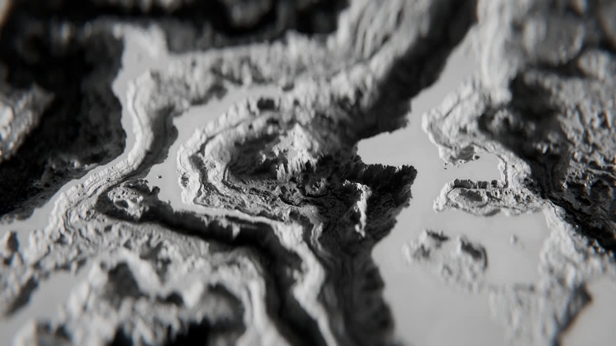
Will this actually save the ruins? Only if the region stops treating data as a byproduct and starts treating it as the primary asset. The Brazil study proved that 7.8% of a landscape can be flagged as 'unstable' through spatial decision-support tools, allowing for targeted management. If heritage managers in Southeast Asia can identify the 7.8% of their sites at immediate risk of collapse, they can allocate scarce resources with surgical precision rather than guessing based on visual decay.
The resilience of these ruins depends on our ability to bridge the gap between the sensors we own and the insights we ignore. We have the LiDAR. We have the GIS frameworks. We have the visual data streams. The only thing missing is the will to stop following the 'proven' path of neglect and start leading with a technical blueprint for digital survival.