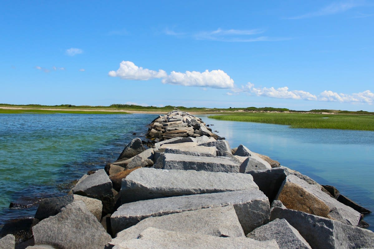
Concrete does not grow. It sits in the dirt, sweating concrete under a relentless sun, providing the only definitive line between a standing forest and a blackened wasteland. In Del Norte County, the difference between a managed burn and a total loss is the speed of the containment line. The Hiouchi-Smith River Area project covers 1,677 acres, focusing on permanent shaded fuel breaks along strategic ridgetops to stop the advance of fires like the Chetco Bar and Smith River Complex (Source: Governor of California, 2026). This is not about aesthetics; it is about creating a hard stop for thermal energy.
Prerequisites for Deployment
You cannot move a single cubic yard of material without a legal shield. The primary bottleneck is not the pour, but the permit. In California, the codification of executive orders has stripped away a year or more of red tape for complex forest restoration and community protection projects (Source: Governor of California, 2026). Field operators must ensure they are aligned with the Wildfire County Coordinator Program established via SB 973 and the Fire Innovation Unit created by SB 1079 (Source: Governor of California, 2026). Without these specific legislative anchors, the project will stall in review before the first mixer arrives.
- Legislative alignment with SB 973 for county-level coordination.
- Technical approval from the Fire Innovation Unit (SB 1079).
- Easement agreements for coastal properties in high-energy zones like Gandys Beach.
- Zoning clearance for urban retail water suppliers under SB 1153 (Source: Governor of California, 2026).
Operational Execution: Forest and Coastal Hardening
The process is a brutal exercise in geometry and timing. For forest resilience, the goal is the establishment of a permanent shaded fuel break. This involves the aggressive removal of combustible biomass and the installation of hardening measures to protect mobilehome parks, as mandated by SB 1093 (Source: Governor of California, 2026). The result is a sterile, controlled zone where fire cannot find a foothold. It is a calculated trade-off: sacrifice a narrow strip of land to save the remaining thousands of acres.
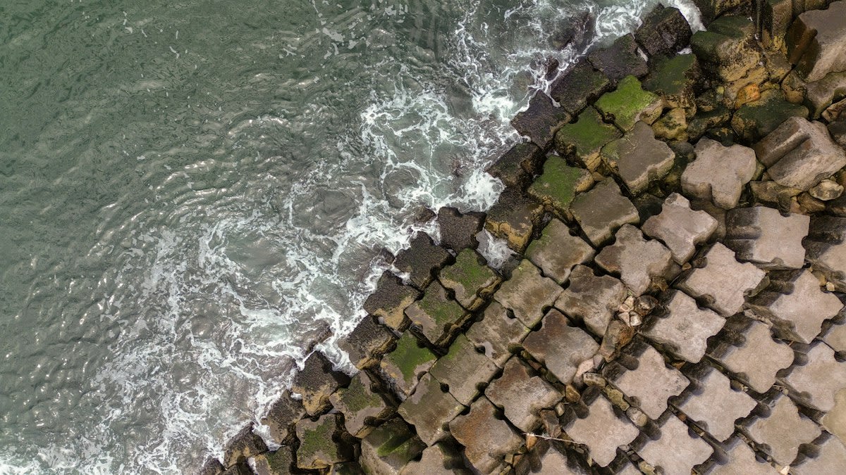
Transitioning to the coast, the strategy shifts from blocking fire to breaking waves. In New Jersey, the GBP living shoreline utilizes Concrete Oyster Reefs (CORs) to protect roughly 800 meters of salt marsh. The deployment involves 40 CORs, split between 27 interlocking hollow concrete blocks known as oyster castles and 13 shell bag reefs (Source: Frontiers in Marine Science, 2026). These blocks range from 6 to 9 meters in length, designed to dissipate kinetic energy before it reaches the fragile marsh edge.
- Site Survey: Map high-energy wave zones using data from sites like Gandys Beach to identify wave height amplification (Source: Bredes et al., 2022).
- Material Fabrication: Cast interlocking hollow concrete blocks to serve as the primary breakwater skeleton.
- Deployment: Sink the oyster castles in two specific configurations to maximize salt marsh protection.
- Biological Seeding: Integrate cured oyster, clam, and whelk shells contained in high-density polyethylene mesh to encourage biotic growth (Source: Frontiers in Marine Science, 2026).
- Monitoring: Track wave attenuation and biological colonization to ensure the reef is operational rather than just a designated zone.
Standing on the shoreline at Gandys Beach, you smell the ozone-heavy air and feel the spray of stagnant harbor water. The friction between the concrete blocks and the incoming tide is audible. This is where the theory of nature-based solutions meets the reality of salt-crusted cables and heavy machinery. The blocks are not meant to be invisible; they are designed to be aggressive, forcing the ocean to lose its momentum before it can eat the coast.
"The challenge is no longer simply announcing new protections but ensuring they are operational."— World Economic Forum, regarding the 30x30 biodiversity goals
This operational gap is the primary enemy of resilience. While governments agree to conserve 30% of marine and coastal areas by 2030 under the Kunming-Montreal Global Biodiversity Framework, the reality is stark. Only about 3.5% of the ocean is currently safeguarded at a level experts consider adequate (Source: Marine Protection Atlas, 2026). The remaining 9.8% of protected areas are often paper parks, lacking the hard concrete interventions needed to survive a high-energy storm event.
Failure Point: The Easement Trap
Most resilience projects do not fail because of the concrete; they fail because of the landowner. In New Jersey, easement acquisition has been a recurring obstacle for beach nourishment and dune projects. Federally funded projects require property interests from oceanfront owners, and unwilling landowners have historically delayed implementation until eminent domain was invoked (Source: Frontiers in Marine Science, 2026). This legal gridlock left coastlines exposed prior to Hurricane Sandy in 2012, proving that a perfect engineering plan is useless if you cannot legally place the block in the sand.
| Intervention Type | Key Metric | Primary Constraint | Source |
|---|---|---|---|
| Forest Fuel Breaks | 1,677 Acres | Permitting Red Tape | Gov. CA (2026) |
| Oyster Castles | 40 COR units | Easement Acquisition | Frontiers (2026) |
| Marine Protected Areas | 3.5% Adequate | Operational Ineffectiveness | Marine Protection Atlas (2026) |
The failure of the 30x30 goal is a mirror of this coastal struggle. At least half of existing marine protected areas remain unimplemented or operationally ineffective (Source: World Economic Forum, 2026). When a protection zone is designated without the physical hardening of the coastline or the enforcement of boundaries, it is a ghost zone. It provides no actual resilience to the biodiversity it claims to protect.
Common Pitfalls
- Ignoring wave height amplification: Deploying blocks without analyzing site-specific energy, as seen in the Gandys Beach studies (Source: Bredes et al., 2022).
- Relying on designation over operation: Assuming a 'protected area' status replaces the need for physical barriers (Source: World Economic Forum, 2026).
- Underestimating permitting lag: Failing to utilize streamlined laws like SB 1079, leading to project delays of 12+ months (Source: Governor of California, 2026).
- Neglecting biological integration: Using bare concrete instead of integrating shell bags, which reduces the long-term stability of the reef (Source: Frontiers in Marine Science, 2026).
Field Operator Warning
Verify all easement acquisitions before casting concrete. In the New Jersey corridor, failure to secure property interests has historically neutralized the impact of federally funded beach nourishment programs (Source: Frontiers in Marine Science, 2026).
Fact-Check & Accuracy Note
This guide relies on data from the Governor of California (2026), Frontiers in Marine Science (2026), and the World Economic Forum (2026). All statistics regarding the 3.5% adequate ocean protection are attributed to the Marine Protection Atlas.