NIO Goa experts identify 14 breach-prone stretches along river Godavari in Konaseema
Source Entity
India Latest News: Top National Headlines Today & Breaking News | The Hindu
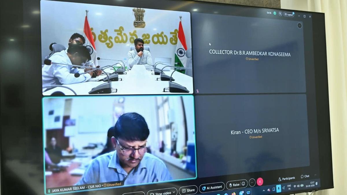
NIO Goa experts have pinpointed 14 high-risk breach locations along the Gouthami and Vasista branches of the Godavari river in Konaseema. District authorities are now preparing a Detailed Project Report to mitigate flood risks and protect local communities.
Mitigating Flood Risks in Konaseema: A Scientific Intervention
Scientific Identification of Vulnerable Zones
Experts from the National Institute of Oceanography (NIO-Goa), spearheaded by Chief Scientist Jaya Kumar Seelam, have conducted a critical hydrological assessment in the Dr. B.R. Ambedkar Konaseema district. By analyzing the structural integrity of the riverbanks along the Gouthami and Vasista branches of the Godavari, the team successfully identified 14 distinct locations highly susceptible to breaches. This scientific identification is a vital first step in transitioning from reactive disaster management to proactive infrastructure hardening.
The Hydrological Complexity of the Godavari
The Godavari, a major river system originating in Maharashtra, undergoes significant hydro-morphological changes as it approaches the Bay of Bengal. In the Konaseema and West Godavari districts, the river system bifurcates, creating a complex network of distributaries. Given that the region experiences at least two flood cycles annually, the banks are under constant hydraulic pressure. The identified 14 stretches represent areas where soil composition, flow velocity, and river curvature have likely compromised the natural defenses of the embankment.
Administrative Action and Policy Response
Following the identification of these breach-prone areas, District Collector R. Mahesh Kumar convened a high-level review meeting with revenue and water resource officials. The directive to develop a Detailed Project Report (DPR) signifies a shift toward evidence-based policymaking. By integrating scientific data from the NIO into formal government planning, the administration aims to secure the necessary funding and engineering expertise to reinforce these specific vulnerable zones before the next monsoon cycle.
Socio-Economic Implications for Local Communities
The proposed study goes beyond mere engineering; it includes a mandatory socio-economic impact assessment. This is crucial because the Godavari basin is a lifeline for local agriculture, supporting extensive crop cultivation and residential settlements. A breach in any of these 14 locations does not merely result in water overflow; it threatens the economic stability of entire villages, risks the destruction of standing crops, and places public assets in immediate jeopardy. Understanding these impacts allows for better disaster mitigation strategies, including potential evacuation planning or land-use adjustments.
Future Trends and Long-term Resilience
Moving forward, the collaboration between the NIO-Goa and the district administration sets a precedent for regional disaster management in India. As climate variability continues to influence flood patterns, relying on specialized oceanographic and hydrological expertise will become the standard for protecting riverine districts. The success of this initiative will depend on the speed of the DPR implementation and the ability of local authorities to execute structural reinforcements that can withstand the dual-flood challenges inherent to the Konaseema region.
Verification Required?