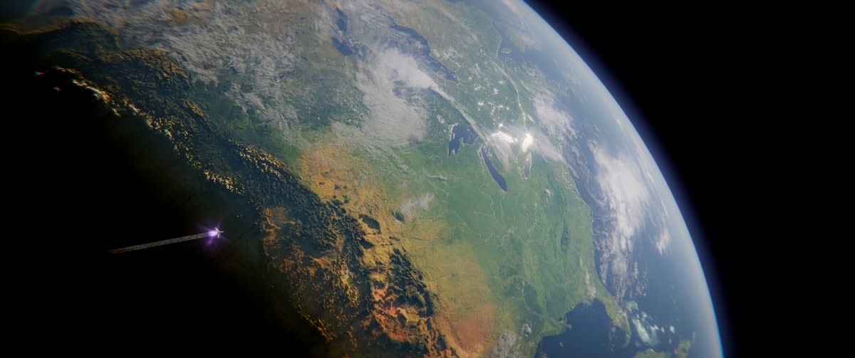
For decades, our understanding of the Earth's interior has been a game of educated guesses and expensive, high-risk drilling. We relied on seismic echoes and surface anomalies, treating the subsurface as a dark room where we could only feel the walls. But a systemic shift is underway. We are moving from a period of exploration to an era of planetary intelligence, where the goal is no longer to find a deposit by chance, but to map the gravity and composition of the crust with surgical precision. This is not just a technical upgrade; it is a geopolitical imperative.
The catalyst for this shift is the convergence of two seemingly unrelated fields: quantum gravity and AI-enhanced geophysics. While one seeks to unify Einstein's relativity with quantum mechanics, the other aims to secure the critical minerals necessary for the global energy transition. Together, they are creating a 'Gravity Map'—a high-resolution digital twin of the Earth's interior that could render traditional prospecting obsolete.
The Quantum Bridge: Proving Einstein in Free Fall
To see underground, we must first understand how gravity behaves at the smallest possible scales. For a century, physicists have debated whether Einstein's equivalence principle—the core of general relativity—holds true in the quantum realm. Recent breakthroughs have finally provided an answer. In a landmark study, physicists measured the tiny quantum shift an object acquires while falling through Earth's gravity, effectively observing an effect predicted in 1927 but never before seen (Source: Science Advances, 2026).
"The phase between the two elements of the superposition, which grows as the cube of the duration of the experiment and which was predicted a long time ago, in 1927, has now finally been observed for the first time."— Vedral, Physicist cited in Science Advances
Why does a quantum phase shift matter for mapping minerals? Because the ability to detect these infinitesimal changes allows for the creation of gravity sensors with unprecedented sensitivity. If we can measure the quantum phase of a free-falling wave packet relative to a static one, we can detect density anomalies deep underground that were previously invisible (Source: science.org, 2026). We are talking about the difference between seeing a blurry shape and seeing a high-definition blueprint.
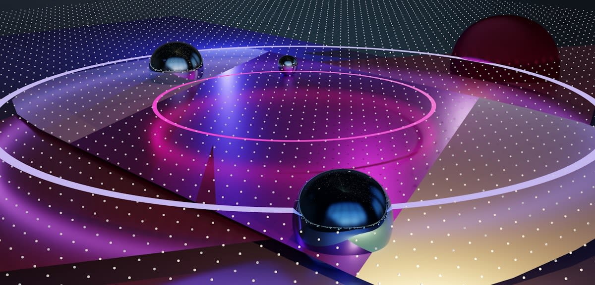
This research isn't confined to laboratories. The race has moved into orbit. A team led by Ming-Sheng Zhan at the Wuhan Institute of Physics and Mathematics has deployed atom interferometry on board the China Space Station to test the Weak Equivalence Principle (WEP) using clouds of continuously free-falling atoms (Source: Phys.org, 2026). By testing these principles in the microgravity of space, researchers are searching for subtle violations of the WEP that would provide the first concrete evidence for quantum gravity.
The Industrialization of the Subsurface
While physicists chase the unification of gravity, governments are treating the subsurface as a strategic asset. The United States, for instance, launched the Earth Mapping Resources Initiative (Earth MRI) in 2019 to modernize surface and subsurface mapping. This isn't a mere academic exercise; it is a resource grab. The Infrastructure Investment and Jobs Act of 2021 codified this initiative, authorizing $320 million in funding for the period of FY22–26 to collect geologic, geophysical, and geochemical data (Source: C2ES, 2026).
| Metric | Traditional Exploration | Planetary Intelligence Era |
|---|---|---|
| Primary Methodology | Probabilistic Drilling & Surface Sampling | Quantum Gravity & AI-Integrated Mapping |
| Data Resolution | Low (interpolated between boreholes) | High (continuous 3D/4D modeling) |
| Risk Profile | High (significant 'dry hole' rate) | Lower (deterministic targeting) |
| Core Technology | Seismic Reflection | Atom Interferometry & Machine Learning |
The integration of AI is where the raw data becomes actionable intelligence. The Critical Mineral Assessments with AI Support (CriticalMAAS) project, a collaboration between the USGS and DARPA, utilized machine learning to accelerate resource assessment workflows (Source: C2ES, 2026). Before its conclusion in January 2025, CriticalMAAS tested automated map georeferencing and the conversion of legacy geologic information into usable derivative data. This represents a shift from human-led interpretation to AI-led discovery.
This is the new standard for mineral exploration. Institutions like the Colorado School of Mines are now training a new generation of professionals to synthesize geological, geophysical, and geochemical datasets into actionable targets using 3D and 4D geological modeling (Source: Colorado School of Mines, 2026). The goal is to locate concentrations of lithium, copper, and rare earth elements not by luck, but by analyzing the integrated data signatures of complex ore systems.
The Practitioner's Friction: Data vs. Dirt
If you spend time in the field, you know that there is a visceral tension between the 'black box' analysts and the boots-on-the-ground geologists. The debate isn't about whether the data is useful, but about trust. Old-school practitioners argue that no amount of AI can replace the intuition gained from holding a rock in your hand and observing a fold in the strata. They view the push toward 'Planetary Intelligence' as a dangerous over-reliance on models that may overlook the messy, non-linear reality of geology.
However, the friction is where the innovation happens. The real-world application of these tools looks like a constant loop of calibration: the AI predicts a target, the geologist verifies the surface expression, and the quantum gravity sensor confirms the density anomaly. The practitioners who are winning are those who stop treating AI as a replacement and start treating it as a high-resolution lens. The debate has shifted from 'Does this work?' to 'How do we calibrate the model to avoid false positives in complex ultramafic terrains?'
Unlocking the Unreachable
The final piece of the puzzle is not just seeing the minerals, but retrieving them. Traditional mining is limited by the economics of moving earth. But new chemical interventions are changing the math. Recent research indicates that injecting organic molecules into underground rock formations could unlock critical mineral reserves that are currently unreachable by conventional mining methods (Source: C&EN, 2026).
This approach, specifically targeting ultramafic rocks, suggests a future where we don't dig massive open pits, but instead use 'in-situ' recovery. When combined with the Gravity Map, this creates a closed-loop system: detect the anomaly with quantum sensors, model the volume with AI, and extract the minerals via molecular injection. This is the blueprint for a more resilient, less invasive resource economy.
Strategic Insight
The shift toward subterranean intelligence is not just about efficiency; it is about sovereignty. The nations that first master the ability to 'see' and 'extract' without massive surface disruption will hold a decisive advantage in the energy transition.
Fact-Check & Accuracy Note
Key claims regarding quantum phase shifts are sourced from Science Advances (2026). Funding data for Earth MRI is attributed to C2ES (2026). Space-based WEP testing is sourced from Phys.org (2026). The use of organic molecules for mineral recovery is sourced from C&EN (2026). Ongoing debate exists regarding the scalability of in-situ recovery and the precision of quantum sensors in noisy terrestrial environments.