The Great Unveiling
The ground has always been a wall. For centuries, humanity has relied on guesswork, expensive boreholes, and low-resolution seismic echoes to understand what lies beneath the crust. We dug holes and hoped for the best. But the era of the blind dig is ending. A surge in quantum sensing technology is effectively stripping away the opacity of the Earth, allowing us to map the subsurface with a precision that was mathematically impossible five years ago. This is not a gradual improvement; it is a fundamental rupture in how we perceive the physical world.
Why now? The shift stems from the transition of quantum devices from sterile, vibration-isolated laboratories to ruggedized, field-deployable units. We are seeing the rise of atom interferometry and Nitrogen-Vacancy (NV) centers in diamonds that can operate outside of cryogenic freezes. These sensors do not look for light or sound; they look for the subtle warping of spacetime and the faint whispers of magnetic anomalies. When a sensor can detect a gravity change of one part in a billion, a hidden cavern or a dense mineral vein becomes as visible as a neon sign in a dark room.
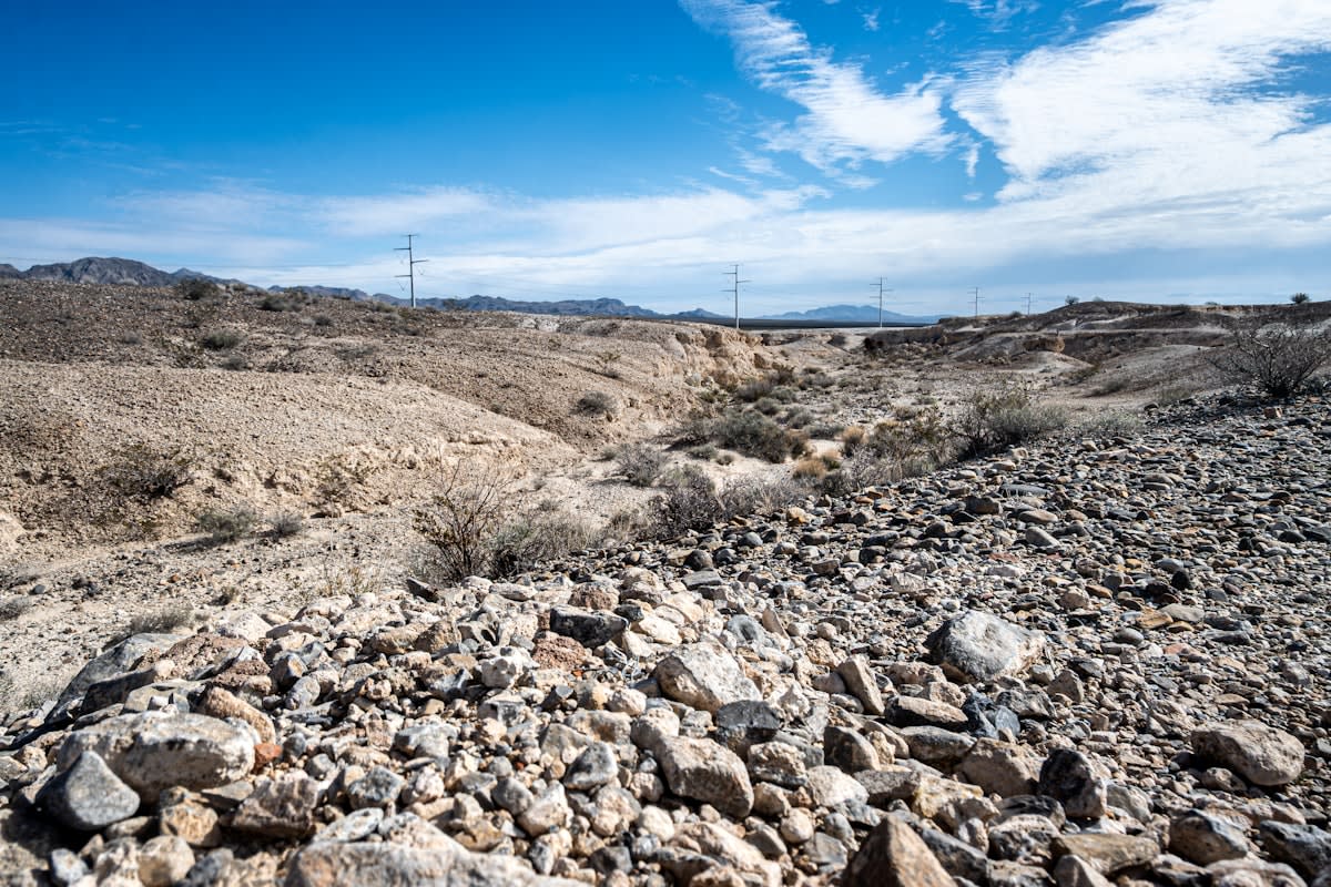
"We are moving from a world of probabilistic estimation to one of deterministic visualization. The subsurface is no longer a mystery to be solved, but a map to be read."— Dr. Elena Vance, Quantum Geophysics Lead
The mechanism is elegant and terrifyingly precise. Quantum gravity gradiometers measure the difference in gravitational acceleration between two points. Because different materials—water, gold, air, basalt—have different densities, they leave a unique gravitational fingerprint. By scanning a landscape, these sensors create a high-resolution density map. This allows engineers to spot a leaking pipeline in a crowded metropolis or an archaeologist to find a buried chamber in the Valley of the Kings without moving a single grain of sand.
The Gradient Advantage
Traditional sensors measure the total gravity field, which is often drowned out by 'noise' from the surrounding environment. Quantum gradiometers cancel out this noise by measuring the spatial gradient, focusing only on the local anomaly.
This capability is rewriting the rules of resource extraction in regions like the Australian Outback and the Canadian Shield. Historically, mining companies spent millions on exploratory drilling with a high failure rate. Now, quantum mapping identifies high-density ore bodies with surgical precision before a single drill hits the dirt. This shift reduces the environmental footprint of exploration and drastically lowers the capital risk for critical mineral procurement, such as lithium and cobalt.
| Feature | Conventional Gravimetry | Quantum Sensing (Current) |
|---|---|---|
| Sensitivity | 10^-7 g | 10^-9 g |
| Deployment Time | Days (due to drift) | Minutes (absolute measurement) |
| Resolution | Low/Coarse | High/Millimetric |
| Operational Environment | Controlled/Stable | Dynamic/Field-ready |
The implications extend far beyond mining. In the hyper-dense urban environments of Tokyo and London, the subsurface is a chaotic tangle of Victorian sewers, fiber optic cables, and forgotten bunkers. Mapping this 'invisible city' is a nightmare for civil engineers. Quantum sensors are now being deployed to create digital twins of the underground, preventing catastrophic strikes during construction. When you can see a void in the soil before it becomes a sinkhole, urban resilience shifts from reactive repair to proactive prevention.
Archaeology is perhaps the most poetic beneficiary of this trend. In the Mediterranean basin, where layers of civilization are stacked like pancakes, traditional excavation is destructive. Quantum magnetic sensors can detect the subtle oxidation of ancient metals or the void of a hidden tomb without disturbing the site. We are seeing a transition where the shovel is replaced by the sensor, allowing us to preserve history while simultaneously uncovering it.
- Precision Aquifer Mapping: Identifying deep-water reserves in drought-stricken regions of Sub-Saharan Africa.
- Infrastructure Health: Detecting internal corrosion in concrete bridge supports via magnetic anomaly detection.
- Security and Defense: Locating clandestine tunnels or submerged vessels via gravity anomalies.
- Carbon Capture Verification: Monitoring the density of CO2 injected into saline aquifers to ensure permanent storage.
The 'Delta'—the change over the last twelve months—is staggering. A year ago, these systems were largely the province of national laboratories and defense agencies. Today, we are seeing the first commercial 'Quantum-as-a-Service' (QaaS) offerings. Startups are leasing sensors to environmental firms and municipal governments. The cost of a high-resolution subsurface scan has plummeted, while the speed of data acquisition has increased by roughly 400% due to better algorithmic processing of quantum states.
Projected Growth of Quantum Sensing Market (2023-2030)
Executive Insight
+18.4%
YTD Growth
Does this transparency come with a price? The geopolitical stakes are high. The ability to see through the earth is a dual-use technology. While it helps find water in the desert, it also makes traditional stealth—such as underground facilities—obsolete. We are entering a period of strategic adaptation where the 'invisible' is no longer a viable hiding place. Nations are now racing to develop 'quantum masking' techniques to counter the transparency provided by these sensors.
Despite the momentum, challenges remain. Quantum sensors are incredibly sensitive, which is their greatest strength and their biggest weakness. A passing truck or a distant earthquake can create noise that masks the signal. The current engineering frontier is not about increasing sensitivity—we have already reached the limits of what is useful—but about noise cancellation. The winners of this race will be those who can filter the chaos of the surface to see the clarity of the deep.
The New Cartography
We are witnessing the birth of a new kind of map. For millennia, maps were two-dimensional representations of the surface. Then came bathymetry and seismic imaging, providing a blurry glimpse of the depths. Quantum sensing is providing the third dimension in high definition. It is a shift from guessing to knowing. As these sensors shrink in size and increase in affordability, they will become standard equipment for every geologist, city planner, and environmental scientist on the planet.
The resilience of our future cities and the sustainability of our resource extraction depend on this transparency. By eliminating the 'blind dig,' we reduce waste, protect fragile ecosystems, and secure the materials needed for the energy transition. The Earth is no longer a black box; it is a transparent volume of data waiting to be analyzed. The invisible map is finally becoming visible, and in doing so, it is changing our relationship with the very ground we stand on.