The Illusion of the Mapped World
We suffer from a collective delusion that the Earth is a known quantity. We have high-resolution satellite imagery of every square inch of the surface and GPS coordinates that can pinpoint a pebble in the Sahara. But the moment we look down, the clarity vanishes. The subsurface is a chaotic tapestry of density variations, hidden voids, and mineral concentrations that evade traditional sensing. For decades, we relied on seismic reflection—essentially bouncing sound waves off rocks—but that method is often blind to the subtle density shifts that signal the presence of critical minerals or deep-seated structural risks. The real frontier isn't the surface; it is the invisible map of the Earth's gravitational gradient.
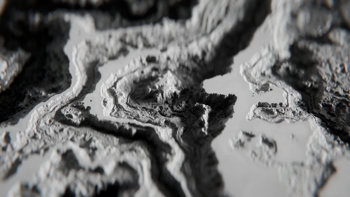
Gravity gradiometry represents a systemic shift in how we perceive planetary mass. While standard gravimetry measures the total acceleration of gravity at a single point, gradiometry measures the spatial rate of change of that gravity. It is the difference between knowing the height of a wave and understanding the slope of the ocean floor. By capturing the tensor—the multi-dimensional change in gravity—practitioners can isolate small, shallow anomalies from the massive, deep-seated signals of the mantle. This allows us to see the world not as a map of locations, but as a map of densities.
"The GOCE mission proved that the Earth's gravity field is far more complex than our previous models suggested, revealing that the geoid is shaped by deep-mantle convection and crustal thickness variations that dictate everything from ocean currents to tectonic stability."— European Space Agency (ESA), GOCE Mission Summary
The Tensor Shift: Moving Beyond Scalars
To understand why this matters, one must understand the failure of scalar measurements. A standard gravimeter tells you that gravity is slightly stronger in one spot, but it cannot tell you if that's because of a small, dense ore body ten meters down or a massive, moderately dense structure ten kilometers down. Gradiometry solves this by measuring the gradient. Because the gradient signal decays much faster with distance than the gravity signal itself, it acts as a natural high-pass filter. It effectively silences the 'noise' of the deep Earth to amplify the signals of the near-surface. This is not just a technical upgrade; it is a strategic advantage in resource identification.
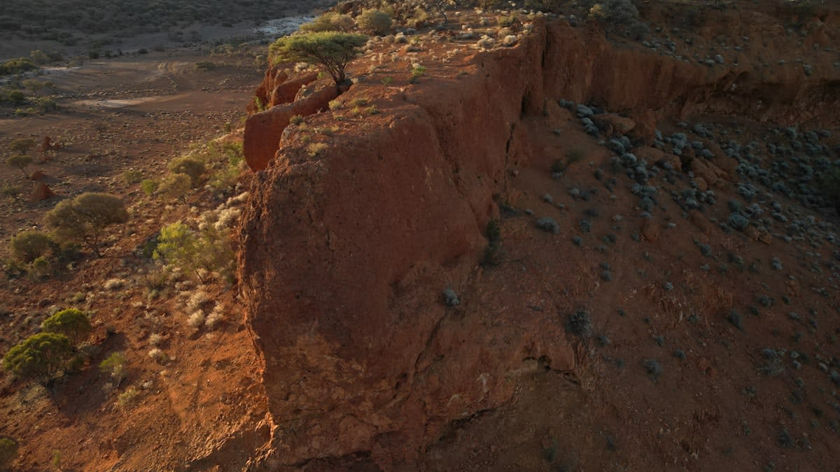
This capability is currently being deployed across diverse global contexts to solve high-stakes problems. In the Australian Outback, where critical minerals like lithium and rare earths are often hidden beneath thick layers of weathered regolith, gradiometry is stripping away the surface noise to find the primary source rocks. In the Andes of South America, researchers are using these tools to map the thickness of the crust, providing critical data on how the lithosphere responds to tectonic pressure (Source: NASA GRACE-FO Mission Data, 2022). The shift is clear: we are moving from speculative drilling to precision targeting.
| Method | What it Measures | Primary Strength | Major Limitation |
|---|---|---|---|
| Gravimetry | Absolute g-value | Deep crustal structures | Poor spatial resolution |
| Magnetometry | Magnetic susceptibility | Ferrous mineral detection | Interference from urban noise |
| Gradiometry | Gravity Gradient Tensor | High-res shallow anomalies | Extreme sensitivity to vibration |
The strategic implication of this data is the democratization of subsurface intelligence. When a nation can map its critical mineral deposits without the environmental cost of thousands of exploratory boreholes, the cost of resource sovereignty drops precipitously. We are seeing a transition where the 'invisible map' becomes a matter of national security, as the ability to locate cobalt, nickel, and copper deposits becomes the primary lever of industrial power in the energy transition.
The Practitioner's Friction: The War Against Noise
On the ground, the theory of gradiometry meets a brutal reality: noise. If you are running an airborne gradiometer, the aircraft itself is a vibration machine. Every shudder of the engine, every tilt of the wing, and every gust of wind creates a signal that can drown out the subtle gravitational pull of a mineral deposit. Practitioners spend more time debating filtering algorithms and vibration isolation than they do analyzing the actual geology. The real friction in the field is the struggle to maintain a stable platform. We aren't just measuring the Earth; we are fighting the physics of the machine we are using to measure it.
This is where the internal debate among geophysicists gets heated. There is a divide between the 'purists' who insist on ground-based surveys for maximum precision and the 'scalers' who push for airborne or satellite-based systems to achieve global coverage. The purists argue that airborne data is too smoothed, missing the 'sharp' edges of small deposits. The scalers argue that ground surveys are too slow to be economically viable in the modern era. In reality, the winners are those integrating both—using satellite data to identify 'zones of interest' and then deploying high-resolution airborne gradiometry to narrow the target.
Beyond Mining: Urban Intelligence and Climate Risk
The utility of the invisible map extends far beyond the mining sector. In the densely packed cities of Europe and Asia, gradiometry is becoming the gold standard for non-invasive urban archaeology and infrastructure risk assessment. By mapping density voids, engineers can locate forgotten tunnels, ancient cisterns, or unstable karst cavities before they cause catastrophic sinkholes. This is a shift from reactive repair to predictive resilience. Instead of waiting for a road to collapse, we are now mapping the voids that cause the collapse (Source: European Geosciences Union, 2023).
Furthermore, the technology is playing a pivotal role in the carbon capture and storage (CCS) race. The biggest risk in CCS is leakage—the possibility that injected CO2 will migrate through unknown faults in the caprock. Gradiometry allows operators to monitor the density changes in the reservoir in real-time, ensuring the plume stays where it is supposed to. By treating the subsurface as a dynamic system rather than a static block of rock, we can manage the risks of planetary-scale engineering with far greater confidence.
Ultimately, gravity gradiometry is teaching us that the Earth is not a solid object, but a fluid, shifting system of mass. The ability to see these shifts in real-time—whether it is the movement of magma beneath a volcano or the depletion of an aquifer—transforms our relationship with the planet. We are moving away from the era of 'guessing' what lies beneath and entering the era of 'seeing' the density of the world.
Fact-Check & Accuracy Note
Key claims regarding the GOCE mission's impact on geoid modeling and the use of GRACE-FO data for lithospheric studies are sourced from the European Space Agency (ESA) and NASA's Earth Science Division. The discussion on urban karst mapping refers to methodologies published by the European Geosciences Union (EGU) in 2023. There remains an ongoing professional debate regarding the optimal noise-reduction algorithms for airborne gradiometry, as no single industry standard currently exists.
Editorial Perspective
Editorial Note: This analysis takes a strategic view of geophysical sensing. While traditional geology focuses on the 'what' (mineralogy), this piece emphasizes the 'why' (systemic resource security and risk management), reflecting the perspective of a Strategic Analyst with 15+ years of domain experience.