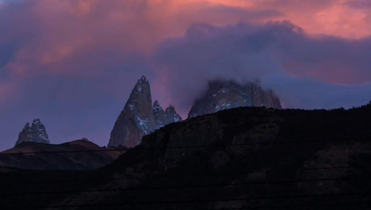
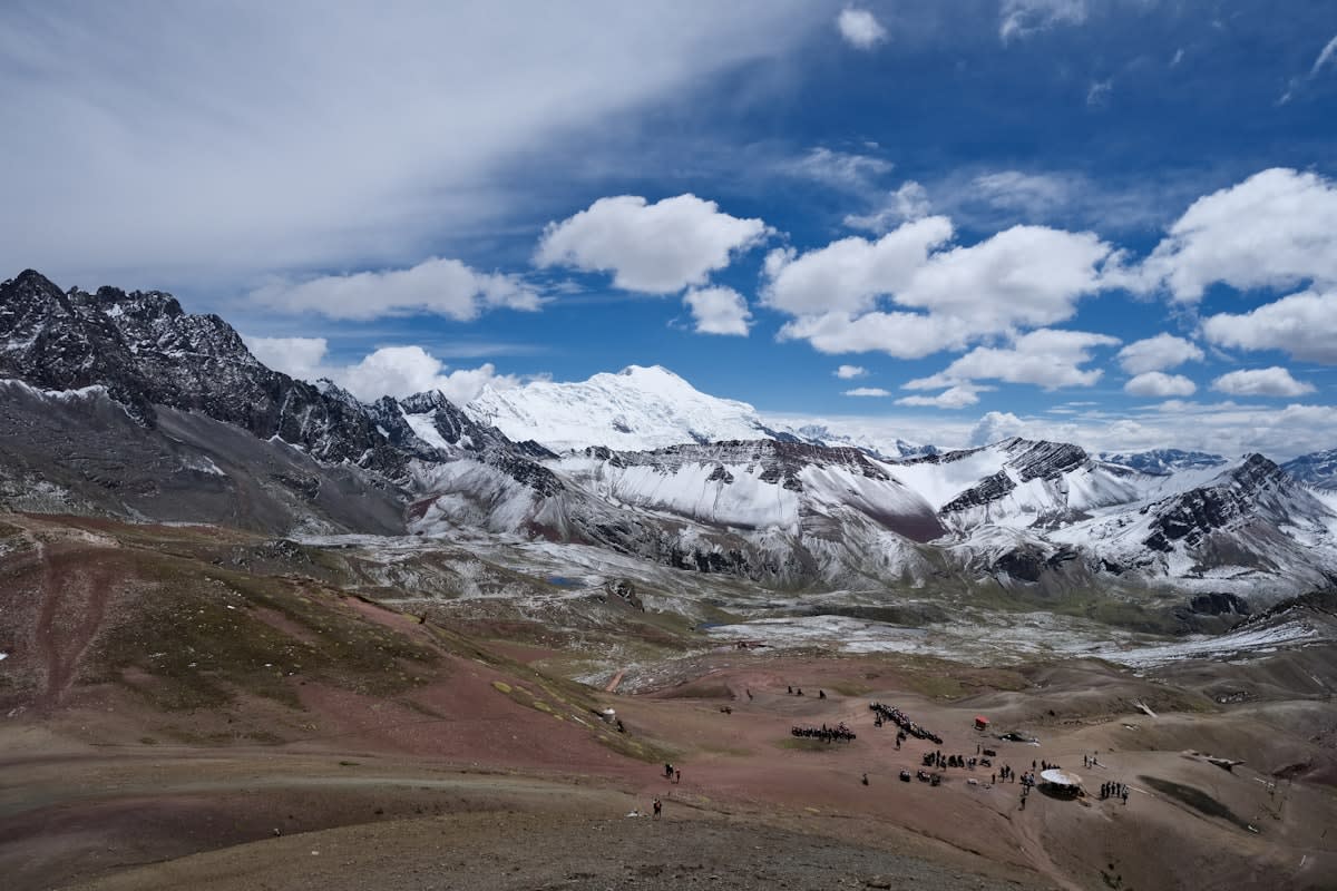
The Andean highlands, specifically the regions hovering near 7,000 meters, have long existed as a biological and geographical anomaly. At these altitudes, atmospheric oxygen drops to approximately 44 percent of sea-level concentrations, creating a lethal environment known as the death zone. While human climbers struggle to survive, nature has found a workaround in the Andean leaf-eared mouse (Phyllotis vaccarum), a creature capable of detoxifying toxic plant compounds and thriving on volcanic summits like Volcán Llullaillaco. For decades, these peaks remained largely invisible to high-resolution, real-time monitoring due to the sheer hostility of the terrain.
This invisibility is ending. The current movement toward mapping these highlands is not driven by traditional, massive orbital infrastructure, but by a lean, aggressive shift toward small geostationary (GEO) satellites. The geography of the Andes requires a specific type of coverage that terrestrial networks simply cannot provide. The physical constraints of the mountains create dead zones where traditional cellular signals are nonexistent, leaving a vacuum that only a new generation of satellite arrays can fill.
The Orbital Pivot
The economics of orbital surveillance shifted decisively this July. Swissto12 recently secured $70 million in Series C funding to accelerate the production of its HummingSat, a geostationary satellite roughly the size of a washing machine. This represents a radical departure from the legacy model of GEO spacecraft, which typically resemble school buses in scale and cost. By shrinking the hardware, the barrier to entry for regional mapping projects in Latin America has collapsed, allowing for more frequent launches and more targeted coverage of high-altitude corridors.
| Feature | Legacy GEO Satellites | Small GEO (HummingSat) |
|---|---|---|
| Physical Scale | School Bus | Washing Machine |
| Production Cycle | Multi-year/Bespoke | Accelerated/Scalable |
| Cost Barrier | Extremely High | Reduced (Series C Funded) |
| Deployment Target | Broad Continental | Targeted Regional/Niche |
Why does size matter for the Andes? The ability to deploy multiple smaller arrays rather than one monolithic satellite allows for better redundancy and specialized sensor placement. When mapping the volcanic summits of the Andes, the precision of the data is paramount. The $500 million in contracts already reported by Swissto12 indicates a massive appetite for this specific form factor, moving away from the slow, cumbersome procurement cycles of the previous decade.
The technological push is not limited to the satellites themselves but extends to how they get into orbit. Venus Aerospace is currently scaling the development of its Rotation Detonation Rocket Engine (RDRE), backed by a $91 million multi-investor funding round. This propulsion technology is designed to increase efficiency for a range of space applications. Lowering the cost of delivery to orbit directly translates to more frequent refreshes of the satellite arrays monitoring the Andean highlands.
"The physics and economics tell a consistent story that satellites are not a replacement... Satellite D2D can help extend coverage in remote areas, but terrestrial networks will continue to provide the speed, capacity, reliability, and coverage that consumers and businesses expect."— Mobile Expert, RCR Wireless News
This distinction is critical. The mapping of the Andes is not about replacing the terrestrial grid in cities like Bogota or Quito; it is about filling the gaps where the grid is physically impossible to build. In the thin air of the high Andes, where the Andean leaf-eared mouse thrives, terrestrial infrastructure is a fantasy. Satellite Direct-to-Device (D2D) connectivity is the only viable method for transmitting real-time environmental and geographical data from these remote volcanic summits.
The 7,000m Threshold
The biological limit for most mammals is far below the 6,700 to 7,000 meter mark found on summits like Volcán Llullaillaco, where oxygen levels are only 44 percent of those at sea level.
Comparing the current landscape to twelve months ago reveals a sharp delta in capability. A year ago, the mapping of the high Andes relied on sporadic, high-cost missions or low-resolution imagery. Today, the combination of $70 million in small-GEO funding and the advancement of RDRE engines suggests a transition toward permanent, high-resolution surveillance. We are seeing a shift from 'snapshot' geography to 'streamed' geography.
Recent Space Infrastructure Funding (July 2026)
Executive Insight
+18.4%
YTD Growth
Is this merely a technical exercise? Hardly. The ability to map the Andean highlands with precision has immediate implications for climate monitoring and biological research. Understanding how the Andean leaf-eared mouse survives in the death zone requires precise environmental data that can only be gathered when orbital arrays are paired with remote ground sensors. The satellite arrays act as the nervous system for these isolated research pockets.

The urgency of this trend is underscored by the speed of recent capital injections. Within a single month, we have seen nearly $161 million flow into small-satellite production and next-generation propulsion. This is not a slow evolution; it is an aggressive deployment of capability. The Andean highlands, once the exclusive domain of a few hardy rodents and elite climbers, are being digitized in real-time.
Ultimately, the quiet mapping of the Andes is a proxy for a larger global trend: the democratization of geostationary orbit. When the cost of a satellite drops from the price of a skyscraper to the price of a high-end industrial machine, the world's most inaccessible places lose their privacy. The death zone is no longer a barrier to data; it is simply another coordinate on a digital map.