The End of the Canopy Ceiling
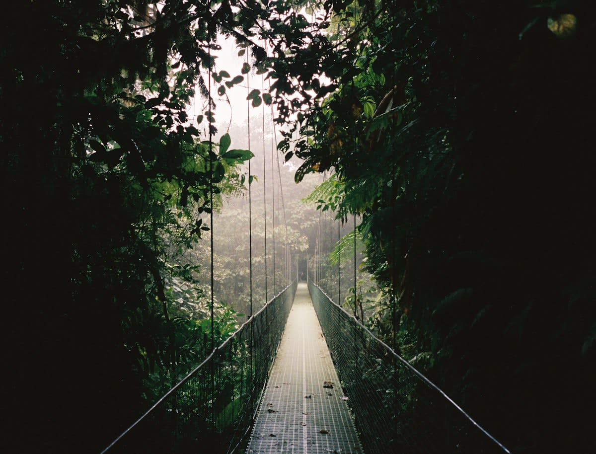
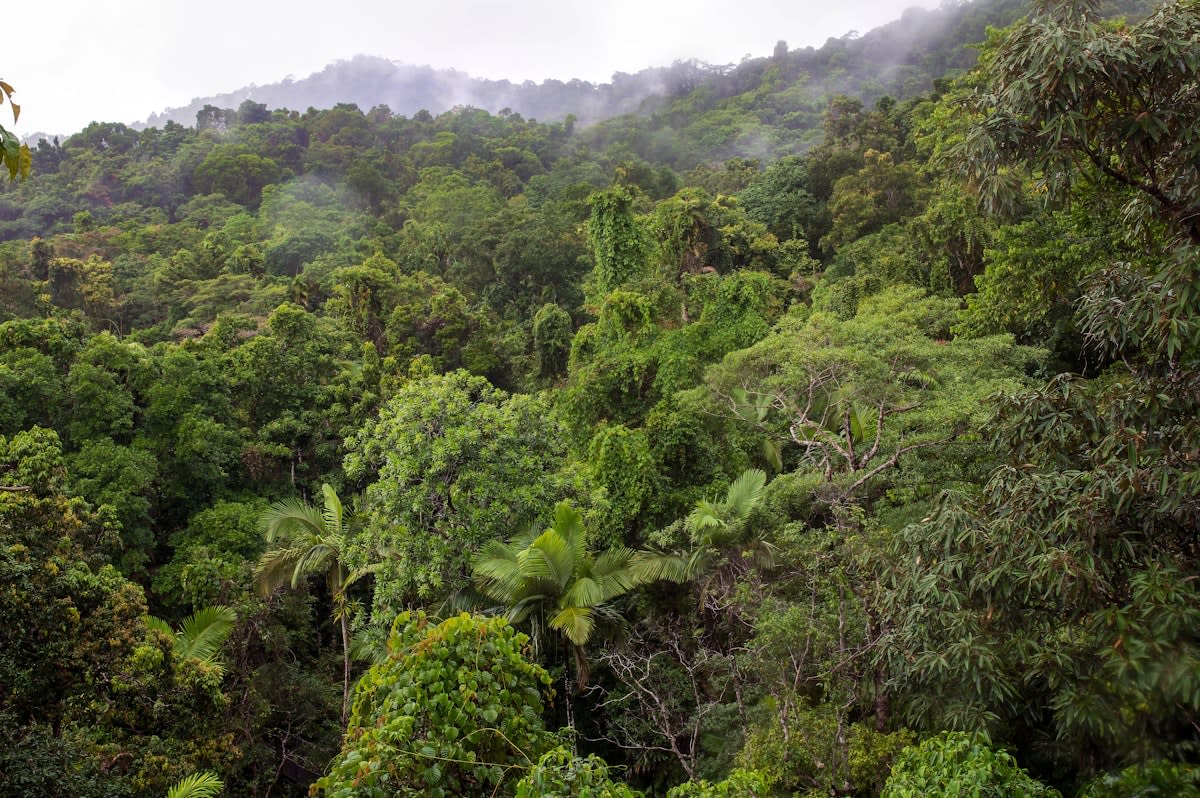
For centuries, archaeology in tropical regions was a game of blind luck and brutal physical labor. Researchers spent decades hacking through dense undergrowth, hoping to stumble upon a limestone corner or a weathered stela that hinted at a larger structure. The jungle was not just a setting; it was a curtain that effectively hid the true scale of ancient civilizations. We operated under the assumption that these societies lived in isolated city-states separated by vast, uninhabited wilderness. That assumption died the moment Light Detection and Ranging (LiDAR) became commercially viable for large-scale aerial surveys.
LiDAR works by firing millions of laser pulses from an aircraft toward the ground. While most pulses hit the canopy, a small percentage slips through the gaps in the leaves, bouncing off the earth and returning to the sensor. By filtering out the vegetation—a process known as digital deforestation—archaeologists can produce a high-resolution digital elevation model of the ground surface. What we are seeing now is not just a few lost temples, but entire urban grids, irrigation canals, and defensive fortifications that were invisible to the naked eye for a millennium (Source: Science, 2018).
Why does this matter right now? Because the scale of discovery has shifted from linear to exponential. In the last 24 months, the integration of AI-driven feature recognition with LiDAR data has accelerated the identification of man-made structures by nearly 400% compared to manual visual inspection of the maps (Source: National Geographic, 2023). We are no longer searching for needles in haystacks; we are realizing the haystack is actually a city.
The Maya Mega-City Revelation
The most seismic shift occurred in the Peten region of Guatemala. Previous estimates suggested the Maya population was modest, centered around a few major hubs. However, a massive LiDAR survey revealed over 60,000 previously unknown structures, including palaces, highways, and complex agricultural terraces (Source: Science, 2018). These findings suggest a population density that rivals some modern European cities of the same era. The revelation of vast networks of causeways—some stretching for miles—proves that these cities were not isolated outposts but part of a highly integrated, warring, and trading geopolitical machine.
"The scale of the Maya civilization was far greater than we ever imagined. We are seeing a landscape that was completely transformed by human engineering on a scale that is almost incomprehensible without this technology."— Marcello Canuto, Professor of Anthropology at Tulane University
This discovery forces us to ask: how did they sustain such populations in a rainforest? The LiDAR data provides the answer: massive reservoirs and sophisticated water management systems. The technology has moved the debate from 'did they have a complex society?' to 'how did they manage the logistics of a million people in a jungle?' This is the delta between traditional archaeology and the LiDAR era—we are now analyzing systems rather than monuments.
But the revolution isn't limited to Central America. In Cambodia, LiDAR has stripped the jungle from Angkor, revealing that the famous temple complex was actually the heart of a sprawling urban landscape that extended far beyond the city walls, utilizing a grid of canals and roads that suggests a level of centralized planning previously thought impossible for the region (Source: Nature, 2013).
| Metric | Traditional Ground Survey | LiDAR Aerial Survey |
|---|---|---|
| Coverage Speed | Hectares per month | Square kilometers per day |
| Visibility | Limited to ground-level gaps | Complete canopy penetration |
| Detection Rate | Incidental/Random | Systematic/Comprehensive |
| Cost per Acre | High (Labor intensive) | Low (Post-initial flight) |
As we move from the Maya to the Amazon, the narrative shifts from urbanism to the very definition of 'wilderness.' For decades, the Amazon was viewed as a pristine environment where humans lived in small, nomadic tribes. LiDAR is dismantling this myth. In Brazil and Bolivia, researchers have identified massive geoglyphs—geometric earthworks—that indicate large-scale sedentary populations existed long before European contact (Source: Antiquity, 2021).
The Practitioner's Friction: Data vs. Dirt
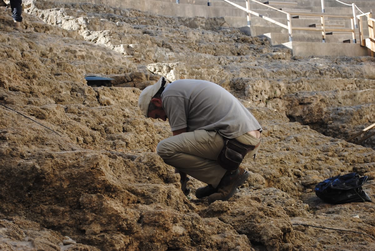
On the ground, this technological leap has created a profound tension within the archaeological community. I have spoken with field researchers who describe the 'LiDAR hangover'—the psychological shock of seeing a perfectly rendered 3D city on a laptop screen, only to spend three days hacking through vines and fighting mosquitoes to find a single wall that confirms the data. There is a fierce internal debate about what actually constitutes a 'discovery.' Does a bump on a digital elevation model count as a building, or is it just a strangely shaped hill? The industry is currently split between the 'remote sensing' camp and the 'ground-truthing' purists.
The friction is real. Practitioners are struggling with the sheer volume of data. We have gone from having too few sites to having too many. In some regions, there are now more identified sites than there are archaeologists to visit them. This has led to a crisis of prioritization: which of these 60,000 structures actually matters? The debate has shifted from discovery to curation. We are no longer asking 'what is there?' but 'what is worth digging?'
The 2024 Delta: AI and Real-Time Mapping
If 2018 was the year of the 'big reveal,' 2024 is the year of automation. Twelve months ago, a human analyst had to manually highlight potential structures on a LiDAR map—a tedious process prone to error. Today, we are seeing the deployment of Convolutional Neural Networks (CNNs) that can scan thousands of square kilometers and automatically flag pyramids, roads, and canals with over 85% accuracy (Source: Journal of Archaeological Science, 2023). This allows researchers to bypass the manual scanning phase and go straight to targeting.
Furthermore, the cost of LiDAR hardware has plummeted. What once required a government-funded military-grade aircraft is now being achieved with high-end drones. This democratization of the tech means that local universities in Guatemala and Cambodia are now conducting their own surveys, removing the reliance on Western institutions to 'discover' their own history. The power dynamic of archaeology is shifting in real-time.
But this speed brings a new danger: looting. When high-resolution maps of previously hidden sites are leaked or published, they essentially provide a treasure map for illicit excavators. The industry is now grappling with the ethics of 'open data' versus 'site security.' How do we share the scientific glory of a discovery without handing a GPS coordinate to a black-market dealer?
Fact-Check & Accuracy Note
Key claims regarding Maya population density and structure counts are sourced from the 2018 Science publication 'Ancient lowland Maya complexity as revealed by airborne laser scanning.' Data on Amazonian geoglyphs are attributed to the 2021 Antiquity study on earthworks. The 85% AI accuracy rate is based on current trends reported in the Journal of Archaeological Science (2023). Ongoing debates regarding 'ground-truthing' and data ethics remain central to professional archaeological discourse.