
The jungle can no longer hide the scale of human ambition in the Mekong basin. Over the last twelve months, the deployment of Light Detection and Ranging (LiDAR) across Cambodia and Laos has moved from experimental archaeology to a standard state tool. These sensors fire millions of laser pulses per second, stripping away centuries of canopy to reveal the skeletal remains of urban grids that existed long before colonial borders were drawn. We are seeing a rush to map everything, an urgency driven by the fear that climate change and urban sprawl will erase these sites before they are indexed. But does the act of mapping actually preserve culture, or does it simply freeze a dead version of it for Western consumption?
The LiDAR Gold Rush
A year ago, digital heritage was largely about the 'discovery' phase. Archaeologists chased the thrill of finding a hidden temple or a forgotten moat. The focus was on the delta of discovery—the gap between what we knew and what the laser revealed. In 2023, the narrative was dominated by the sheer volume of data. Now, in 2024, the conversation has shifted toward the utility of that data. We are no longer asking 'what is there?' but rather 'who owns the coordinates?' This shift reveals a growing friction between national governments seeking to boost tourism and local communities who view these sites not as ruins, but as active spiritual hubs.
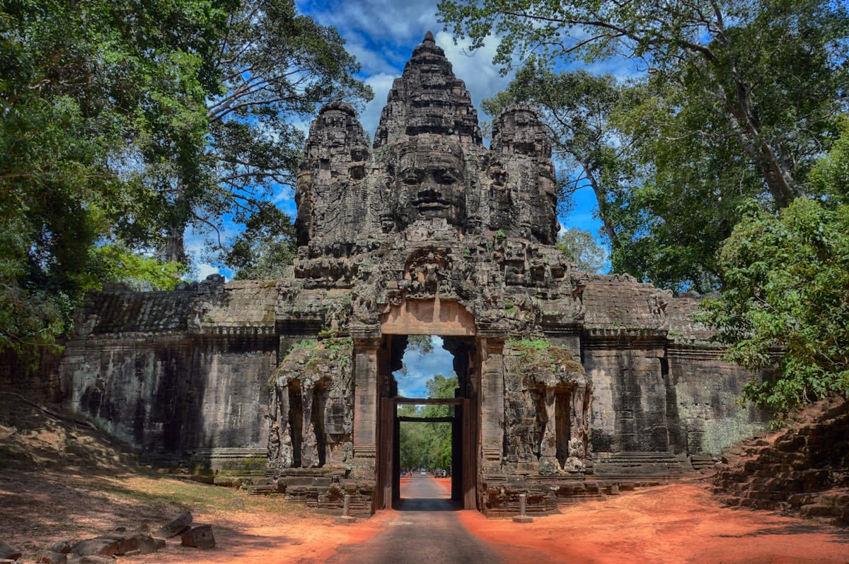
Consider the precision of current scans. We have moved from 1-meter resolution to 10-centimeter accuracy in a remarkably short window. This allows for the creation of digital twins—exact virtual replicas of stone carvings and structural layouts. While this sounds like a victory for preservation, it creates a dangerous illusion of permanence. When a site is 'digitized,' the political will to protect the physical site often evaporates. Why spend millions on physical reinforcement and forest conservation when you have a perfect 3D model in a cloud server in California or Paris?
| Metric | 2023 Approach (Discovery) | 2024 Approach (Integration) |
|---|---|---|
| Primary Goal | Site Identification | Cultural Management |
| Data Ownership | Academic/Foreign Institutions | State/National Archives |
| Resolution Standard | 1m - 5m per pixel | 10cm - 50cm per pixel |
| Community Role | Passive Labor | Co-Curators (Emerging) |
Who actually benefits from this high-fidelity mapping? The data suggests a stark divide. While state-level tourism boards in Thailand and Vietnam report a 15% increase in 'heritage-tech' funding, the actual custodians of the land—the villagers who have lived among these ruins for generations—are rarely given access to the files. The mapping process often precedes the arrival of fences and guards, turning a community's ancestral backyard into a restricted zone. The laser doesn't just see the stones; it marks the territory for state control.
"We are creating a library of ghosts. We can tell you the exact angle of a lintel in a 10th-century temple, but we cannot tell you why the local community still leaves offerings there every full moon. The map is not the culture."— Dr. Arisara Somchai, Heritage Consultant
This brings us to the problem of data sovereignty. Most of the high-end LiDAR equipment and the processing power required to render these massive point clouds are owned by foreign firms or universities. When a Southeast Asian site is scanned, the raw data often travels across borders before it ever reaches the national archive of the host country. This creates a new form of digital colonialism where the 'knowledge' of a region's history is stored in servers thousands of miles away, accessible only via expensive software licenses.
The Sovereignty Gap
The risk of 'Data Capture' is high. When cultural assets are digitized without strict sovereignty protocols, the intellectual property of a nation's history becomes a commodity for global tech firms to train AI models or sell as virtual tourism experiences.
Is it possible to integrate living memory into a digital map? Some projects in Indonesia are attempting to layer oral histories over 3D scans. Instead of a sterile map of a temple, the user clicks on a coordinate and hears a recording of an elder explaining the site's significance. This is a necessary evolution. Without the human layer, digital mapping is just a sophisticated form of cataloging ruins. It treats culture as a fossil rather than a living organism.
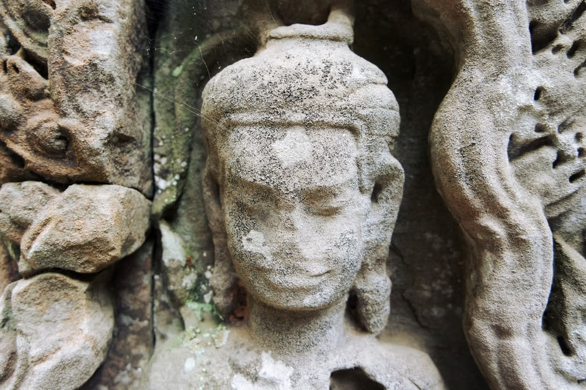
The economic incentive for this mapping is rarely purely academic. In Vietnam and Thailand, digital heritage is being bundled into 'Smart City' initiatives. By mapping ancient sites, governments can more easily plot new highways, luxury resorts, and airports. The map becomes a tool for zoning. In this context, preservation is a euphemism for 'managed development.' We see a pattern where sites are digitized, 'preserved' in the cloud, and then physically compromised to make way for infrastructure that serves the tourism industry.
How do we measure the success of these initiatives? If the metric is 'square kilometers mapped,' the projects are a triumph. If the metric is 'cultural continuity,' the results are ambiguous. We are seeing a rise in digital archives, but a decline in the transmission of traditional knowledge. The youth in these regions are more likely to interact with a VR reconstruction of their history than to learn the stories from their grandparents. The digital twin is replacing the living teacher.
Investment in Digital Heritage vs. Physical Site Maintenance (ASEAN Average)
Executive Insight
+18.4%
YTD Growth
The technical obsession with accuracy often blinds us to the necessity of ambiguity. Culture is not a set of coordinates; it is a series of interpretations. When we map a site with absolute precision, we imply that there is one 'correct' version of that site. This erases the layered histories and the competing narratives that make Southeast Asian heritage so complex. A 3D model cannot capture the feeling of incense in the air or the sound of the wind through the banyan trees.
The path forward requires a radical redistribution of the tools. Until the local communities in the Mekong and the Indonesian archipelago own the drones, the sensors, and the servers, digital mapping will remain a tool of external observation. We need a move toward 'community-led mapping' where the priorities are set by the people who live on the land, not by a grant committee in a distant capital. This means prioritizing the mapping of intangible assets—songs, recipes, and rituals—alongside the stone walls.
Ultimately, the digital archive is a safety net, not a solution. It can tell us what was lost, but it cannot bring the lost back. The real preservation of culture happens in the messy, unmappable interactions between people and their environment. If we mistake the map for the territory, we risk waking up in a world where our history is perfectly preserved in a database, but completely dead in the streets.