Camp Pendleton Henderson Fire: Map, evacuation updates as blaze threatens structures in San Diego County
Source Entity
Latest News: Todays Latest News Headlines from India & World | Hindustan Times | Hindustan Times
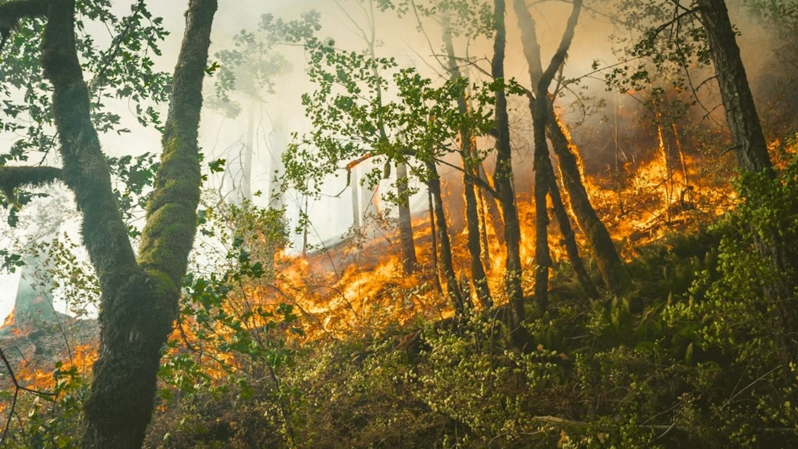
Emergency responders are managing active wildfires in California, including the Cornell Fire in Santa Paula and the larger Henderson Fire near Camp Pendleton. Both incidents have triggered urgent evacuation warnings and shelter-in-place orders as crews work to contain the blazes.
California Wildfire Emergency: Cornell and Henderson Fires
Overview of Recent Fire Activity
On October 16, California emergency services were stretched thin as multiple vegetation fires broke out across the state. The Cornell Fire in Ventura County and the Henderson Fire near the Camp Pendleton military base in San Diego County represent the latest challenges in a region perpetually susceptible to volatile fire conditions. These incidents highlight the ongoing risk posed by heavy vegetation and shifting environmental factors during the autumn months.
The Cornell Fire: Santa Paula Response
The Cornell Fire, while currently limited to approximately 0.23 acres, has triggered immediate safety protocols due to its location. Authorities have issued an evacuation warning for the Santa Paula 19 zone and a shelter-in-place order for the Todd Rd. 01 area. Although initial reports from Incident Command indicated that no structures were immediately threatened, the rapid deployment of these safety orders underscores the proactive stance taken by local fire officials to prevent escalation in a high-risk landscape.
The Henderson Fire: Escalation at Camp Pendleton
In contrast to the smaller Cornell incident, the Henderson Fire near Camp Pendleton has demonstrated significant growth, expanding to an estimated 100 to 150 acres. Situated near the base’s 43 Area, specifically the intersection of Basilone and Las Pulgas Roads, the fire poses a direct threat to infrastructure. The situation is compounded by reported power outages in the Las Pulgas area, which complicates both civilian safety and emergency operations.
Environmental Drivers and Tactical Challenges
Both fires are being influenced by windy conditions, which serve as a primary accelerant for wildfire spread. Air Attack units assessing the Henderson Fire have warned that the blaze could potentially reach 500 acres if left unchecked. The combination of heavy vegetation and high-wind environments creates a dangerous scenario where containment efforts must be both rapid and aggressive to protect both military assets and civilian populations.
The Role of Real-Time Monitoring
These events demonstrate the critical importance of digital monitoring platforms like Watch Duty in modern emergency management. By providing real-time updates and mapping, these tools allow for the precise dissemination of evacuation orders and shelter-in-place directives. As fire crews from the Camp Pendleton Fire Department and local Ventura agencies continue their work, the integration of real-time data remains a linchpin in ensuring public safety.
Future Outlook and Conclusion
As California continues to navigate its wildfire season, the primary concern remains the containment of these active fronts. The potential for the Henderson Fire to triple in size is a stark reminder of the unpredictability of these events. Authorities will likely maintain high alert levels, focusing on perimeter control and the protection of threatened structures until weather conditions stabilize and containment lines are firmly established.
Verification Required?