Air quality management body to re-test burnt area protocol as satellite, ground data diverge
Source Entity
Nikhil Ghanekar
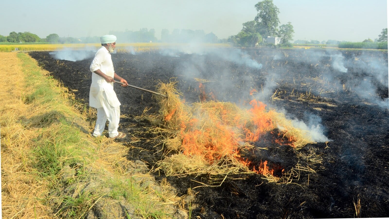
The Commission for Air Quality Management is re-evaluating its crop burning assessment protocol due to discrepancies between satellite data and ground-level verification. A joint effort with ISRO's National Remote Sensing Centre is underway to ensure accurate monitoring for the upcoming harvest season.
Addressing Discrepancies in Air Quality Monitoring
The Commission for Air Quality Management (CAQM) is currently facing a critical technical challenge regarding its methodology for tracking paddy stubble burning in the Delhi-NCR region. As the primary body tasked with curbing seasonal air pollution, the CAQM relies on data to implement effective policies. However, a significant divergence has emerged between satellite-based imagery and on-ground verification efforts in Punjab and Haryana, complicating the assessment of how much land is affected by agricultural fires during the crucial September 15 to November 30 window.
The Role of Satellite and Ground-Level Data
Satellite monitoring has long been the standard for tracking large-scale environmental changes, providing broad coverage that ground teams cannot achieve. Yet, the current situation highlights the limitations of remote sensing when it lacks robust ground-truth validation. The CAQM’s 'burnt area' assessment protocol, which is designed to quantify the extent of stubble burning, is now under scrutiny precisely because the technological readings do not align with the physical realities observed by field teams. This gap risks undermining the credibility of pollution mitigation strategies if the data inputs are not perfectly synchronized.
Strategic Collaboration with ISRO
To resolve these inconsistencies, the CAQM has initiated a collaborative effort with the National Remote Sensing Centre (NRSC), a specialized wing of the Indian Space Research Organisation (ISRO). This partnership is essential for calibrating the protocol to be more reflective of on-ground conditions. By leveraging the technical expertise of India's premier space agency, the CAQM aims to refine its sensors and verification algorithms, ensuring that future data can be used as a reliable basis for administrative action against illegal crop residue burning.
Implications for Delhi-NCR Air Quality
Stubble burning remains a primary driver of the severe air quality degradation that plagues the Delhi-NCR region annually. Because the period between mid-September and late November is critical for the Kharif harvest, the accuracy of burning data is not merely an academic concern but a public health imperative. If the protocol remains unvalidated, the CAQM cannot effectively target its interventions or hold responsible parties accountable, potentially leading to continued seasonal smog episodes that impact millions of residents.
Future Outlook and Policy Refinement
Looking ahead, the upcoming Kharif harvest season will serve as a pilot phase for the re-tested protocol. Success in this endeavor will allow for a more nuanced approach to air quality management, moving away from potentially skewed satellite readings toward a more integrated, hybrid monitoring model. As the CAQM continues to navigate these technical hurdles, the ultimate success of their mission will depend on the ability to translate accurate, verified data into actionable, field-level policy changes that finally mitigate the impact of agricultural fires on the national capital's air quality.