Cyclone Akvan to bring light rainfall to parts of coastal T.N. on November 17
Source Entity
India Latest News: Top National Headlines Today & Breaking News | The Hindu
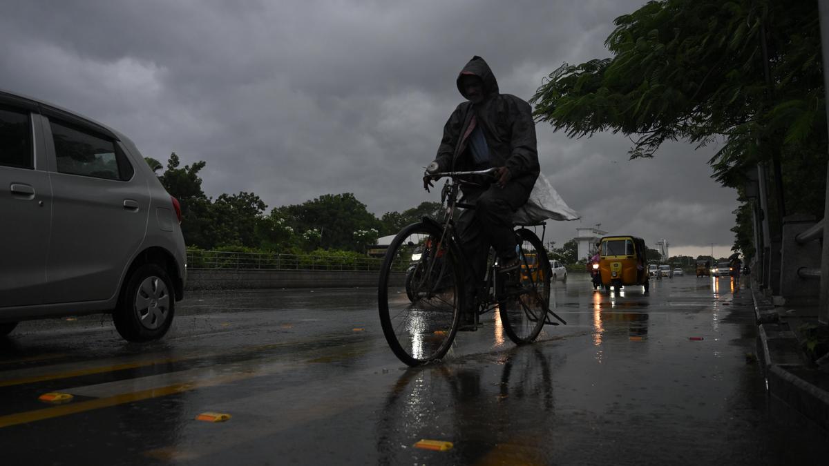
The India Meteorological Department has issued warnings for Cyclone 'Akvan', a developing storm in the Bay of Bengal expected to bring heavy rain to South Bengal and coastal Andhra Pradesh. The system is projected to intensify into a severe cyclonic storm, impacting multiple states between November 19 and 21.
Cyclone Akvan: A Developing Threat to the Bay of Bengal
The Meteorological Outlook
The India Meteorological Department (IMD) has issued a significant weather alert regarding a developing deep depression over the southeast and adjoining southwest Bay of Bengal. As of November 16, 2026, this system is on a trajectory to intensify into a cyclonic storm and eventually a severe cyclonic storm. The storm, identified as Cyclone 'Akvan', is currently moving in a north-northwestward direction, posing a multi-state threat that requires urgent attention from disaster management authorities.
Impact on West Bengal
For the state of West Bengal, the IMD has forecasted heavy rainfall beginning November 19 and lasting through November 21. The districts of South 24 Parganas, Purba Medinipur, Paschim Medinipur, and Jhargram are specifically identified as being at high risk. Furthermore, the state capital of Kolkata, along with Howrah and Hooghly, should expect thunderstorms and gusty winds, which typically accompany such cyclonic systems and often lead to urban waterlogging and infrastructure stress.
Regional Consequences and Coastal Risks
While South Bengal braces for the storm's arrival later in the week, the immediate path of the system is directed toward the Andhra Pradesh coast. This event marks a period of extreme vulnerability for the region, as it represents the third severe weather system to impact the area within a three-week window. Such rapid succession of cyclonic activity significantly increases the risks of flooding and agricultural damage, as the ground remains saturated from previous events.
Tamil Nadu and Neighboring Regions
Coastal Tamil Nadu, including Chennai, Tiruvallur, and Chengalpattu, is also witnessing the preliminary effects of the depression. The Regional Meteorological Centre (RMC) in Chennai has signaled heavy to very heavy rainfall for November 18 and 19. While the storm is moving away from the immediate vicinity of Chennai, the peripheral bands of the system are expected to bring light to moderate rainfall to Puducherry and the Western Ghat districts, complicating the regional weather landscape.
Historical and Future Implications
The intensification of these storms in the Bay of Bengal continues to challenge local infrastructure and climate resilience models. The IMD’s directive for fishermen to avoid the sea is a critical safety measure, given the expected transition to a severe cyclonic storm. Future trends suggest that as sea surface temperatures fluctuate, the frequency of such intense systems may continue to test the adaptive capacity of coastal communities. Authorities remain on high alert as the system traverses the westcentral Bay of Bengal.
Multiple Citing Sources
Verification Required?