Delhi to get more rain, thunderstorms on Sunday; IMD issues yellow alert
Source Entity
Latest News: Todays Latest News Headlines from India & World | Hindustan Times | Hindustan Times
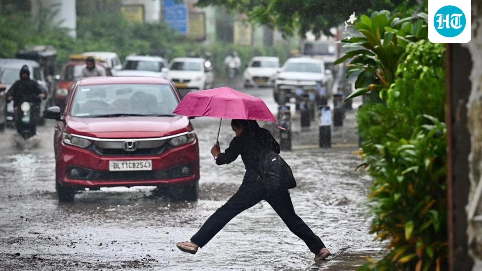
The India Meteorological Department (IMD) has issued a yellow alert for Delhi and surrounding NCR regions, forecasting moderate to heavy rainfall and thunderstorms. This weather pattern is part of a broader, active monsoon system affecting multiple states across India.
Delhi Braces for Continued Monsoon Deluge
The India Meteorological Department (IMD) has maintained a heightened state of alert for the National Capital Region (NCR) as persistent monsoon conditions continue to impact the area. With a yellow alert issued for the third consecutive day, residents in Delhi, Noida, Ghaziabad, and Faridabad are preparing for further spells of moderate to heavy rainfall. Meteorological experts note that overhead thunderstorm formations, compounded by moisture-laden bands moving in from western Uttar Pradesh, are the primary drivers of this sustained wet spell.
Understanding the IMD Yellow Alert
The issuance of a 'yellow alert' by the IMD serves as a critical advisory for the public to 'be aware' and remain updated on weather changes. In the context of the capital, this suggests that while the intensity of the rain may fluctuate, the potential for localized disruption remains significant. The forecast specifically highlights the window between 9:00 AM and 3:00 PM as a period of heightened risk for moderate to heavy showers, necessitating caution for those planning outdoor activities or travel.
Rainfall Anomalies and Regional Context
One of the most noteworthy aspects of this season is that Delhi has already surpassed its annual rainfall average. This milestone highlights the intensity of the current monsoon cycle, which has consistently outperformed historical norms. The current weather system is not isolated to the capital; it is part of a wider active monsoon front sweeping across Northern and Central India, including states like Haryana, Punjab, Rajasthan, and Madhya Pradesh, where isolated heavy rainfall is also expected.
Broader Meteorological Implications
Beyond the capital, the IMD has flagged significant weather activity across the eastern and northeastern corridors of India. Regions including Assam, Meghalaya, and the sub-Himalayan belts of West Bengal and Sikkim are under observation for heavy showers. The combination of thunderstorms, lightning, and gusty winds across these diverse geographies underscores the complexity of the current monsoon system, which continues to bring heavy precipitation to large swaths of the country simultaneously.
Impact on Infrastructure and Daily Life
As seen in recent reports of waterlogging in areas like Anand Parbat, such recurring heavy rainfall poses persistent challenges for urban infrastructure. The saturation of the ground and the frequency of these showers mean that drainage systems are often pushed to their limits. With temperatures expected to remain moderate—peaking at 33°C—the primary concern for the public and local authorities remains the management of water accumulation and the mitigation of risks associated with lightning and gusty winds.
Future Trends and Conclusion
Looking ahead, the active status of the monsoon suggests that the volatility in weather patterns will continue to be a defining feature for the coming days. As climate variability influences the frequency and intensity of these convective storms, the role of real-time monitoring and IMD alerts becomes increasingly vital for public safety. Residents are encouraged to monitor ongoing updates, as the combination of atmospheric moisture and shifting wind patterns maintains the potential for sudden, intense weather shifts throughout the region.
Multiple Citing Sources
Verification Required?