Google Earth spot led to hidden Mozambique rainforest — and a new butterfly
Source Entity
TOI SCIENCE DESK
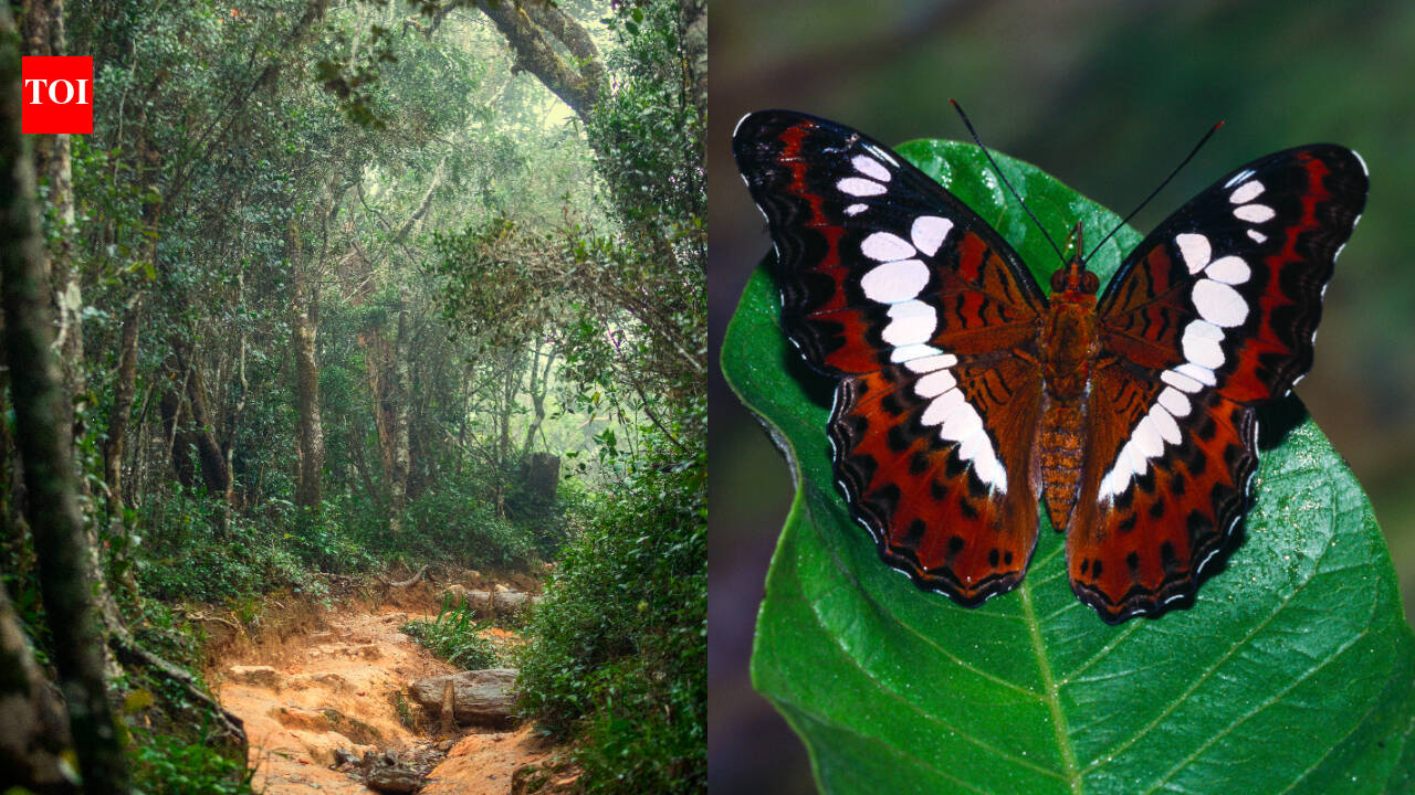
Ecologist Julian Bayliss used satellite imagery to discover a hidden, isolated rainforest within a crater on Mount Lico in Mozambique. This unique ecosystem, identified via Google Earth, has led to significant biological findings, including a new butterfly species.
The Discovery of Mount Lico: A Hidden Biological Treasure
In a remarkable convergence of modern satellite technology and traditional field biology, ecologist Julian Bayliss has unveiled a pristine, isolated ecosystem hidden within a volcanic crater in northern Mozambique. By utilizing high-resolution imagery from Google Earth, Bayliss identified a distinct green patch that appeared anomalous against the surrounding landscape of Mount Lico. This discovery serves as a testament to the power of remote-sensing technology in identifying geography that remains inaccessible to traditional ground-based exploration.
The Role of Satellite Imagery in Modern Conservation
Bayliss has dedicated years to the strategic use of satellite data to pinpoint environments that are otherwise impossible to reach on foot. His methodology relies on identifying microclimates and isolated forest pockets that have remained shielded from human interference due to their extreme topography. Mount Lico follows in the footsteps of his previous successful identification of Mount Mabu, another significant rainforest in southern Africa that had remained largely undocumented by the scientific community until his intervention.
Challenges of the Crater Ecosystem
The expedition to Mount Lico was defined by the physical difficulty of reaching the crater floor. Once identified from thousands of miles above, the site presented a daunting obstacle: the vertical rock walls of the crater. The subsequent climb required specialized mountaineering skills, highlighting the inherent tension between identifying a site via digital tools and the logistical reality of conducting biological surveys in such remote, vertical environments.
Unveiling Biodiversity
Once inside the crater, the team encountered an ecosystem that had been effectively sealed off from the outside world. This isolation has fostered a unique biological environment where species can evolve independently of the surrounding lowland forests. The discovery of a new butterfly species within this crater is a critical indicator of the high endemism that exists in such 'sky islands,' underscoring the ecological value of protecting these isolated pockets of biodiversity.
Technology as a Catalyst, Not a Conclusion
While satellite imagery was the catalyst for this discovery, the findings emphasize that technology can reveal, but it cannot explain. The biological complexity of the Mount Lico rainforest—the interactions between species, the soil composition, and the historical climate patterns—requires the physical presence of scientists. Technology acts as the lens, but the actual scientific understanding of these environments remains a labor-intensive process that necessitates boots on the ground.
Future Implications for Environmental Science
The case of Mount Lico suggests that there are likely many more 'hidden' ecosystems waiting to be identified across the globe. As satellite resolution continues to improve and machine learning algorithms become more adept at identifying ecological patterns, conservationists will likely find more of these 'forgotten' forests. This trend points toward a future where remote sensing becomes the primary tool for identifying high-priority conservation areas, ensuring that we protect these vital biodiversity hotspots before they face the pressures of human encroachment.