Weather updates: Red alert for Uttar Pradesh, Uttarakhand districts today; yellow alert in Delhi | LIVE
Source Entity
India Latest News: Top National Headlines Today & Breaking News | The Hindu
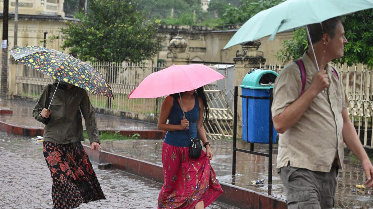
The IMD has issued a red alert for intense rainfall in Uttar Pradesh and Uttarakhand, while Delhi-NCR prepares for thunderstorms and gusty winds. These weather warnings, effective through the weekend, are driven by a depression moving across central India.
Severe Weather Alert: Heavy Rains Across Northern India
The India Meteorological Department (IMD) has sounded a high-level alert across North India as a significant weather system, characterized by a depression moving from central India toward Uttar Pradesh, brings widespread rainfall. This meteorological shift has prompted authorities to issue a red alert for several districts in Uttar Pradesh and Uttarakhand, signaling the potential for extreme weather events that could disrupt local infrastructure and daily life.
Escalating Risks in Uttar Pradesh and Uttarakhand
In Uttar Pradesh, the situation is particularly critical, with the IMD warning of 'heavy to very heavy' rainfall, and even 'extremely heavy' precipitation in isolated pockets. The state government is on high alert, as such intense downpours often lead to waterlogging and localized flooding. Simultaneously, neighboring Uttarakhand faces a similar threat. CM Dhami has directed officials to maintain strict vigilance, specifically focusing on districts like Bageshwar, Pithoragarh, Champawat, Nainital, and Udham Singh Nagar, which are under a red alert.
Delhi-NCR: A Shift in Weather Patterns
While the red alert is concentrated further north, the Delhi-NCR region is also experiencing the impact of this weather system. The national capital woke up to cloudy skies on Saturday, September 26, 2026, with the IMD forecasting light to moderate rainfall accompanied by thunderstorms, lightning, and gusty winds throughout the weekend. This shift is a marked change for the city, which has seen cooler-than-normal morning temperatures recently.
Temperature Anomalies and Meteorological Data
Data from various IMD stations in Delhi underscores the cooling effect of these incoming clouds and winds. On Saturday morning, the Ridge station recorded a minimum temperature of 18.8°C—a notable 4.9 degrees below normal. Other key stations, including Safdarjung (23.2°C) and Palam (20.5°C), also reported temperatures below the seasonal average, reflecting the broader atmospheric instability currently influencing the northern plains.
Broader Implications and Future Trends
These weather patterns are part of a larger, complex monsoon-end phenomenon where depressions from central India track toward the Indo-Gangetic plain. The intensity of these rains, especially in the sensitive Himalayan region of Uttarakhand, raises concerns regarding landslide risks and river swelling. As the system progresses, the immediate focus remains on disaster preparedness and public safety messaging to mitigate the impact of the predicted heavy downpours.
Conclusion
As the weekend progresses, the combination of a depression moving across the region and the resulting moisture influx necessitates heightened caution. Residents in the affected red-alert districts are advised to follow official guidance as the IMD continues to monitor the movement of this system. The interplay between shifting temperatures and intense rainfall serves as a reminder of the volatile nature of the tail-end of the monsoon season in Northern India.
Verification Required?