24-hr downpour in Lko delivers monsoon’s parting punch
Source Entity
Latest News: Todays Latest News Headlines from India & World | Hindustan Times | Hindustan Times
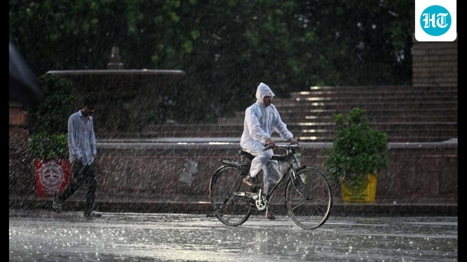
A deep depression has triggered severe flooding and rainfall across Odisha, Chhattisgarh, and Lucknow, leading to school closures and infrastructure disruption. Authorities have issued alerts as heavy downpours continue to impact low-lying areas and transportation.
Severe Weather Disrupts Life Across Odisha, Chhattisgarh, and Uttar Pradesh
As of September 25, 2026, a significant meteorological event—a deep depression originating from the Bay of Bengal and making landfall near Kalingapatnam—has unleashed widespread destruction across multiple Indian states. This weather system has brought intense rainfall, causing life-altering floods, landslides, and waterlogging in Odisha, Chhattisgarh, and parts of northern India, including Lucknow.
The Impact on Odisha and Chhattisgarh
The situation in Odisha is particularly dire, with regions such as Nabarangpur and Koraput experiencing extreme precipitation. Tentulikhunti recorded a staggering 395 mm of rain in just 24 hours, highlighting the intensity of the deluge. This influx of water has necessitated the evacuation of approximately 10,000 residents from low-lying areas. Simultaneously, neighboring Chhattisgarh has faced severe isolation, with villages in the Bastar region cut off from essential services. The human cost is already evident, with a tragic drowning incident reported in Kondagaon involving a 40-year-old farmer.
Administrative and Educational Disruptions
In response to the mounting crisis, district administrations across eight districts in Chhattisgarh—including Dantewada, Bijapur, and Durg—have ordered the closure of all government and private schools to ensure student safety. Similar measures have been implemented in Lucknow, where relentless rainfall totaling 86.6 mm within a 12-hour window has forced authorities to shut down educational institutions. These closures reflect the severity of the infrastructure strain, as urban waterlogging threatens public transit and safety.
Meteorological Context and Geographical Reach
The deep depression, which moved across south interior Odisha and adjoining south Chhattisgarh, has demonstrated a wide geographical footprint. While the system is expected to weaken by Saturday, its influence has stretched as far as Lucknow, where the monsoon's "parting punch" resulted in a significant temperature drop to 23.5 degrees Celsius. The persistence of heavy winds and lightning threats has kept local governments on high alert until at least September 27.
Broader Implications and Future Outlook
This event underscores the increasing volatility of post-monsoon weather patterns in the Indian subcontinent. The combination of saturated soil and high-intensity rainfall creates a high risk for flash floods and structural collapses. As authorities continue to monitor the weakening depression, the immediate focus remains on disaster relief, restoring connectivity to severed villages, and managing the health risks associated with waterlogging and stagnant water.
Conclusion
While the meteorological threat is projected to subside as the depression dissipates, the recovery phase for the affected regions will be lengthy. The coordination between state administrations in identifying vulnerable populations and suspending high-risk activities like schooling has been critical in mitigating further loss of life. Continuous vigilance is required until the weather stabilizes and the floodwaters recede.
Verification Required?