Downpours to continue for UK with risk of flash flooding
Source Entity
BBC News
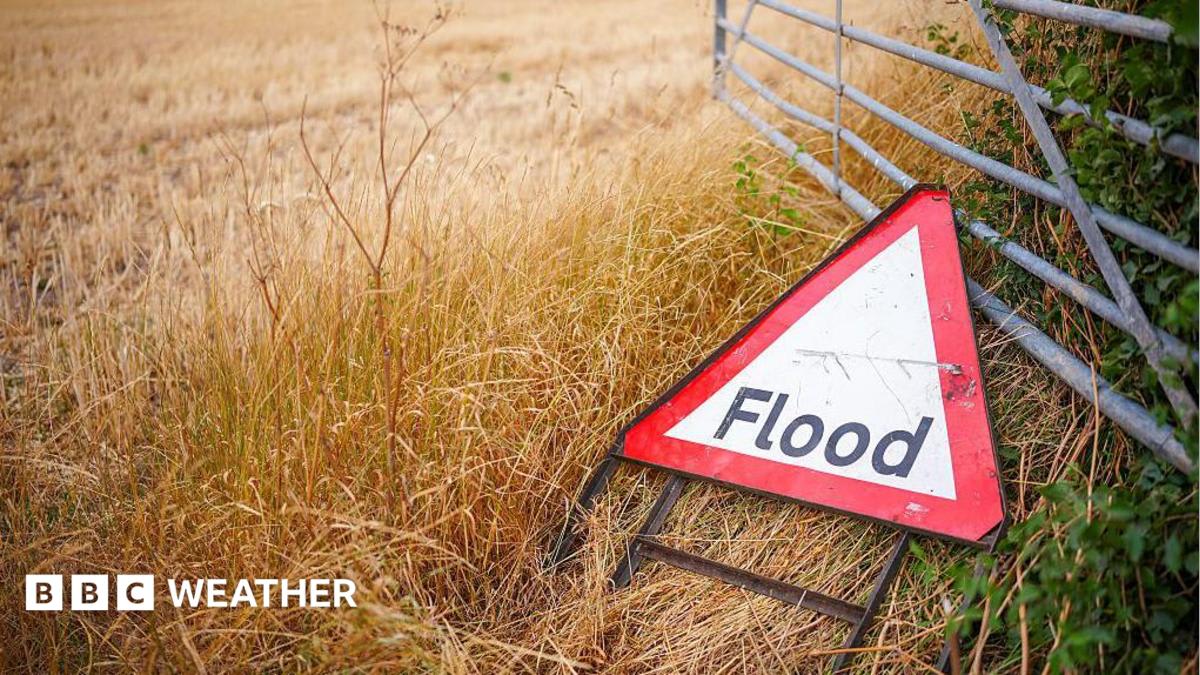
The UK is experiencing a shift from a prolonged dry spell to heavy, thundery downpours, prompting Met Office warnings for flooding and travel disruption. Drivers are cautioned about hazardous conditions as temperatures are expected to drop below the seasonal average.
Transitioning Weather Patterns in the UK
The United Kingdom is currently undergoing a significant meteorological transition as a prolonged dry spell gives way to a period of instability. According to reports from the Met Office, large swathes of the country are experiencing heavy, thundery showers that present immediate risks to infrastructure and public safety. This shift marks a stark departure from the preceding weeks, highlighting the volatile nature of the British summer climate.
Assessing the Immediate Risks
The most pressing concern for authorities is the threat of flash flooding resulting from these intense downpours. As heavy precipitation hits dry, hardened ground, the soil's capacity for absorption is significantly reduced, leading to rapid surface runoff. This phenomenon increases the likelihood of water accumulating on roadways and in low-lying areas, posing a direct threat to residential properties and transport networks alike.
Regional Impact and Met Office Warnings
Strategic warnings have been issued to manage the fallout of this weather system. A Met Office yellow thunderstorm warning remains in effect for northern England and north Wales until 10:00 BST on Thursday. As the system drifts southward and eastward, regions including the Midlands, East Anglia, and southern England are bracing for similar impacts. These warnings are essential for coordinating emergency responses and alerting the public to potential travel disruptions throughout the day.
Travel and Infrastructure Challenges
Drivers are being cautioned that the sudden return to wet weather will create hazardous conditions. Beyond the obvious risk of standing water on roads, the combination of rain and accumulated debris from the dry spell can result in exceptionally slippery surfaces. Authorities are urging motorists to exercise increased vigilance, maintain greater following distances, and be prepared for potential road closures or delays as transport networks adjust to the sudden influx of water.
Meteorological Trends and Temperature Fluctuations
In addition to the rainfall, the UK is witnessing a noticeable drop in temperatures. Projections indicate that many areas will remain below the typical August average over the coming days. This cooling effect is a direct result of the weather front bringing the rain, and it underscores the instability currently gripping the region. While the dry spell provided a temporary reprieve, the current conditions demonstrate how quickly environmental patterns can pivot.
Conclusion and Future Outlook
The current weather situation serves as a reminder of the UK's susceptibility to rapid environmental changes. As the country navigates the remainder of this period of instability, the focus remains on mitigating the impacts of flash flooding and ensuring the safety of road users. With temperatures remaining suppressed, residents should remain alert to further localized warnings as these storm systems continue to drift across the nation.