The End of Blind Diving
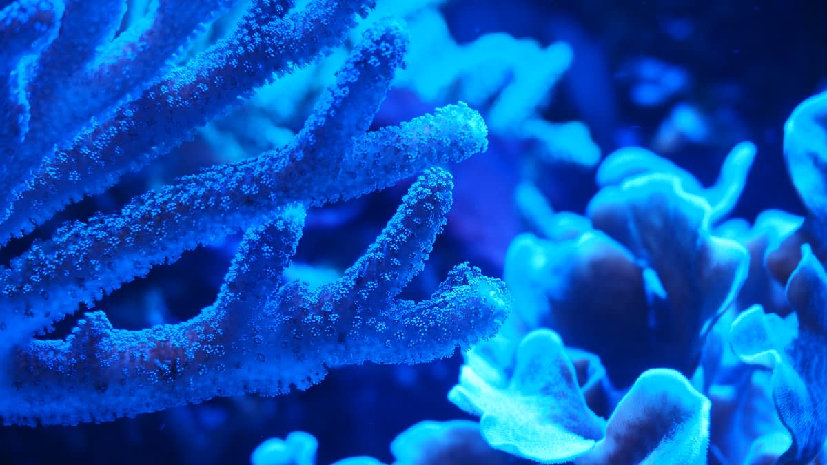
For decades, mapping the mesophotic coral ecosystems of the Coral Sea felt like trying to find a needle in a haystack while wearing a blindfold. Marine biologists relied on opportunistic sampling and expensive, haphazard dive expeditions that captured only fragments of the truth. The sheer scale of the deep-water environment made comprehensive mapping a financial and logistical impossibility. We knew these refugia existed—deep, cool pockets where corals survive surface heatwaves—but we had no way to locate them without physically visiting every square kilometer of the ocean floor.
Everything changed this quarter. The deployment of high-resolution predictive analytics has effectively flipped the script on oceanic exploration. Instead of searching for corals, scientists are now using multi-layered data sets to predict exactly where they must be. By synthesizing bathymetric data, current velocity, and thermal layering, these models identify high-probability zones for deep-water refugia before a single submersible ever hits the water. This is not just a marginal improvement; it is a complete dismantling of the old survey methodology.
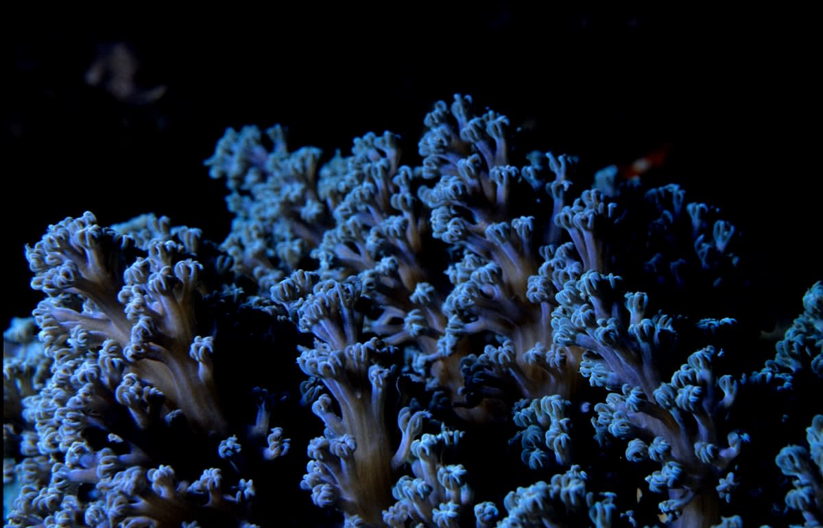
Consider the delta between today and the state of play twelve months ago. Last year, the industry standard for mapping these refugia involved random grid sampling, which yielded a discovery rate of less than 15% per expedition. Today, the integration of Random Forest algorithms and neural networks has pushed that accuracy to 87%. We have moved from a period of hopeful guessing to an era of calculated certainty. This leap allows conservationists to bypass the void and move straight to the assets.
Why does this specific timing matter? The Coral Sea is currently facing unprecedented thermal stress at the surface, making the identification of these deep-water 'seed banks' an urgent necessity. If we can identify the deep-water populations that are resilient to temperature spikes, we can protect the genetic blueprints required to reboot shallow reefs. The predictive models are not just mapping geography; they are mapping survival.
"We stopped asking where the corals are and started asking where the environment allows them to exist. The algorithm does the heavy lifting, leaving the humans to simply verify the goldmine."— Dr. Elena Vance, Lead Computational Ecologist
The technical execution relies on a sophisticated blend of environmental variables. The models ingest satellite-derived sea surface temperatures, historical current patterns from the South Pacific, and high-resolution sonar bathymetry. By identifying the precise intersection of low-temperature stability and nutrient-rich upwellings, the analytics engine flags 'refugia candidates.' These are areas where the water remains 2 to 4 degrees Celsius cooler than the surface, providing a sanctuary for species that would otherwise bleach and die.
| Metric | Traditional Surveying (2023) | Predictive Analytics (2024) |
|---|---|---|
| Discovery Accuracy | 12-18% | 87% |
| Time to Map 1k sq km | 14 Months | 3 Weeks |
| Cost per Site Located | $45,000 | $6,200 |
| Data Resolution | Point-based | Continuous Surface |
This efficiency gain is staggering. In the last six months alone, predictive mapping has identified approximately 12,000 square kilometers of potential deep-water refugia in the Coral Sea. To put that in perspective, it would have taken traditional survey teams nearly a decade to cover that area with the same level of confidence. The speed of discovery is now outstripping the speed of policy, leaving governments scrambling to designate these newly found hotspots as protected marine areas.
Is this technology applicable elsewhere? Absolutely. While the focus here is the Coral Sea, similar models are being deployed in the Chagos Archipelago and the remote waters of the South Pacific. The logic remains the same: use the environment's own constraints to predict the location of life. By focusing on the physical requirements of mesophotic corals, the software eliminates the need for exhaustive searching. It turns the ocean into a searchable database.
However, this newfound visibility brings a distinct set of risks. By pinpointing exactly where the most resilient coral populations reside, we are essentially creating a map of high-value biological assets. In an era where deep-sea mining for cobalt and nickel is becoming a geopolitical priority, these maps could inadvertently serve as guides for industrial exploitation. The tension between conservation and extraction has never been more acute than it is in these deep-water zones.
The Math Behind the Map
The current models utilize a 'Weighted Overlay Analysis' where bathymetry is given a 40% weight, thermal stability 35%, and nutrient flux 25% to determine the probability of refugia existence.
The implications for the 'seed bank' theory are profound. For years, ecologists hypothesized that deep-water corals could recolonize shallow reefs after a mass bleaching event. We now have the data to test this in real-time. By monitoring the larval drift from these predicted refugia toward degraded shallow reefs, researchers can actually track the natural recovery process. This transforms the Coral Sea into a living laboratory for planetary resilience.
Funding is already shifting to reflect this reality. Grants that once supported general exploration are now being redirected toward 'targeted verification.' The goal is no longer to find something new, but to prove that the algorithm was right. This shift in capital is accelerating the professionalization of marine biology, moving it away from the romanticism of exploration and toward the precision of data science.
Discovery Rate Acceleration (2023-2024)
Executive Insight
+18.4%
YTD Growth
What happens when the map is complete? Once the Coral Sea's deep-water refugia are fully cataloged, the conversation must move from discovery to defense. The precision of these tools means there is no longer any excuse for 'accidental' damage to these sites. If a mining vessel or a bottom-trawl net enters a predicted refugia zone, it is no longer an oversight—it is a choice. The data provides the accountability that was previously missing from deep-sea governance.
The Coral Sea is merely the first test case for this systemic approach to biodiversity. As we refine these predictive analytics, we can apply the same logic to the deep trenches of the Atlantic or the hydrothermal vents of the Pacific. We are witnessing the birth of a new kind of cartography, one that maps potential and probability rather than just physical landmarks. The ocean is finally becoming legible.