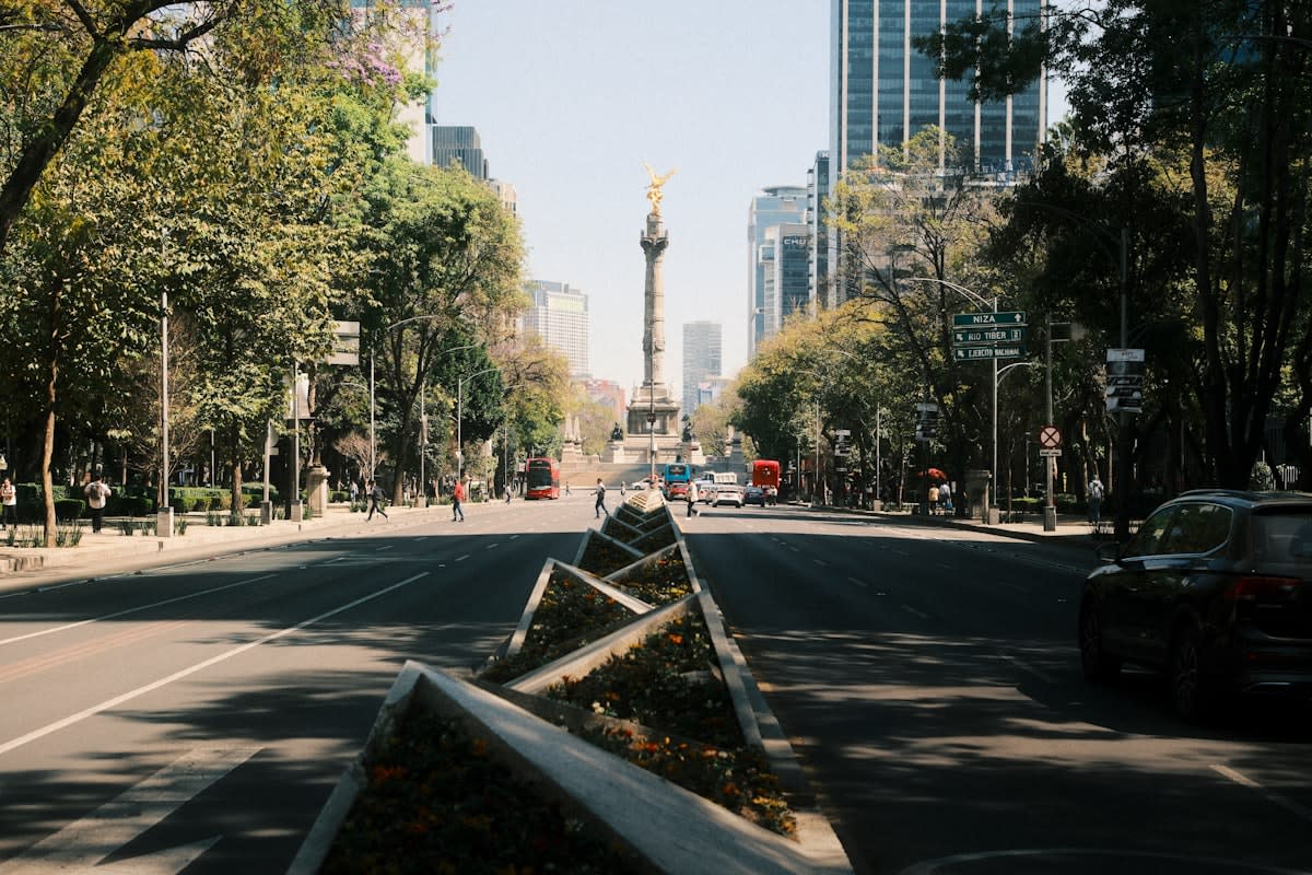
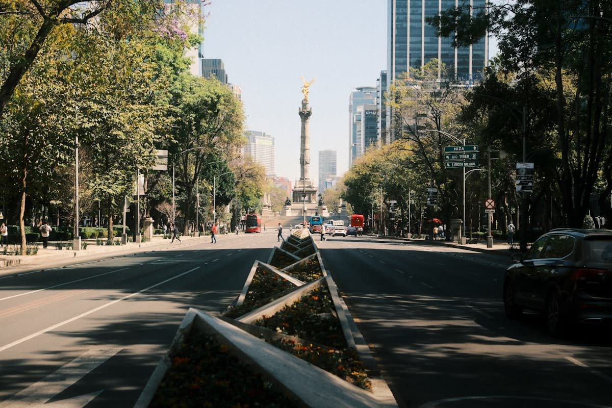
Walk through the Paseo de la Reforma in Mexico City today, and the sensory experience is fundamentally different than it was a decade ago. The oppressive roar of multi-lane traffic is being punctuated by the hum of electric micro-mobility and the chatter of thousands of pedestrians reclaiming the center of the road. This is not a random aesthetic choice but a calculated retreat from the car-centric urbanism that dominated the late 20th century. City halls across the region are realizing that highways do not solve congestion; they invite it by creating a vacuum that more cars rush to fill. The priority has shifted from moving vehicles at high speeds to moving people at human speeds.
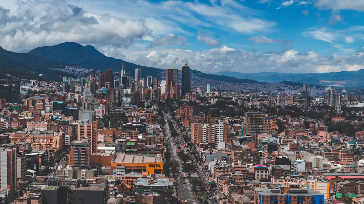
The phenomenon of induced demand has finally reached the desks of Latin American mayors and urban planners. For decades, the reflexive response to traffic jams was to widen the road, only to find the new lanes saturated within months. This cycle created urban canyons of concrete that severed neighborhoods and killed local street-level commerce. By prioritizing walkability, cities like Bogotá are reducing the reliance on private vehicles for short trips, which historically accounted for nearly 40% of urban congestion in the region. The focus is now on the efficiency of the human foot, the most sustainable and space-efficient mode of transport available.
The Asphalt Obsession Ends
The delta between 2023 and 2024 reveals a sharp acceleration in this trend. Twelve months ago, the prevailing conversation in municipal planning was about smart traffic lights and digital congestion management. Today, that conversation has transitioned to the physical removal of car lanes to make room for wider sidewalks and protected bike paths. In several key capitals, we have seen a 15% increase in the allocation of municipal budgets toward non-motorized transit in the last year alone. This represents a departure from the slow, incremental changes of the previous decade, moving toward an aggressive reclamation of public space.
Increase in Dedicated Pedestrian Space (2023-2024 %)
Executive Insight
+18.4%
YTD Growth
Bogotá has long been a laboratory for these ideas, but the current phase is more permanent. The famous Ciclovía, which once closed roads only on Sundays, is now serving as a blueprint for permanent pedestrian corridors. The city is integrating these paths with its Bus Rapid Transit (BRT) system to ensure that the first and last mile of a commute are entirely car-free. This integration reduces the friction of public transit, making it a viable alternative to the private car for the middle class. The goal is no longer just to provide a path for cyclists, but to create a seamless urban fabric where walking is the default.
"We are not just widening sidewalks; we are returning the city to its citizens. The car was a guest that stayed too long and took over the living room."— Regional Urban Planning Consultant
The logic applied here mirrors the 15-minute city concept, but it is adapted for the unique density of Latin American barrios. In these neighborhoods, the infrastructure for walking already exists in the form of narrow streets and tight clusters of shops, but it was often choked by illegally parked cars and haphazard road expansions. By formalizing these walkable zones, cities are leveraging existing density to create hyper-local economies. When residents can reach their basic needs within a short walk, the pressure on the arterial highway system drops precipitously. This structural change reduces the carbon footprint of the city while increasing the quality of life for the resident.
The Proximity Logic
The 15-minute city in Latin America focuses on 'social proximity', ensuring that healthcare, education, and fresh food are accessible without needing a motorized vehicle, thus reducing the socioeconomic gap in mobility.
Medellín offers perhaps the most radical example of this transition through its strategy of urban acupuncture. By installing massive outdoor escalators and cable cars to connect hillside slums to the valley floor, the city created a demand for walkable connectors. These connectors are not just sidewalks; they are social corridors lined with libraries, parks, and plazas. This approach proves that walkability is not a luxury for the wealthy center but a tool for social integration in the periphery. The result is a decrease in commute times and an increase in the safety of the streets due to higher pedestrian volume.
| Metric | Highway-Centric Model | Walkable-First Model |
|---|---|---|
| Infrastructure Cost per km | High ($10M - $50M) | Low ($1M - $5M) |
| Local Retail Impact | Low (Pass-through traffic) | High (Foot traffic spend) |
| Commute Predictability | Low (Traffic sensitive) | High (Consistent speed) |
| Public Health Cost | High (Pollution/Sedentary) | Low (Active transport) |
The economic argument for this shift is becoming impossible to ignore. Data from pedestrianized zones in various capitals shows a significant spike in retail sales compared to car-dependent corridors. Pedestrians stop more often, spend more per visit, and support smaller, local businesses that cannot survive next to a high-speed highway. This creates a virtuous cycle where business owners, who were once the strongest opponents of removing car lanes, become the biggest advocates for walkability. The financial ROI of a wide sidewalk is simply higher than that of a fourth traffic lane.
Santiago is tackling this transition through the lens of environmental resilience. The city has struggled with severe smog and heat-island effects caused by vast stretches of asphalt. By replacing redundant road surfaces with green corridors and permeable pavements, the city is simultaneously fighting air pollution and managing stormwater. These green-walkable paths act as thermal buffers, lowering the ambient temperature of the street. This is a survival strategy as much as an urban planning one, as the region faces increasing climate volatility.
Much of this progress is being achieved through tactical urbanism—the use of low-cost, temporary interventions like paint, planters, and plastic bollards to test new street layouts. This allows cities to demonstrate the benefits of walkability to a skeptical public before committing to expensive permanent construction. Once a community sees that a street is quieter, safer, and more economically vibrant, the political will to make the change permanent grows. This agile approach reduces the risk for mayors and allows for iterative design based on actual user behavior.
Reclaiming the Urban Right
There is a profound social equity dimension to the removal of highways. In many Latin American cities, the highway was a tool of segregation, physically cutting off low-income neighborhoods from the economic opportunities of the center. Reclaiming these spaces for pedestrians is an act of democratization. It asserts that the right to the city belongs to the person walking to work, not just the person owning a luxury SUV. This shift in priority is slowly erasing the physical boundaries that have reinforced social hierarchies for decades.
However, this transition is not without friction. The political risk of removing car lanes is high, as the vocal minority of car owners often wields disproportionate influence in city councils. Planners are now using data-driven arguments to counter this, showing that reducing car lanes often improves the flow of the remaining traffic by eliminating the erratic behavior of drivers searching for parking. They are framing walkability not as an attack on the car, but as a liberation from the traffic jam. The narrative is shifting from sacrifice to optimization.
Real estate markets are also reacting to this change. Properties located on walkable, pedestrian-friendly streets are seeing a premium in valuation compared to those on high-traffic highways. Developers are now designing mixed-use projects that prioritize ground-floor retail and pedestrian access over underground parking garages. This shift in investment indicates that the market now views walkability as a high-value amenity. The 'walk score' of a neighborhood is becoming a primary driver of property demand in the urban core.
The integration of micro-mobility, specifically e-bikes and scooters, is acting as a catalyst for this movement. These tools extend the range of the walkable city, allowing people to travel 3 to 5 kilometers without a car. By creating protected lanes that connect these micro-mobility hubs to pedestrian zones, cities are creating a comprehensive network that makes the private car redundant for most urban trips. This is the final piece of the puzzle in the transition away from the highway model.
Looking forward, the challenge will be scaling these successes from the city center to the sprawling suburbs. The current trend is concentrated in the cores, but the true test of walkability will be in the residential fringes where car dependency is most entrenched. If cities can successfully implement transit-oriented development in these areas, they can prevent the further expansion of the highway network. The goal is a polycentric city where multiple hubs of activity are connected by walking and high-capacity transit.
The quiet revolution in Latin American urbanism is a signal to the rest of the world. By daring to remove lanes and prioritize the pedestrian, these cities are solving the contradictions of the modern metropolis. They are proving that density is not a problem to be managed with more roads, but an asset to be utilized with better walking paths. The era of the highway as the primary organ of the city is ending, replaced by a network of streets that prioritize human connection over vehicle throughput.