Odisha Braces For Cyclone Murasu After Cyclone Arnab Leaves 6 Dead
Source Entity
NDTV News Search Records Found 1000
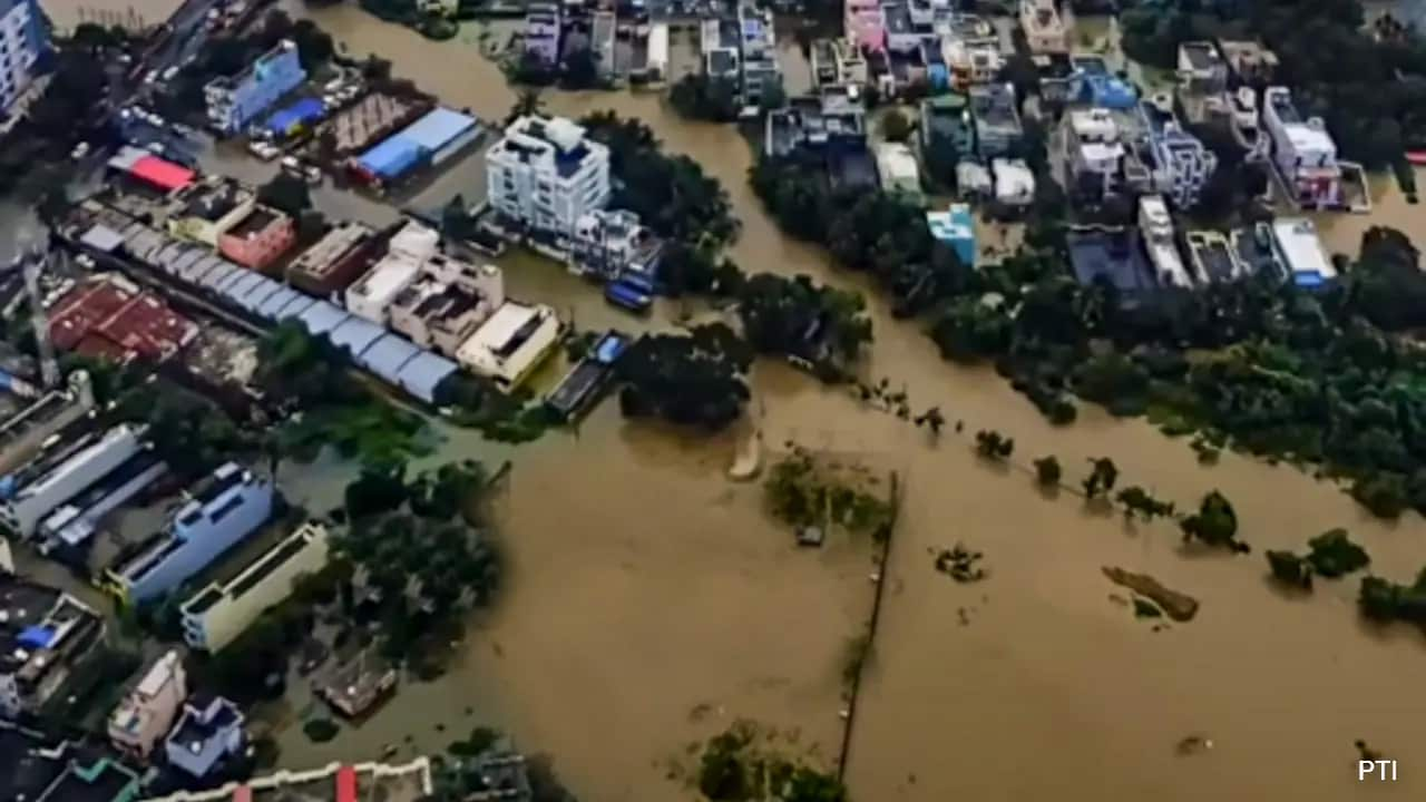
A low-pressure system in the Bay of Bengal is intensifying into a cyclonic storm, expected to reach the Andhra Pradesh coast by November 2. While coastal regions brace for heavy rainfall, meteorologists expect the storm to weaken significantly before impacting inland states like Telangana.
Meteorological Shift: Bay of Bengal Cyclonic Development
As of late October 2026, the India Meteorological Department (IMD) has identified a significant weather system forming over the South Andaman Sea. This low-pressure area is currently in the process of rapid intensification, transitioning into a depression and expected to evolve into a cyclonic storm as it tracks across the southeast Bay of Bengal. This development follows a period of relative calm, marking a return to active monsoon-like weather patterns for parts of the Southern Peninsula.
Trajectory and Intensity Forecasts
The system is projected to maintain a west-northwestward trajectory, steadily gaining strength as it traverses the warm waters of the Bay of Bengal. Meteorological models suggest that the storm will reach the west-central Bay of Bengal near the Andhra Pradesh coast by the evening of November 2, 2026. Experts emphasize that while the storm is expected to reach cyclonic intensity over the sea, its structural integrity will likely be tested once it encounters landmasses, leading to a forecasted weakening trend.
Regional Impact: Coastal vs. Inland
Coastal Andhra Pradesh remains the primary focus for potential heavy rainfall and associated weather hazards. The IMD has highlighted that as the system moves inland, it is expected to dissipate into a deep depression. This is a critical distinction for inland regions; for instance, S. Stella, Head of the IMD Centre in Hyderabad, has clarified that Telangana is unlikely to face the severe brunt of the cyclonic system, as it will weaken considerably before reaching the state's interior.
The Keralam Connection
Interestingly, the influence of this Bay of Bengal system extends beyond the immediate path of the cyclone. Keralam is expected to witness a revival of rainfall activity starting November 1, 2026. This demonstrates the far-reaching atmospheric teleconnections often seen during the post-monsoon season, where a singular low-pressure system can alter moisture distribution across the entire Southern Peninsula, despite the state's geographic distance from the storm's landfall point.
Broader Implications and Future Trends
This event underscores the volatility of the Bay of Bengal during the post-monsoon period, a time historically prone to cyclogenesis. As climate patterns shift, the intensity and frequency of such systems require constant monitoring. The rapid intensification from a low-pressure area to a cyclonic storm within a 24-hour window highlights the necessity for high-precision satellite tracking and robust early-warning systems to mitigate risks for coastal populations.
Conclusion
The situation remains dynamic, with state-level disaster management authorities likely to remain on alert until the system fully crosses the coast on November 3. While the immediate threat of a full-scale cyclone is largely contained to the coastal fringe of Andhra Pradesh, the broader moisture influx will provide much-needed rainfall to southern states, illustrating the dual nature of these weather systems as both potential hazards and vital sources of water for the region.
Multiple Citing Sources
Verification Required?