Centre approves Rs 65 crore for geo-spacial based survey of unauthorised colonies
Source Entity
The Indian Express
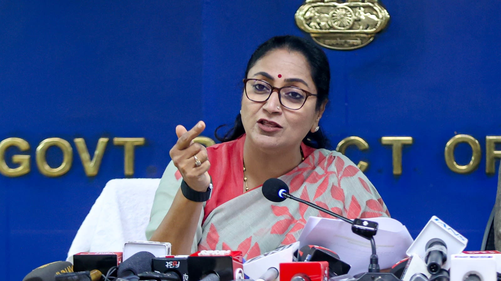
The Centre has approved a ₹65-crore project named DRISHTI to modernize property mapping in Delhi's unauthorized colonies. This GIS-based initiative aims to streamline the PM-UDAY scheme and expedite property rights for residents.
Modernizing Urban Governance: The DRISHTI Initiative
The Union government has officially sanctioned a ₹65-crore project aimed at transforming the landscape of urban planning in Delhi. The initiative, titled the Delhi Revenue and Imaging Survey, Spatial Technology Initiative (DRISHTI), is designed to modernize the survey and mapping of properties located within the city’s numerous unauthorized colonies. By leveraging advanced Geospatial Information Systems (GIS), the government intends to create a transparent and systematic digital framework for property documentation.
Accelerating the PM-UDAY Scheme
At the heart of this initiative is the Pradhan Mantri-Unauthorized Colonies in Delhi Awas Adhikar Yojana (PM-UDAY). This scheme serves as a crucial mechanism for granting legal property rights to residents living in over 1,500 unauthorized colonies across the capital. The introduction of DRISHTI is expected to provide a significant operational boost to PM-UDAY, which has faced historical challenges regarding the verification and formalization of land titles in densely populated, non-planned urban areas.
Strategic Implementation and Institutional Support
To ensure the efficiency of this digital transition, the project includes the establishment of dedicated PM-UDAY cells across all 13 districts of Delhi, alongside a central oversight cell at the Revenue Department headquarters. According to Delhi Chief Minister Rekha Gupta, these cells will function as specialized units to expedite the registration process. This structural support is intended to make the documentation process time-bound, effectively reducing the bureaucratic bottlenecks that have historically plagued property regularization efforts.
Technological Impact and Transparency
The transition from traditional, manual survey methods to GIS-based spatial technology represents a major shift toward digital governance. By utilizing high-resolution imagery and spatial data, the administration aims to minimize human error and eliminate discrepancies in property boundaries. This technological leap is not merely an administrative upgrade; it is a vital step toward ensuring that property data is immutable, transparent, and easily accessible to both the government and the residents themselves.
Broader Implications for Delhi’s Urban Future
This development follows a proactive request from the Delhi government to the Union Ministry of Housing and Urban Affairs, highlighting a collaborative effort to address long-standing urban issues. The successful implementation of DRISHTI could serve as a model for other rapidly urbanizing regions in India. By formalizing property rights, the government is not only providing legal security to millions of residents but also integrating these colonies into the formal municipal tax and planning infrastructure.
Conclusion
In summary, the ₹65-crore allocation for the DRISHTI project marks a pivotal moment for urban development in Delhi. By integrating cutting-edge spatial technology with administrative reforms through the PM-UDAY cells, the government is setting the stage for more equitable and efficient urban management. As these new systems come online, the residents of unauthorized colonies can expect a more streamlined pathway to securing legal ownership of their homes, ultimately fostering greater stability and investment in these communities.