How were the States formed and how has the Indian map changed since 1947?
Source Entity
India Latest News: Top National Headlines Today & Breaking News | The Hindu
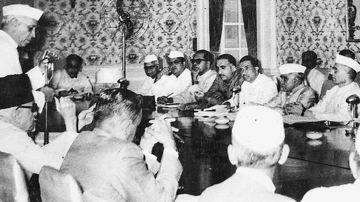
The Indian map has undergone significant structural evolution since 1947, transitioning from a collection of provinces and princely states to its current configuration. This process of reorganization continues to shape the nation's administrative and political landscape.
The Evolution of India's Administrative Geography
The journey of India’s internal map since 1947 is a complex narrative of integration, linguistic aspirations, and administrative necessity. When British paramountcy officially lapsed on August 15, 1947, the newly independent nation inherited a fragmented landscape consisting of British provinces and over 550 disparate princely states. The immediate challenge for the nascent government was the unification of these territories, a process facilitated by the Instrument of Accession, which allowed rulers to choose their allegiance between India and Pakistan.
The Post-Independence Integration
Prior to the formal independence date, 114 princely states had already pledged their support to India. The remaining entities faced a historic choice, with the vast majority opting to integrate into the Indian dominion. This period of consolidation was not merely a diplomatic effort but a foundational exercise in nation-building, transforming a patchwork of colonial-era jurisdictions into a cohesive sovereign entity. The initial map was thus a transitional construct, setting the stage for decades of further administrative refinement.
The Logic of Reorganization
As the nation matured, the demand for more logical internal boundaries became unavoidable. The reorganization of states was driven by diverse factors, most notably the linguistic and cultural aspirations of the Indian populace. Following the initial integration, India underwent multiple phases of boundary adjustments to ensure that governance remained effective and reflective of the diverse regional identities that constitute the Indian union.
Modern Administrative Shifts
The trajectory of these changes spans from the immediate post-partition era to the present day. These adjustments were not purely aesthetic; they were legal and political maneuvers intended to streamline governance. The administrative structure has evolved to accommodate the distinct needs of different regions, ensuring that the federal structure remains responsive to the populace’s shifting requirements.
The 2019 Milestone
Most recently, the internal map underwent a major transformation in 2019. The restructuring of the state of Jammu and Kashmir into two distinct Union Territories—Jammu & Kashmir and Ladakh—represents the latest chapter in this ongoing process. This change underscored the government's authority to reorganize territories to meet national security and administrative objectives, serving as a reminder that the Indian map is a dynamic document subject to legislative evolution.
Conclusion
Today, India consists of 28 States and eight Union Territories, a testament to nearly eight decades of political evolution since independence. The transformation from the colonial map of 1947 to the current configuration highlights the continuous effort to balance regional diversity with the centralized integrity of the nation-state. As India looks toward the future, the history of its internal boundaries remains a critical aspect of its democratic and administrative heritage.
Verification Required?