Reno Hawk Fire evacuation map: Wildfire spreads near Somersett; Peavine Peak, Verdi, Mogul and Cold Springs on alert
Source Entity
Latest News: Todays Latest News Headlines from India & World | Hindustan Times | Hindustan Times
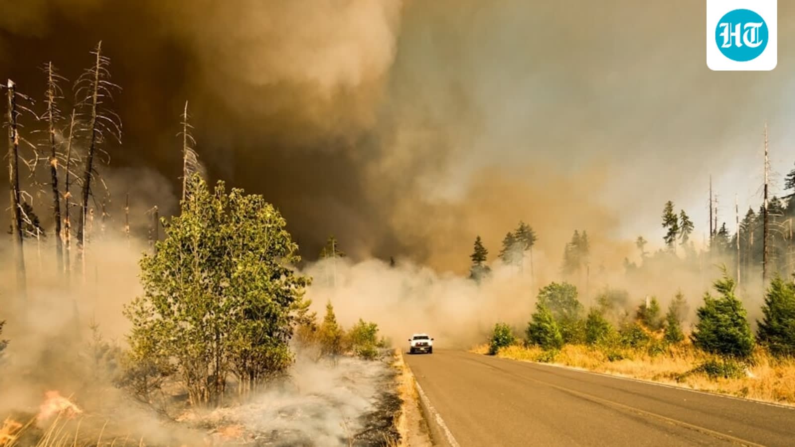
The Hawk Fire has rapidly expanded to approximately 8,000 acres northwest of Reno, Nevada, triggering mandatory evacuations. Emergency crews are battling the blaze as it threatens homes near Somersett, Verdi, and surrounding communities.
The Hawk Fire Crisis: An Evolving Wildfire Emergency
The Hawk Fire, which ignited near the Cold Creek Trail in Somersett, Nevada, has rapidly escalated from a localized incident into a significant regional emergency. Initially reported on Saturday morning, the fire has demonstrated extreme growth, with acreage estimates surging from an initial 30 acres to approximately 8,000 acres within a single operational period. This rapid expansion highlights the volatile nature of fire behavior in the rugged terrain of Washoe County, exacerbated by hazardous fire weather conditions.
Impact on Local Infrastructure and Residential Areas
The fire’s trajectory has placed immense pressure on the communities northwest of Reno. Mandatory evacuation orders have been issued, affecting neighborhoods such as Somersett Peak, South Mountain, and the Sierra Canyon area. The fire’s movement toward the Martin Luther King Jr. Highway and its proximity to North Virginia Street have forced authorities to implement complex evacuation strategies, utilizing a 'GO' level warning system to ensure resident safety while managing traffic flow in high-stress zones.
Geographical Scope and Fire Dynamics
Geographically, the Hawk Fire is burning through the Humboldt-Toiyabe National Forest, a critical region of US Forest Service land. Positioned north of Interstate 80 and south of US Highway 395, the blaze is navigating difficult, mountainous terrain. The convergence of these major transit corridors and residential developments creates a challenging environment for containment, as smoke hampers visibility and the rugged topography limits the effectiveness of ground-based fire suppression efforts.
Risk to Property and Public Safety
With reports indicating that the fire poses a direct threat to approximately 1,000 homes, the scale of the potential loss is significant. The 'SET' and 'GO' alert levels currently active in areas like Verdi, Mogul, and Cold Springs reflect the uncertainty surrounding the fire’s containment. Emergency services, including aerial support and ground crews, are actively engaged in a massive effort to establish firebreaks and protect residential structures from the advancing flames.
Long-term Implications and Future Trends
This incident underscores the increasing vulnerability of the Wildland-Urban Interface (WUI) in Nevada to fast-moving wildfires. As the Hawk Fire continues to progress, the necessity for robust evacuation planning and rapid emergency communication becomes clear. Future trends in this region will likely involve greater investment in fire-resilient infrastructure and more sophisticated early-warning systems to mitigate the impact of such explosive fire growth, which is becoming increasingly common under current climatic conditions.
Verification Required?