India backs UN world map resolution but calls out inaccurate J&K depiction
Source Entity
VIVEK DUBEY
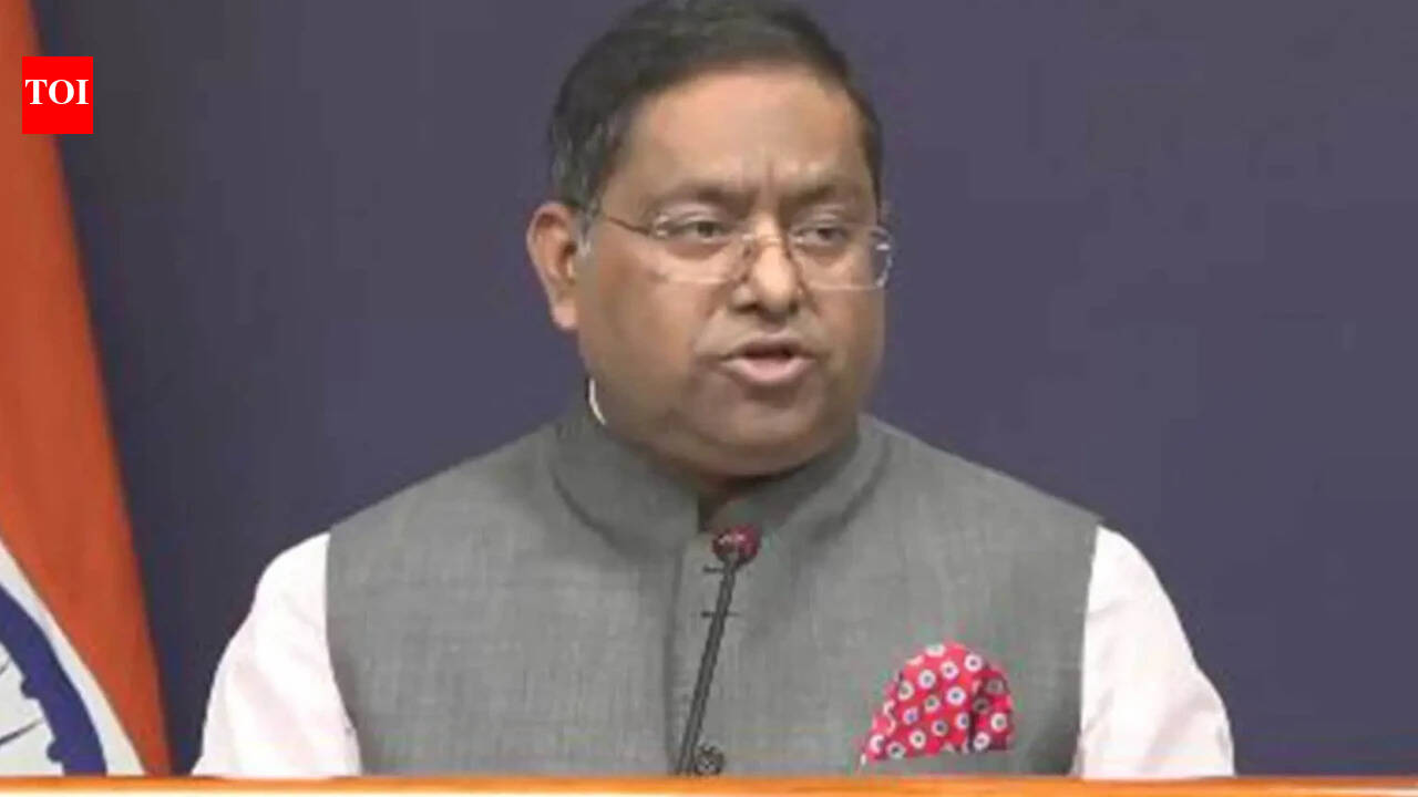
India supported a UN resolution for an 'Equal Earth' map to promote equitable landmass representation. However, the government clarified that this vote does not authorize inaccurate depictions of Jammu and Kashmir and Ladakh.
India's Stance on the UN's 'Equal Earth' Cartographic Resolution
India recently participated in a significant United Nations General Assembly vote regarding a resolution spearheaded by African nations to adopt an "Equal Earth" map projection. This initiative aims to rectify historical distortions in world maps, specifically those that disproportionately shrink the African continent while inflating the size of North America and parts of Europe. By voting in favor, India signaled its support for the technical principle of promoting equal-area cartographic representation, which seeks to provide a more visually accurate reflection of global landmasses.
The Importance of Cartographic Precision
The move toward an "Equal Earth" projection is rooted in the desire for geographic equity. Traditional maps, such as the Mercator projection, have long been criticized for distorting the relative size of continents, often leading to a Eurocentric or Western-centric perception of global geography. India’s backing of this resolution aligns with its broader foreign policy objective of supporting the Global South and ensuring that international institutions reflect a more balanced and equitable worldview.
Sovereignty and Official Boundaries
Despite supporting the underlying technical premise of the resolution, the Indian Ministry of External Affairs (MEA) moved quickly to manage potential diplomatic fallout. MEA spokesperson Randhir Jaiswal issued a firm clarification, emphasizing that the UN resolution does not constitute an endorsement of any specific map, projection, or depiction of national boundaries. This distinction is vital for India, as the country maintains a strict policy regarding the portrayal of its sovereign territory, particularly the Union Territories of Jammu and Kashmir and Ladakh.
Protecting Territorial Integrity
India has made it unequivocally clear that any representation of its borders must align with the country's official map. The MEA stated that any inaccurate or misleading depiction of these regions within the context of the UN-backed project is unacceptable. By proactively addressing this, New Delhi is ensuring that international cartographic standards do not inadvertently undermine India's territorial claims or provide a platform for disputed regional maps to gain legitimacy through UN channels.
Diplomatic Nuance in International Forums
This episode highlights the delicate balance nations must maintain when supporting broad, well-intentioned international resolutions. While India supports the goal of "rebalancing" global cartography to highlight the true size of Africa and other regions, it remains vigilant against the resolution being used as a tool for political cartography. The MEA’s clarification serves as a preemptive diplomatic measure, separating technical geographic accuracy from political border disputes.
Conclusion and Future Trends
As the UN moves toward implementing these new representational standards, India’s approach serves as a template for other nations navigating similar concerns. The trend toward "decolonizing" maps is likely to continue, but as this case demonstrates, such initiatives will face rigorous scrutiny from member states regarding their sovereign boundaries. India’s nuanced position ensures that while it remains a champion for global equity, it will not compromise on the integrity of its own national geography.