UN-backed map must depict India's territory accurately: Govt
Source Entity
TNN
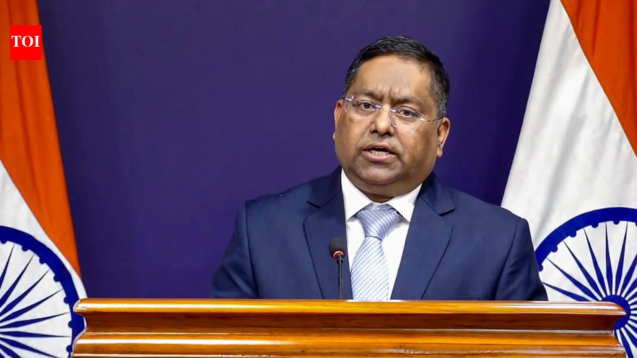
India recently supported a UN resolution for an 'Equal Earth' map to promote accurate landmass proportions. However, New Delhi explicitly warned that any depiction of Jammu and Kashmir and Ladakh must align with India's official maps.
India’s Strategic Stance on the UN ‘Equal Earth’ Map Initiative
Supporting Global Cartographic Equity
India recently signaled its support for a United Nations General Assembly resolution aimed at adopting an 'Equal Earth' projection map. By voting in favor of this initiative, which was spearheaded by a coalition of African nations, India has aligned itself with the broader global movement to correct historical distortions in world maps. The primary goal of this resolution is to rebalance global cartographic representation, ensuring that continental landmasses—particularly Africa—are depicted with greater accuracy regarding their true physical size rather than the traditionally Eurocentric projections that have dominated global discourse for centuries.
The Principle of Equal-Area Representation
Ministry of External Affairs (MEA) spokesperson Randhir Jaiswal clarified that India’s affirmative vote was fundamentally rooted in the principle of promoting 'equal-area cartographic representation.' This technical support reflects India’s commitment to scientific and geographic accuracy in international forums. By advocating for a map that reflects the true scale of the Earth’s regions, New Delhi is participating in a modern effort to modernize global visual data, ensuring that the visual perception of geography is not skewed by outdated colonial-era mapping standards.
Asserting Territorial Sovereignty
Despite its support for the resolution, India issued a firm caveat regarding its own sovereign borders. The MEA explicitly stated that the UN resolution does not constitute an endorsement of any specific map, projection, or depiction of national boundaries. Specifically, India highlighted that the Union Territories of Jammu and Kashmir and Ladakh must be represented strictly in accordance with India’s official maps. This assertion serves as a diplomatic safeguard, ensuring that the technical shift in global map projections is not misused to challenge or misrepresent India’s territorial integrity.
Diplomatic Vigilance at the UN
This dual approach—supporting the spirit of the resolution while maintaining a hard line on sovereignty—demonstrates India’s sophisticated diplomatic strategy. By preemptively addressing the potential for 'inaccurate' or 'misleading' depictions, New Delhi is signaling to the international community that it will not tolerate the use of global initiatives as a vehicle for questioning its administrative control over these regions. This proactive stance is consistent with India's longstanding policy of ensuring that all international entities adhere to its official territorial definitions.
Future Implications for Global Governance
As the UN moves toward implementing this rebalanced mapping framework, the dialogue surrounding the 'Equal Earth' project will likely become a case study in how technical standard-setting can intersect with geopolitical sensitivities. India’s involvement underscores the importance of granular scrutiny in UN-led initiatives. Moving forward, the success of such global projects will depend on balancing the noble aim of equitable geographic representation with the strict requirement to respect the established sovereign boundaries of member states, a challenge that India has now clearly defined for the global body.
Multiple Citing Sources