India standardises names of 28 places in Ladakh
Source Entity
India Latest News: Top National Headlines Today & Breaking News | The Hindu
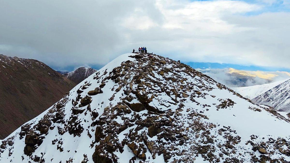
The Indian government has officially standardized the names of 28 geographical features in Ladakh on the Survey of India map. This strategic move aims to assert territorial sovereignty and counter Chinese cartographic claims in the region.
Strengthening Sovereignty: India’s Strategic Cartographic Initiative in Ladakh
In a decisive move to solidify its territorial integrity, the Government of India, in close consultation with the Union Territory of Ladakh, has officially standardized the names of 28 geographical features on the official Survey of India (SoI) map. This initiative, which encompasses a diverse array of 11 peaks, five mountains, six land areas, two glaciers, two passes, one valley, one river, one lake, and an additional water body, serves as a formal declaration of administrative control. By codifying these names—including landmarks such as Alisha Giri, Kanishka Peak, Martand Giri, and Zorawar Peak—India is effectively removing any ambiguity regarding the status of these regions.
The Geopolitical Context of Cartography
This standardization process is not merely an administrative update; it is a calculated response to ongoing border tensions along the Line of Actual Control (LAC). The move is designed to counter what New Delhi perceives as 'cartographic aggression' by China. By formalizing these names, India is asserting its sovereign authority over areas that have been subject to intense scrutiny and territorial disputes. This follows a similar precedent set recently in Arunachal Pradesh, where India standardized place names to affirm its presence in the face of external claims.
Strategic Implications for the Ladakh Frontier
For decades, the Ladakh region has been the focal point of India-China border negotiations, particularly regarding sensitive zones like Gogra and Hot Spring. By placing these specific locations on the official map, the government is ensuring that public perception and international recognition align with India’s administrative reality. This is a critical step in 'information warfare,' where the ability to define geographical nomenclature serves as a potent tool for maintaining historical and legal claims over contested high-altitude terrains.
A Detailed Inventory of the Landscape
The list of standardized features is extensive and geographically significant. Beyond the aforementioned peaks, it includes features such as the Parpik Glacier, Skamri Glacier, Shachmirik Pass, Shkorga Valley, and the Drak Karpo region. The inclusion of names like 'Zorawar Peak'—named after the legendary General Zorawar Singh, who expanded the frontiers of the Dogra kingdom into Ladakh—carries a deep historical resonance, signaling a commitment to maintaining the traditional boundaries of the region.
Future Trends and Diplomatic Posturing
Looking ahead, this standardization process is likely to become a standard component of India's border management strategy. By creating greater public awareness and ensuring that maps reflect the government's official stance, India is positioning itself to be more proactive in diplomatic discourse. As China continues to utilize maps as a tool for expansionist rhetoric, India’s move to standardize its own frontier ensures that its territorial narrative remains consistent, legally robust, and clearly demarcated for both domestic and international observers.
Conclusion
Ultimately, the formalization of these 28 names in Ladakh represents a shift toward more assertive governance in border regions. By leveraging the Survey of India to codify these features, New Delhi is reinforcing its commitment to the security and integrity of the Ladakh Union Territory. This policy not only clarifies the ground reality for the public but also serves as a firm diplomatic signal that India will continue to define its own borders in the face of external pressure.
Multiple Citing Sources
Verification Required?