IMD forecasts heavy rain in north coastal Andhra; Vizianagaram, Srikakulam on alert
Source Entity
India Latest News: Top National Headlines Today & Breaking News | The Hindu
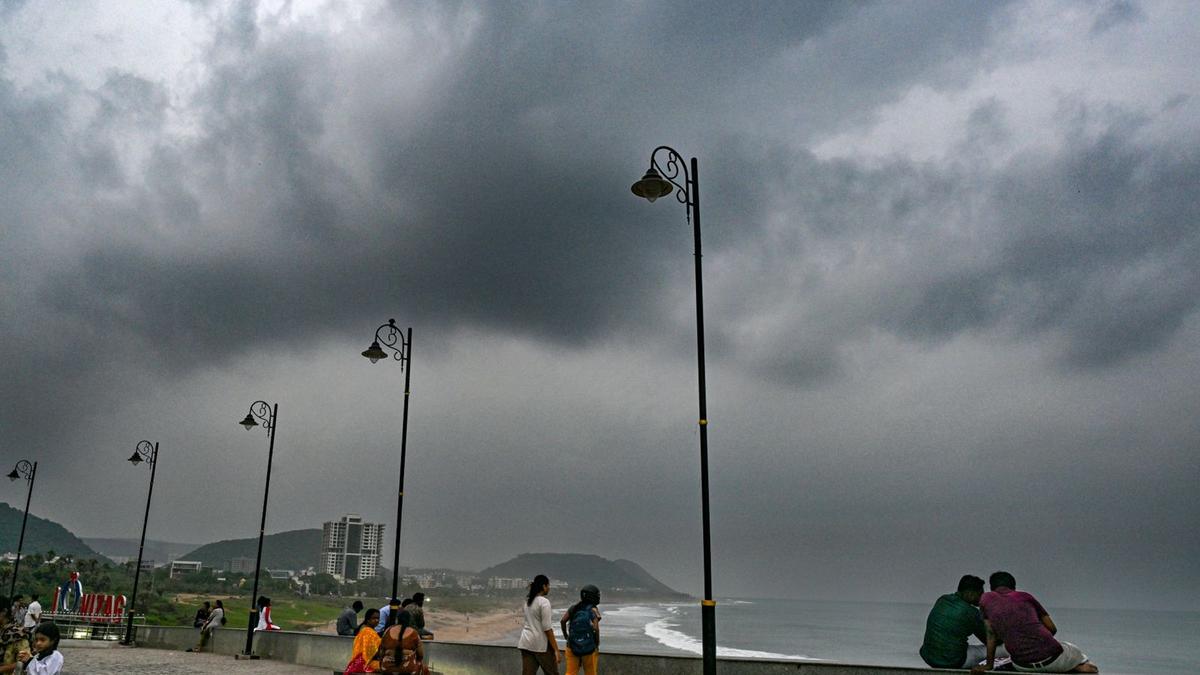
Recent weather patterns across India show a mix of localized showers in Hyderabad and a strengthening monsoon in Kerala. Meanwhile, West Bengal prepares for heavy rains and squally winds due to a developing depression in the Bay of Bengal.
Weather Systems Across India: A Regional Overview
India is currently experiencing a dynamic period of meteorological activity, characterized by localized precipitation in Hyderabad, a monsoon revival in Kerala, and an approaching weather system destined for West Bengal. These developments, verified through data from the Telangana Development Planning Society (TGDPS) and the India Meteorological Department (IMD), highlight the complex nature of the subcontinent's transitionary weather phases.
Hyderabad's Brief Respite
On Sunday, September 20, Hyderabad experienced a shift from cloudy skies to brief, impactful afternoon showers. Data indicates that precipitation was unevenly distributed across the city's periphery. Keesara recorded the highest rainfall at 36.5 mm, followed closely by Kavadiguda at 34.8 mm and Medchal at 28 mm. While these showers provided a temporary cooling effect, the rapid return of sunny skies suggests these were localized convective events rather than a sustained regional monsoon surge.
Monsoon Revival in Kerala
In contrast to Hyderabad's brief showers, Kerala is witnessing a significant resurgence of the southwest monsoon. After nearly two weeks of unseasonably warm, summer-like conditions, the state has seen a return to widespread rainfall. This shift is directly linked to the developing weather system in the Bay of Bengal. Notably, Idukki district has been at the center of this revival, with Udumbannoor reporting 13 cm of rain, and Peerumedu, Angadipuram, and Athirappilly recording 11 cm each, effectively normalizing temperatures across the state.
Approaching Instability in West Bengal
While Kerala recovers, West Bengal is bracing for a more severe weather event. A low-pressure area over the east-central Bay of Bengal and the north Andaman Sea is projected to intensify into a depression by Monday, September 21. The IMD forecasts that this system will bring heavy rainfall and squally winds to West Bengal between September 22 and September 26. The coastal districts are expected to bear the brunt of this intensity, necessitating heightened vigilance.
Broader Meteorological Implications
The synchronicity of these events, particularly the connection between the Bay of Bengal system and the rainfall patterns in both Kerala and West Bengal, underscores the interconnectedness of regional weather systems. The intensification of low-pressure areas into depressions is a critical factor in determining the distribution of rainfall across the Indian coastline. As these systems evolve, they shift the delicate balance of humidity and temperature, often dictating the agricultural and urban planning schedules of the affected regions.
Conclusion and Future Outlook
As of late September, India’s weather narrative is defined by these varying degrees of intensity. While the interior regions like Telangana observe localized relief, the coastal belts face significant atmospheric instability. The coming days will be crucial as the depression in the Bay of Bengal tracks toward West Bengal, potentially altering the regional weather trajectory. Residents in the path of the projected depression are advised to monitor IMD bulletins closely as the system matures.
Multiple Citing Sources
Verification Required?