Madhya Pradesh's Snake Census: 50 Species, 16 Bite Hotspots, Race To Map Deadliest Reptiles
Source Entity
NDTV News Search Records Found 1000
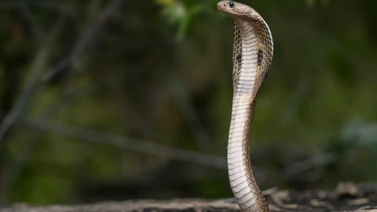
Madhya Pradesh has officially identified 16 high-risk districts prone to snakebites as part of a state-wide mapping initiative. This effort aims to improve emergency response and mitigate human-wildlife conflict in identified hotspots.
Mapping the Crisis: Madhya Pradesh's Snakebite Strategy
The government of Madhya Pradesh has taken a significant step in public health and wildlife management by identifying 16 specific districts as high-risk snakebite hotspots. This initiative represents a shift toward data-driven intervention, moving beyond reactive medical care to a more proactive, preventative framework. By pinpointing exactly where these encounters are most frequent, authorities can better distribute anti-venom supplies and educate vulnerable populations.
The Intersection of Ecology and Public Health
Snakebites remain a neglected tropical disease that disproportionately affects agrarian communities. In a state like Madhya Pradesh, where agriculture is a primary economic driver, the overlap between human activity and reptilian habitats is extensive. The identification of these 16 districts is essential for local health departments to streamline their emergency protocols, ensuring that primary health centers in these regions are adequately stocked and that medical staff are trained in specific anti-venom administration protocols.
Understanding the Geographical Risk
The diversity of snake species in Madhya Pradesh presents a complex challenge for medical responders. With experts noting the presence of numerous species, including highly venomous ones, the mapping project serves as a vital diagnostic tool. Understanding the distribution of these reptiles allows for the creation of site-specific management plans that consider the unique environmental factors of each district, such as irrigation patterns, crop cycles, and vegetation density, which often dictate snake movement.
Implications for Wildlife Conservation
Beyond human safety, this census provides critical data for the conservation of biodiversity. Often, human-snake conflict leads to the indiscriminate killing of non-venomous and beneficial snake species, which play a crucial role in controlling rodent populations that damage crops. By identifying the most dangerous hotspots, the state can foster coexistence through targeted awareness campaigns, helping residents distinguish between harmless and dangerous species, thereby reducing unnecessary retaliatory killings.
Future Trends and Mitigation
Looking forward, the success of this mapping project will likely hinge on the integration of real-time data reporting from rural health clinics. As the state continues to refine its response, we can expect to see enhanced training modules for healthcare workers and the potential deployment of specialized rapid-response units in the identified hotspots. This proactive mapping is a blueprint for other Indian states facing similar challenges, signaling a more modern approach to mitigating one of the oldest risks to rural life.
Verification Required?