Heavy rains likely in Pune Ghats, red alert issued
Source Entity
Dipanita Nath
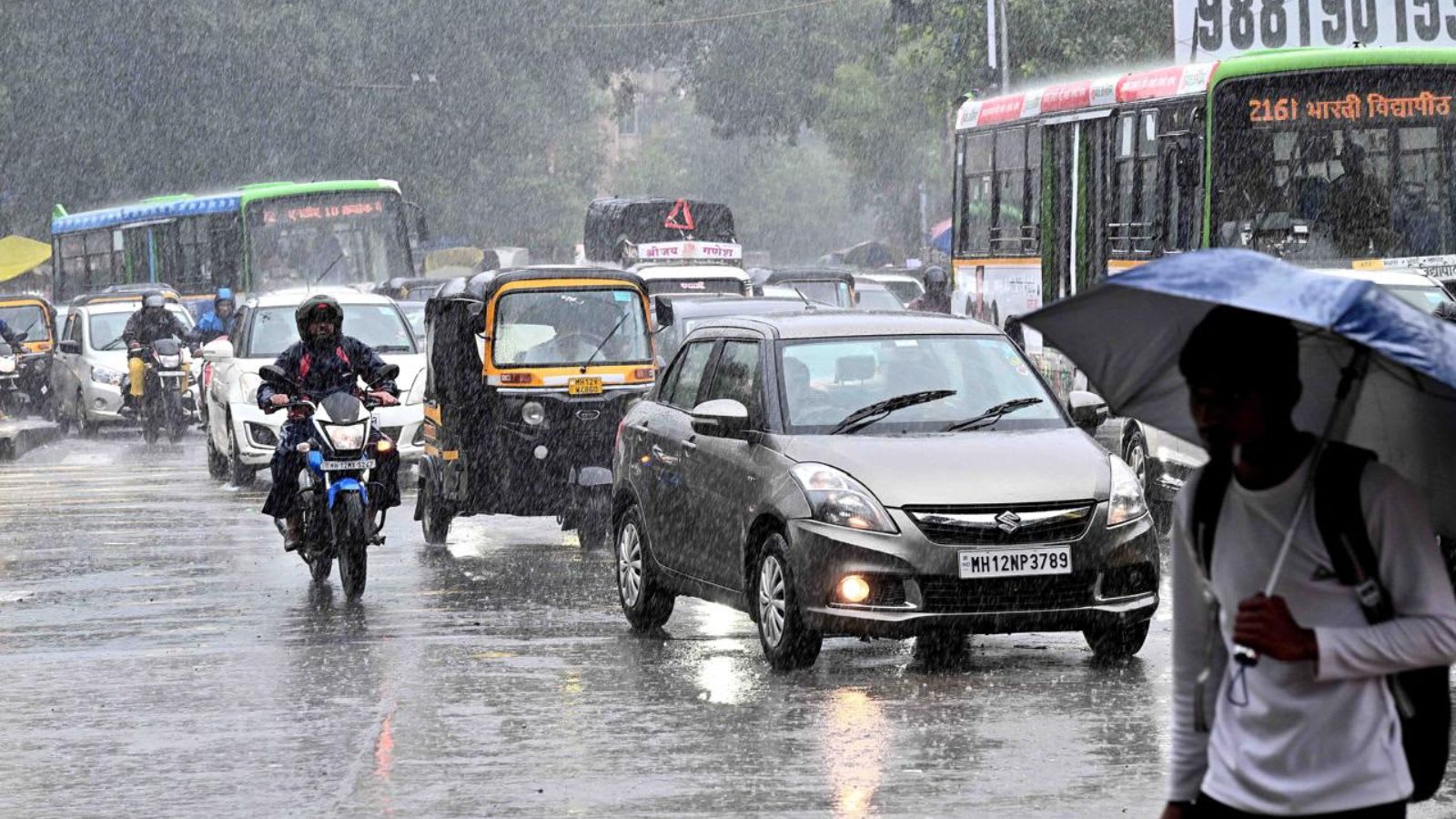
The India Meteorological Department has issued a red alert for Pune's Ghats due to forecasts of extremely heavy rainfall. Significant precipitation has already been recorded across urban and rural pockets, signaling a severe monsoon phase for the region.
Intense Monsoon Activity Grips Pune and Surrounding Ghats
The India Meteorological Department (IMD) has issued a critical red alert for the Ghat regions of Pune, anticipating “heavy to very heavy” rainfall, with some areas bracing for extremely heavy precipitation as of June 22. This meteorological warning underscores the intensification of the monsoon season, which has already begun to manifest in significant rainfall patterns across the district. The weather system is not limited to the Ghats; neighboring regions such as Konkan, Goa, and the Ghat sections of Nashik, Satara, and Kolhapur are also under an orange alert, indicating widespread, heavy rain across the Western Maharashtra belt.
Urban Rainfall Data and Local Impact
The precipitation data from Pune city reflects a steady and accumulating trend. Tuesday saw a rainy start, with observatories like Shivajinagar, Koregaon Park, Pashan, and the NDA recording initial rainfall amounts. By the evening of that same day, the intensity increased, with Chinchwad recording 16 mm and Pashan 14.8 mm within a nine-hour window. This trend continued into Wednesday, where Pashan emerged as the wettest region with 49.8 mm of rainfall, closely followed by Chinchwad at 48.5 mm and Koregaon Park at 25.5 mm. Such figures demonstrate the localized but significant impact of the current weather system on urban infrastructure.
Comparative Analysis of Rainfall Intensity
To put the current rainfall into perspective, the Shivajinagar observatory recorded 37.5 mm of rain by 8:30 am on Wednesday. This measurement is notable as it is nearly double the highest single-day rainfall recorded in July of the previous year (18.7 mm). While meteorologists note that such figures are not entirely unusual over an extended period, the current speed and volume of the downpour necessitate the high-alert status issued by the IMD. The accumulation of water in a short duration is a primary concern for local disaster management authorities.
The Role of the Ghat Regions
The Ghat regions act as a critical barrier that influences the distribution of monsoon rainfall. Tamhini, located approximately 50 km west of Pune, is recognized as one of the wettest places in India and has already recorded a staggering 275 mm of rain. This massive influx of water into the Ghats is a precursor to potential runoff issues and landslides, which are common risks during high-intensity monsoon events in this topography. The red alert for the Ghats specifically targets these vulnerable high-elevation zones where the orographic effect maximizes rainfall.
Broader Implications and Future Outlook
The synchronization of red alerts for the Ghats and yellow alerts for Pune city suggests a weather pattern that requires constant vigilance. As the monsoon progresses, the saturation of soil and the filling of local water bodies will increase the risk of flooding in low-lying areas. The IMD’s ongoing monitoring is vital for the safety of residents, as the transition from steady rain to extreme bursts can happen rapidly. Future trends will depend on the stability of the offshore trough and the strength of the monsoon winds currently feeding moisture into the Western Ghats.
Conclusion
In summary, the Pune region is currently navigating a period of significant meteorological instability. With the IMD maintaining high-level alerts, the focus remains on the extreme rainfall expected in the Ghats and the sustained, heavy downpours within the city. Residents are advised to stay updated with official forecasts as the monsoon continues to test the region’s drainage and infrastructure capacity.