Houston weather forecast for Tuesday: Is HISD closing schools as Tropical Depression Five nears Texas? Latest updates
Source Entity
Latest News: Todays Latest News Headlines from India & World | Hindustan Times | Hindustan Times
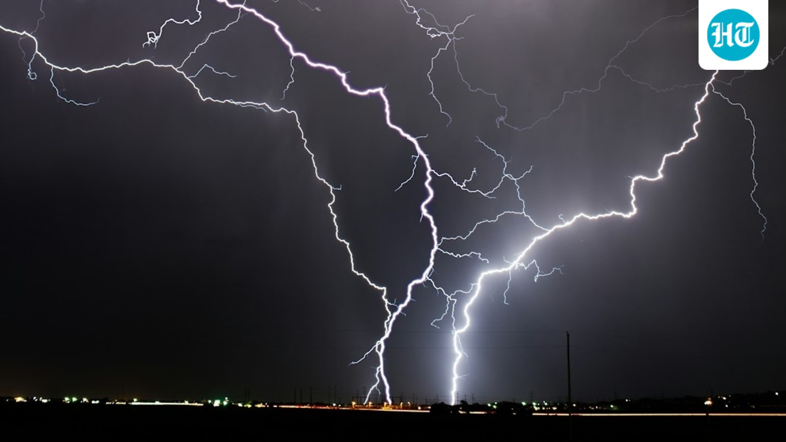
Tropical Depression Five has prompted widespread school closures across Southeast Texas due to impending heavy rainfall and flood risks. The system is expected to make landfall near the Texas-Louisiana coast, potentially strengthening into Tropical Storm Edouard.
Tropical Depression Five: Impact and Preparedness in Southeast Texas
The Meteorological Situation
Tropical Depression Five, which formed in the northern Gulf of Mexico on Monday, has rapidly become a focal point for emergency management officials across Southeast Texas. Identified by an Air Force Reserve reconnaissance flight, the system currently exhibits a weak center of circulation with sustained winds of 35 mph. Moving toward the Texas-Louisiana coastline, the storm is positioned over warm waters with low wind shear, providing the ideal thermodynamic environment for potential intensification into Tropical Storm Edouard before landfall.
Proactive Measures and Education Disruptions
In response to the looming threat of severe weather, numerous school districts throughout Southeast Texas have taken the proactive step of closing campuses, offices, and canceling all school-related activities for Tuesday, September 1. This decision highlights a regional commitment to prioritizing student and staff safety over academic continuity during extreme weather events. While no formal closures have been announced for Wednesday, district officials remain in a state of high alert, continuously monitoring real-time meteorological data to determine if further operational pauses are necessary.
The Threat of Flooding
The primary concern for the Houston area and the surrounding region is not necessarily wind speed, but the significant volume of precipitation expected to accompany the system. As the depression moves inland, it is projected to deliver heavy, sustained rainfall that could lead to flash flooding in low-lying areas. The implementation of a flood watch serves as a critical warning for residents to prepare for potential water accumulation on roadways and potential drainage system overwhelm.
Broader Implications for Coastal Infrastructure
This event underscores the inherent vulnerability of the Gulf Coast to tropical disturbances. The rapid formation of such systems, transitioning from a tropical disturbance to a named depression within hours, necessitates robust communication networks between meteorologists and local administrative bodies. The swift closure of schools serves as a litmus test for the region's emergency preparedness protocols, demonstrating how local governments utilize precautionary measures to mitigate risks to the general public.
Historical Context and Future Trends
Historically, the Texas-Louisiana coastline has been a frequent corridor for tropical systems. The reliance on reconnaissance aircraft to confirm circulation centers remains a cornerstone of modern forecasting, allowing for more precise landfall predictions. As environmental conditions in the Gulf continue to fluctuate, the trend toward early, data-driven school closures is likely to persist as a standard safety practice. Moving forward, the focus will remain on the system's potential evolution into a tropical storm and the subsequent recovery efforts required if heavy rainfall leads to significant infrastructure disruption.
Verification Required?