Temperatures to hit 25C in burst of late September warmth
Source Entity
BBC News
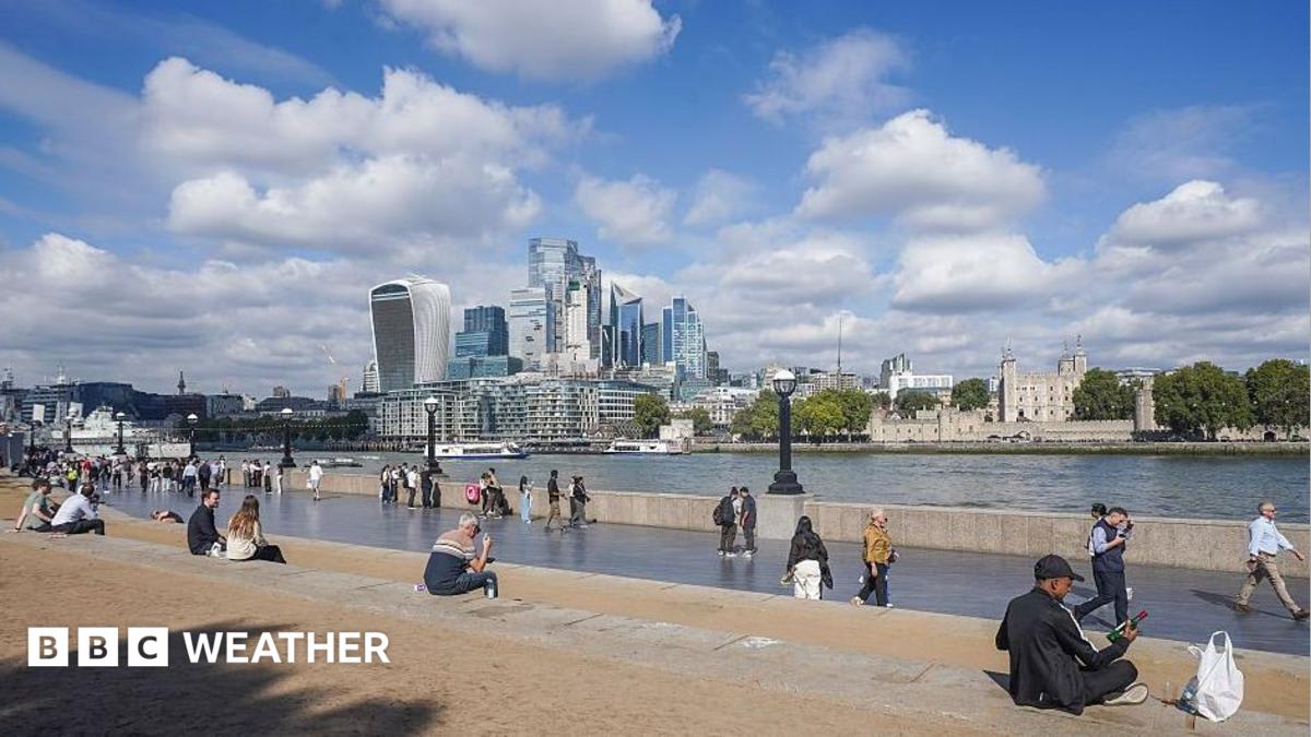
The UK is set for an unseasonably warm spell this week as southerly winds transport hot air from France and Spain. Temperatures in parts of England are expected to reach the mid-20s, significantly exceeding the seasonal average.
A Late September Heat Surge
As the United Kingdom transitions into the final days of September, a meteorological anomaly is set to bring unseasonably warm conditions across the nation. Meteorologists have identified a strong southerly airflow that is effectively acting as a thermal conveyor belt, transporting pockets of significantly warmer air from the continent toward the British Isles. This shift in wind patterns marks a notable departure from the autumnal cooling typically expected at this time of year.
The Continental Connection
The driving force behind this temperature spike is the current climate situation in France and Spain, where regions have been experiencing sustained heat with temperatures frequently exceeding 30C. As this hot air mass moves northward, it interacts with the UK’s atmospheric conditions, leading to a projected rise in mercury levels. While the UK average for late September usually hovers between 16C and 19C, the incoming southerly flow is expected to push these numbers well into the 20s.
Regional Temperature Breakdown
Regional variations will be present, with south-east England projected to see the most significant impact, potentially hitting the mid-20s Celsius. Across the rest of England, temperatures are expected to remain widely above 20C. Meanwhile, Wales, Northern Ireland, and Scotland will also experience warmer-than-average conditions, with peak temperatures ranging from 17C to 22C. This widespread warmth suggests a uniform influence of the southerly air mass across the British Isles.
Weather Patterns and Atmospheric Dynamics
While the prospect of warmth is welcome to many, the transition will not be entirely devoid of typical seasonal volatility. The weather forecast indicates that Tuesday morning may begin with cloud cover and scattered showers, particularly in certain regions. However, as the day progresses, sunny spells are expected to develop across England and Wales, allowing the thermal energy to maximize. In other regions, the progression of cloud cover later in the day may serve to moderate the peak heat.
Broader Implications and Future Trends
This event highlights the increasing frequency of temperature fluctuations that deviate from historical climate norms. While a single warm spell in September does not confirm long-term climate shifts in isolation, it serves as a reminder of how interconnected European weather systems are. The ability of warm air masses from the Iberian Peninsula to reach the UK with such intensity underscores the importance of monitoring continental weather patterns to predict local outcomes more accurately.
Conclusion
In summary, the UK is bracing for a brief but intense period of warmth that will provide a temporary reprieve from the cooling trends of autumn. By reaching mid-20s in the south-east and maintaining above-average figures nationwide, this event stands as a significant meteorological feature of the late September period. Residents are advised to prepare for a very warm night following the peak of the heat, as the atmospheric conditions remain relatively stagnant during this period of transition.