Cyclone Murasu LIVE update: Orange alert in six Telangana districts, yellow alert in five; holiday announced for schools, colleges in T.N., A.P. districts
Source Entity
India Latest News: Top National Headlines Today & Breaking News | The Hindu
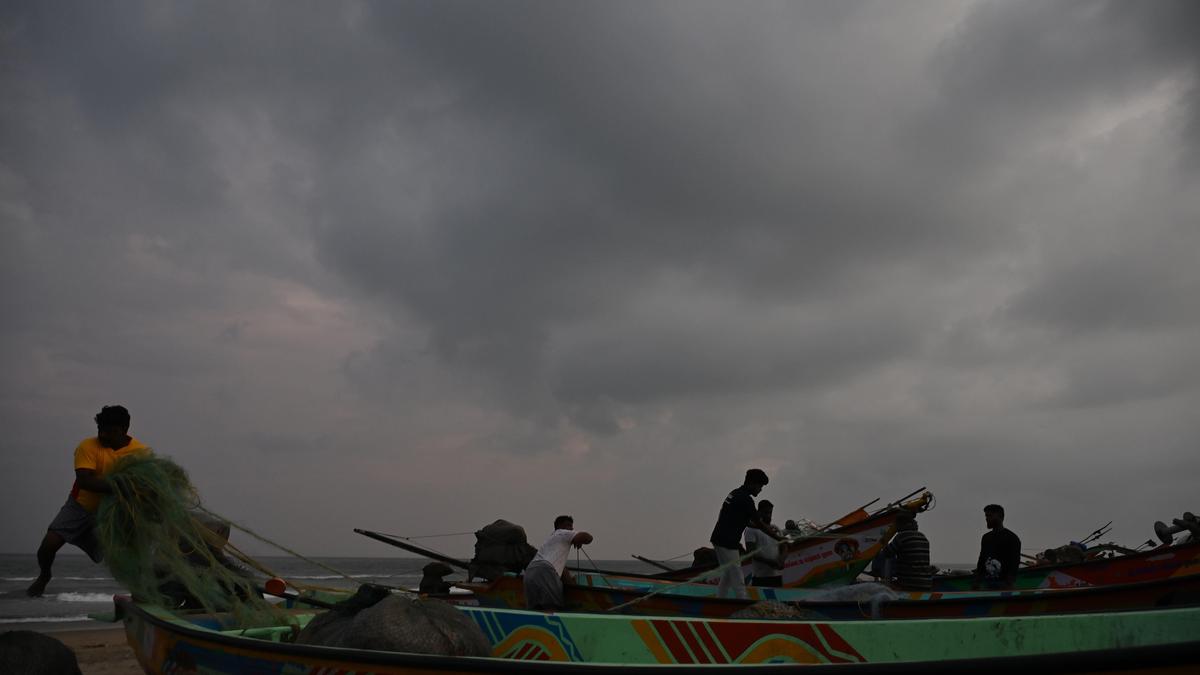
A low-pressure system in the Bay of Bengal is intensifying into a potential cyclonic storm, expected to bring heavy rain to coastal Andhra Pradesh and parts of Southern India. While coastal areas brace for impact, the system is projected to weaken significantly before reaching inland states like Telangana.
Meteorological Shift: New Cyclone Threat in the Bay of Bengal
The India Meteorological Department (IMD) has issued alerts regarding a developing weather system over the South Andaman Sea. Currently manifesting as a low-pressure area, the system is projected to undergo rapid intensification into a depression and subsequently a cyclonic storm by November 1, 2026. This development follows a period of relative calm, marking a significant shift in the post-monsoon weather patterns across the Bay of Bengal.
Trajectory and Intensity Projections
As the system gathers strength over the southeast Bay of Bengal, weather models suggest a west-northwestward path. Meteorologists anticipate the storm will reach the west-central Bay of Bengal near the Andhra Pradesh coast by the evening of November 2. This trajectory places coastal regions in the direct path of potential heavy rainfall and squally weather, necessitating heightened vigilance from local disaster management authorities.
Impact on Kerala and Coastal Andhra Pradesh
Despite the system’s primary focus on the east coast, the influence of this weather disturbance is expected to be widespread. Kerala, which has experienced a brief hiatus in rainfall, is forecasted to see a resumption of precipitation starting November 1. Concurrently, coastal Andhra Pradesh remains the primary focal point for the system's landfall, with heavy showers anticipated as the cyclonic storm approaches the coastline on the morning of November 3.
Inland Weakening and Regional Variations
While the prospect of a cyclonic storm naturally triggers concerns for inland regions, experts provide a nuanced outlook for states like Telangana. S. Stella, Head of the IMD Centre in Hyderabad, has clarified that although the system will be potent over the sea, it is expected to lose significant intensity as it moves inland. By the time the system reaches Telangana, it will likely have weakened into a deep depression, substantially mitigating the risk of severe cyclonic damage for the state.
Broader Implications and Future Trends
The recurrence of cyclonic activity in the Bay of Bengal during this period highlights the volatile nature of the post-monsoon season. These systems often serve as critical moisture carriers, influencing agricultural cycles and water resource management across the Southern Peninsula. As climate patterns continue to evolve, the ability of the IMD to track and forecast these rapid intensifications remains the primary line of defense in protecting coastal populations from extreme weather events.
Conclusion
In summary, while the developing depression in the Bay of Bengal poses a clear threat of heavy rainfall and cyclonic conditions for coastal Andhra Pradesh and parts of Southern India, the overall impact remains geographically varied. Authorities continue to monitor the system's movement closely as it transitions from a deep sea disturbance to a landfall event, ensuring that early warnings are disseminated to minimize potential disruptions to life and infrastructure.
Multiple Citing Sources
Verification Required?