How El Niño fuelled Cyclone Arnab’s rapid intensification
Source Entity
Anjali Marar
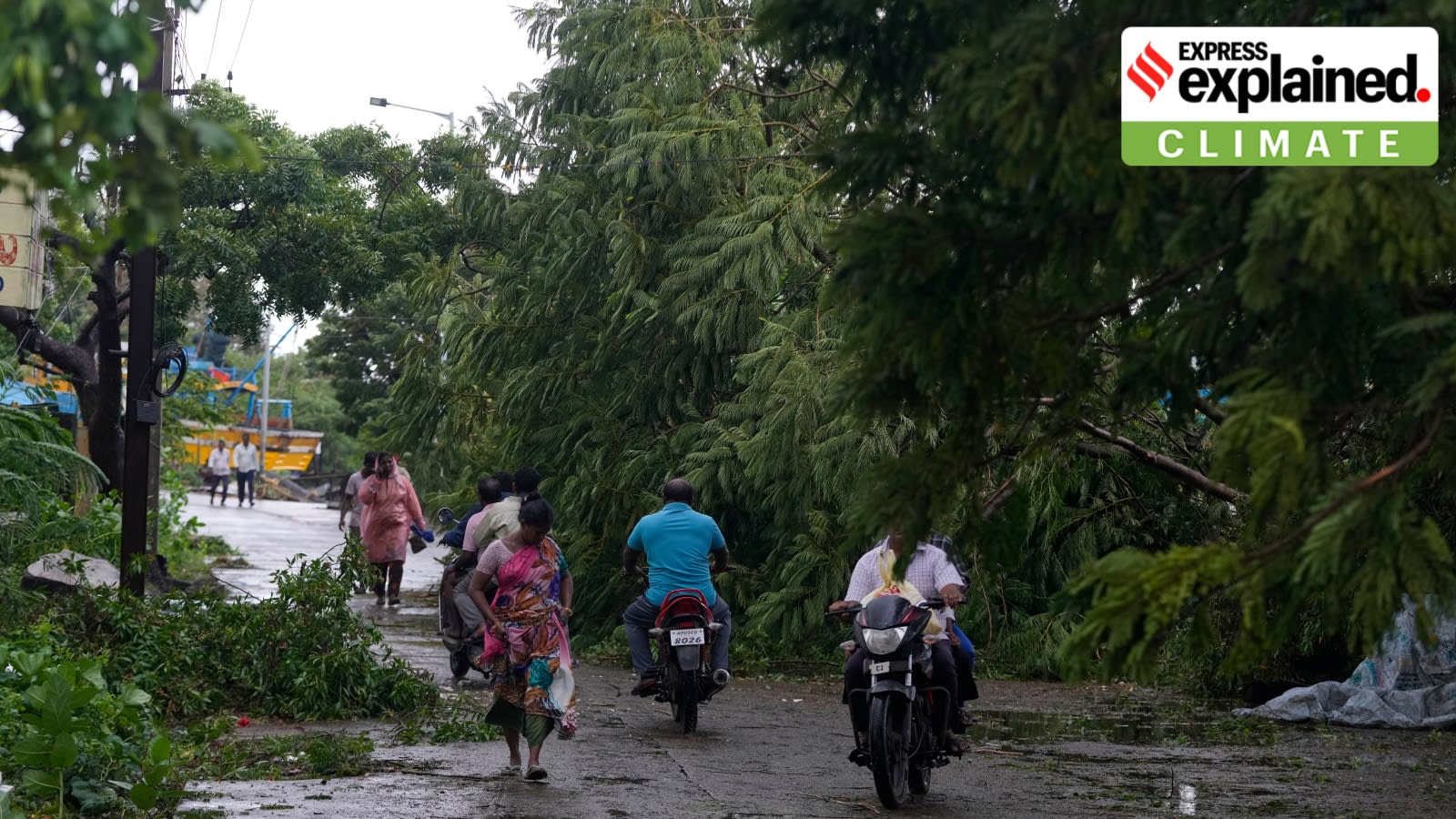
Cyclone Arnab has made landfall in Andhra Pradesh, bringing destructive winds and heavy rainfall to coastal districts. The IMD had previously tracked the system's intensification from a low-pressure area to a severe cyclonic storm.
The Progression of Cyclone Arnab: A Meteorological Overview
The Bay of Bengal has once again demonstrated its susceptibility to severe weather systems as Cyclone Arnab made landfall on the Andhra Pradesh coast. The path to this event began with a low-pressure area forming over the east-central and southeastern regions of the Bay of Bengal. As monitored by the India Meteorological Department (IMD), this system underwent a rapid and predictable intensification process, transitioning from a depression on October 24 to a deep depression by October 25, ultimately maturing into a cyclonic storm.
Anticipatory Measures and Early Warnings
In the days leading up to the landfall, the IMD provided consistent updates, projecting the system’s movement toward the North Andhra Pradesh and South Odisha coasts. Meteorological experts had issued red warnings for extremely heavy rainfall between October 27 and 29. These warnings were critical in alerting local authorities and the public, with specific instructions issued to fishermen to return to shore as conditions were expected to deteriorate significantly.
The Intensity and Impact of Landfall
As the storm approached, K. Naga Ratna, Head of the Amaravati Meteorological Centre, highlighted the potential for the system to reach the status of a severe—or potentially very severe—cyclonic storm. The reality mirrored these projections, with wind speeds reaching 125-135 kmph upon impact. The landfall, occurring between Kakinada and Yanam, brought destructive force to districts including Konaseema and West Godavari, resulting in widespread infrastructure damage, including uprooted trees and disrupted power grids.
Regional Consequences and Disaster Management
The Andhra Pradesh State Disaster Management Authority, led by Prakhar Jain, coordinated the response as the "eye" of the cyclone neared the coast. The heavy rainfall and high-velocity winds have significantly disrupted normal life, necessitating immediate emergency interventions. The storm surge, estimated between 1 to 2 meters in some models, posed an additional threat to low-lying coastal areas, compounding the impact of the torrential rains.
Broader Implications and Future Trends
This event underscores the increasing volatility of weather patterns in the Bay of Bengal, a region historically prone to cyclonic activity during the post-monsoon season. The ability of the IMD to track and categorize the storm's intensification—from a simple depression to a severe cyclone—highlights the vital role of modern meteorological technology in disaster mitigation. Moving forward, the focus remains on recovery, restoring essential services, and assessing the long-term impact on the agricultural and infrastructural stability of the affected coastal districts.
Multiple Citing Sources