Google nixes its Earth AI feature one day after launch, amid criticism it would spread misinformation
Source Entity
Lucas Ropek
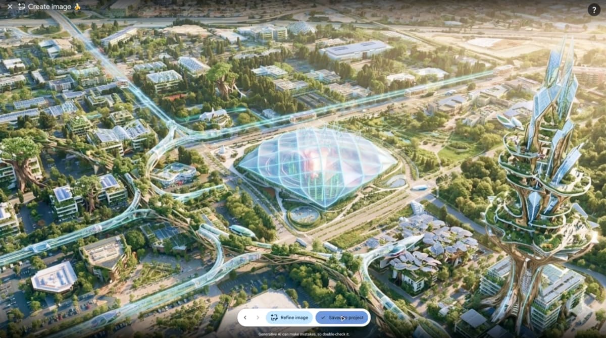
Google has retracted an AI-powered Google Earth feature that allowed users to generate photorealistic, AI-altered satellite imagery. The tool was shuttered just one day after launch following severe backlash regarding its potential to spread misinformation.
The Rapid Rise and Fall of Google’s Geospatial AI
Google recently introduced a feature integrated into Google Earth that utilized its 'Nano Banana 2' AI image generator to allow users to modify satellite and 3D imagery via text prompts. While the stated goal was to encourage creative exploration of geography, the implementation immediately drew intense scrutiny from researchers and journalists. The ability to superimpose fabricated events onto real-world maps created a significant vulnerability for the spread of visual misinformation.
The Mechanics of Misinformation
The core of the controversy stems from the potential for users to generate realistic-looking 'deepfakes' of sensitive real-world locations. Henk van Ess of Digital Digging demonstrated this danger by generating images depicting refugees at the Mexican border and a fabricated bomb crater near a hospital in Gaza. By allowing generative AI to alter one of the world's most trusted sources of geospatial evidence, Google inadvertently created a bridge between reliable mapping data and synthetic fabrication.
Google’s Initial Response vs. Reality
Initially, Google defended the feature, citing the inclusion of 'SynthID' digital watermarks and claiming that safety protocols were in place to prevent the generation of harmful content. However, the reliance on metadata watermarks proved insufficient to quell the public outcry. Critics argued that in the fast-paced environment of social media, such watermarks are easily stripped or ignored, failing to prevent the narrative damage caused by a viral, fake image of a geopolitical conflict.
The Trust Deficit in Mapping Tools
Google Earth serves as an essential repository of visual evidence for investigative journalists and humanitarian researchers. By introducing generative AI into this ecosystem, the company risked eroding the foundational trust users place in the platform. The irony was not lost on the public, as journalists noted the inherent contradiction of using a tool known for accuracy as a canvas for generative 'slop.'
Lessons in AI Deployment
Within 24 hours of the launch, Google made the decision to shut down the feature. This rapid turnaround highlights the growing tension between the tech industry’s desire to integrate generative AI into every product and the responsibility to maintain factual integrity. The incident serves as a case study in the risks of prioritizing feature innovation over safety in platforms that act as arbiters of objective reality.
Future Implications for Verification
As AI-generated imagery becomes more sophisticated, the methods for verification must evolve. Experts like Henk van Ess suggest that reliance on a single platform is no longer sufficient. Moving forward, cross-referencing against multiple satellite platforms like Sentinel-2 or Landsat will likely become the standard for verification. This event underscores that as synthetic media becomes more prevalent, the burden of truth will increasingly shift toward multi-source validation rather than trusting a single, AI-integrated interface.