Very heavy rain likely in Banda-Prayagraj belt; Lucknow enters normal rainfall range
Source Entity
Latest News: Todays Latest News Headlines from India & World | Hindustan Times | Hindustan Times
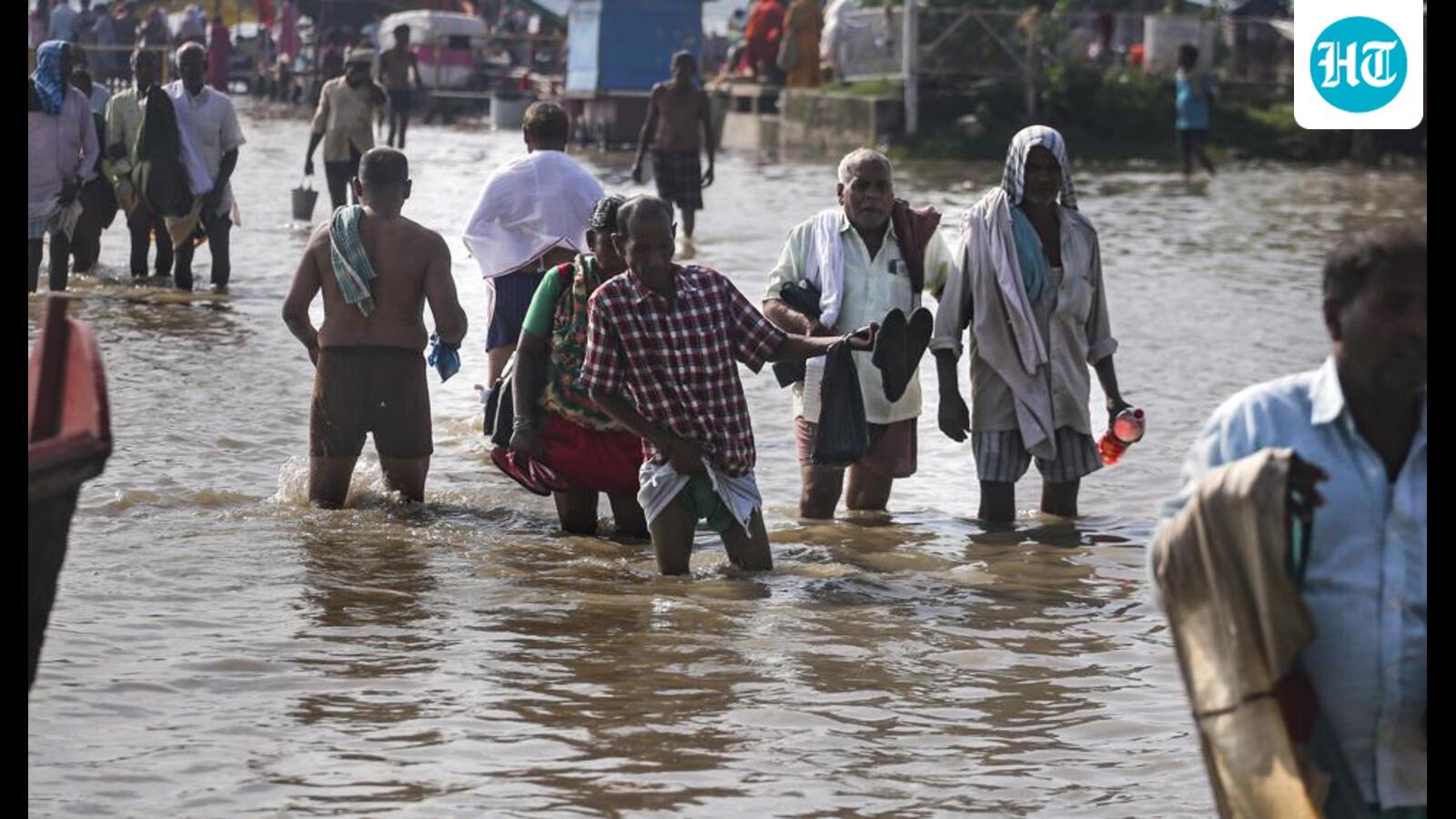
The IMD has issued orange and yellow alerts for several districts in southern Uttar Pradesh due to a well-marked low-pressure system. Heavy to very heavy rainfall is expected across the Banda-Prayagraj belt through August 22, causing concerns over rising water levels in the Ganges.
Heavy Rainfall Forecast Across Southern Uttar Pradesh
The India Meteorological Department (IMD) has issued a significant weather warning for Uttar Pradesh, signaling a period of intense monsoon activity that is expected to persist until August 22. A well-marked low-pressure area currently positioned near southeastern Uttar Pradesh is driving this surge in precipitation. This meteorological system is projected to track west-northwestwards, impacting regions across Jharkhand, northern Chhattisgarh, and the southern districts of Uttar Pradesh.
Impact on the Banda-Prayagraj Belt
The immediate concern remains the Banda-Prayagraj belt, where the convergence of moisture and the low-pressure system is likely to produce heavy to very heavy rainfall. Residents in these areas are already witnessing the consequences of these weather patterns, as evidenced by reports of waterlogged streets and the rising water levels of the Ganges River in Prayagraj. The combination of sustained rain and the existing saturation of the ground poses a heightened risk of urban flooding and the potential for overflow in low-lying riparian zones.
Meteorological Alerts and Preparedness
To mitigate risks, the weather department has deployed a tiered alert system, with orange alerts active for 11 critical districts, including Banda, Chitrakoot, Kaushambi, Prayagraj, and Fatehpur. These alerts serve as a formal directive for local authorities to heighten disaster response readiness. While regions like Lucknow have recently transitioned into the 'normal' rainfall range, the ongoing activity in the southern periphery suggests that the state’s overall monsoon deficit or surplus figures could fluctuate significantly before the month concludes.
Broader Regional Implications
The movement of this weather system underscores the complex dynamics of the Indian Monsoon, where low-pressure cells act as primary drivers for moisture distribution. By tracking across Jharkhand and northern Chhattisgarh, the system maintains a wide geographic footprint that necessitates inter-state coordination in disaster management. As the system continues its west-northwestward trajectory, monitoring for potential flash floods in hilly or poorly drained terrains will be critical for regional safety.
Future Trends and Climate Context
Looking ahead, the volatility of these monsoon systems highlights the increasing need for robust infrastructure capable of handling extreme precipitation events. As the atmosphere warms, the capacity for moisture retention increases, often leading to more intense, short-duration rainfall events. For the state of Uttar Pradesh, managing the current rainfall surge while preparing for the tail end of the monsoon season remains a primary focus for civil administration and weather services alike.
Verification Required?