To counter China, India formally puts Gogra, Hot Spring & others on map
Source Entity
TNN
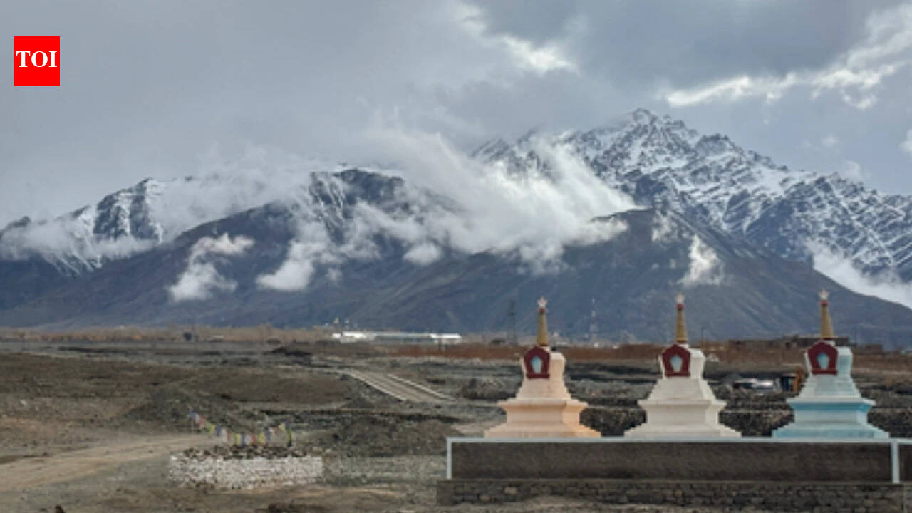
The Government of India has officially standardized the names of 28 geographical features in Ladakh on Survey of India maps. This strategic move aims to assert sovereignty and eliminate ambiguity in border regions amid ongoing tensions with China.
Strategic Cartography: India Standardizes Ladakh Place Names
In a significant move to solidify its territorial claims and eliminate ambiguity, the Government of India, in consultation with the Union Territory administration of Ladakh, has formally standardized the names of 28 geographical features on official Survey of India (SoI) maps. This initiative covers a diverse range of features, including 11 peaks, five mountains, six land areas, two glaciers, two passes, one valley, one river, one lake, and one other water body, effectively integrating these locations into the official national record.
Strengthening Sovereignty Through Documentation
This formal identification is explicitly intended to remove any misplaced perceptions regarding the status of these regions. By placing areas such as Gogra, Hot Spring, and various passes and glaciers—including the Parpik and Skamri glaciers—under standardized nomenclature, India is proactively asserting its administrative control. This step is designed to ensure accurate recognition of these areas as integral parts of India, thereby countering any external attempts to obfuscate the status of these strategic border regions.
Addressing Regional Geopolitical Friction
The standardization effort comes on the heels of similar actions taken by India in Arunachal Pradesh. This pattern suggests a calculated strategy to respond to what has been termed "cartographic aggression" by China. By utilizing the official Survey of India framework, New Delhi is standardizing its geographic lexicon, ensuring that the terminology used on official maps aligns with national interests and historical sovereignty, leaving little room for diplomatic or territorial ambiguity.
Scope of the Geographic Reclassification
The list of standardized features is extensive and geographically diverse. It includes significant landmarks such as Alisha Giri, Kanishka Peak, Martand Giri, Zorawar Peak, and Shachmirik Pass. By cataloging features like the Shkorga Valley, Dehra Compass, and Drak Karpo, the government is creating a comprehensive reference point for civil, military, and administrative use. This ensures that the public and international observers have a clear, official understanding of the topography of Ladakh as defined by the Indian state.
Broader Implications and Future Trends
The move serves as a dual-purpose instrument: it bolsters domestic awareness of the region's geography and acts as a firm diplomatic signal to regional rivals. As India continues to develop infrastructure and increase its presence in Ladakh, standardized mapping will become increasingly critical for logistics, border management, and administrative efficiency. This trend of formalizing geographic identities is likely to continue as India seeks to consolidate its hold over sensitive border zones against persistent external pressures.
Conclusion
In summary, the standardization of these 28 locations in Ladakh is a definitive assertion of territorial integrity. By codifying these names on official maps, India is not only clarifying its own administrative boundaries but also establishing a formal record that resists outside claims. This move represents a shift toward more assertive governance in border policy, ensuring that the physical reality on the ground is matched by the legal and cartographic reality of the nation.
Multiple Citing Sources