Low pressure likely over Andaman Sea around November 13
Source Entity
India Latest News: Top National Headlines Today & Breaking News | The Hindu
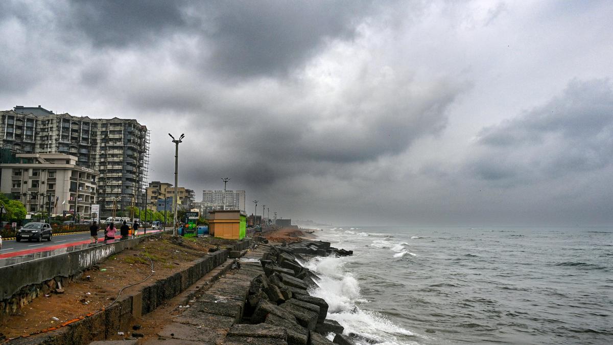
The IMD has forecast a low-pressure area forming over the Southeast Bay of Bengal around November 13. This system is expected to cause squally weather and rough seas, prompting warnings for fishermen to avoid the region.
Meteorological Alert: Developing Low-Pressure System in the Bay of Bengal
Forecasted Formation and Trajectory
The India Meteorological Department (IMD), Amaravati, has issued a significant weather outlook indicating the formation of a low-pressure area over the Southeast Bay of Bengal around November 13, 2026. According to meteorological projections, this system is expected to intensify, evolving into a well-marked low-pressure area by November 14 as it tracks in a northwestward direction. This development is part of the characteristic atmospheric volatility often observed in the Bay of Bengal during the post-monsoon transition period.
Impact and Maritime Hazards
As the system develops, it is anticipated to generate squally weather conditions, with wind speeds projected to gust up to 60 kmph. These conditions are expected to manifest primarily over the Andaman Sea and the Southeast Bay of Bengal on November 14 and 15. The resulting sea state is categorized as rough to very rough, posing a significant risk to maritime activities. Consequently, authorities have issued a stern advisory for the fishing community to avoid venturing into these specific regions during the peak of the system's intensity.
Monitoring and Regional Implications
While the IMD is actively tracking the system’s trajectory, the current bulletin issued on November 11 does not indicate any immediate weather warnings for the Andhra Pradesh coastline. The meteorological department is maintaining a vigilant watch to determine if the system will maintain its northwestward path toward the Andhra Pradesh coast or pivot elsewhere. This monitoring is critical for local disaster management preparedness, as the evolution of low-pressure systems in this basin can be rapid and unpredictable.
Broader Context of Cyclonic Activity
The Bay of Bengal is historically prone to cyclonic activity during the final months of the calendar year, driven by the retreat of the southwest monsoon and the onset of the northeast monsoon. Systems that form in this region often carry high moisture content, and their intensity is heavily dependent on sea surface temperatures. The current forecast serves as a standard precautionary measure to ensure the safety of maritime assets and coastal populations.
Conclusion and Future Outlook
As the situation unfolds, the IMD continues to provide updates based on real-time satellite imagery and buoy data. While there is no immediate threat to land-based regions at this stage, the advisory for fishermen remains the primary concern. Stakeholders in the region are encouraged to monitor subsequent IMD bulletins, as the intensification of the low-pressure area into a well-marked system will dictate the severity of weather impacts in the coming days.
Verification Required?