Thunder + fiber-optic cabling used for seismic imaging
Source Entity
John Timmer
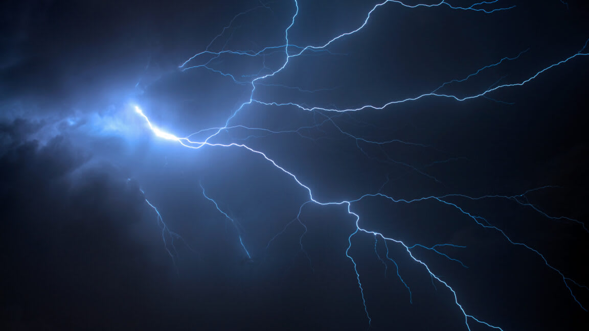
Researchers at Penn State have discovered that seismic waves generated by thunderstorms can be harnessed for sub-surface imaging. By utilizing fiber-optic cabling, this method offers a passive, environmentally friendly alternative to traditional seismic survey techniques.
Harnessing Atmospheric Energy for Sub-Surface Imaging
Recent research conducted by scientists at Penn State has unveiled a novel methodology for mapping the Earth’s interior by utilizing the seismic energy generated by thunderstorms. Traditionally, our understanding of sub-surface geology relies heavily on the analysis of seismic waves, which propagate through the Earth's crust at varying velocities. These velocities are dictated by the physical properties of the materials encountered, such as rock density, moisture content, and the presence of fractures or semi-molten zones. By synthesizing data from multiple seismic events, geophysicists can construct detailed tomographic models of the subsurface landscape.
The Limitations of Traditional Seismic Methods
Historically, the acquisition of seismic data has been bifurcated into two primary approaches: the observation of naturally occurring tectonic earthquakes and the use of active, man-made seismic sources. While earthquakes provide immense energy, they are unpredictable and geographically inconsistent. Conversely, active seismic imaging—often involving heavy machinery or controlled explosives—allows for precise data collection in targeted areas but is both costly and environmentally disruptive. The emergence of thunderstorm-induced seismic waves offers a third, passive alternative that occupies a significant gap between these two methodologies.
Thunderstorms as Seismic Sources
Thunderstorms generate seismic waves when intense acoustic energy from thunder couples with the ground. While the energy footprint of a single thunderclap is significantly smaller than that of a tectonic earthquake, the sheer frequency and distribution of storm systems provide a continuous, ambient source of seismic data. By leveraging existing fiber-optic infrastructure—which can act as a dense, high-resolution sensor array—researchers can effectively 'listen' to these atmospheric-induced tremors to map the shallow sub-surface with unprecedented detail.
The Role of Fiber-Optic Technology
The integration of Distributed Acoustic Sensing (DAS) via fiber-optic cabling is a critical component of this innovation. Fiber-optic cables, often already laid for telecommunications, can be repurposed as thousands of individual seismic sensors. This allows scientists to capture high-fidelity data across vast distances without the need for installing thousands of individual, expensive geophones. This marriage of existing infrastructure and atmospheric monitoring transforms the ground beneath our feet into a giant laboratory.
Future Implications and Environmental Impact
This method represents a paradigm shift in how we approach geotechnical and geophysical surveying. By utilizing the ambient energy of the weather, industries could potentially reduce the reliance on destructive, active-source seismic testing, which is often associated with habitat disruption and high carbon footprints. As this technology matures, it may become an essential tool for monitoring groundwater levels, identifying natural resource deposits, or assessing the stability of infrastructure, all while utilizing the very storms that pass overhead.
Conclusion
The discovery that thunderstorm-generated seismic waves can be harnessed through fiber-optic networks marks a significant advancement in geophysics. By bridging the gap between passive natural events and active man-made sources, this research provides a scalable, sustainable, and highly efficient means of exploring the Earth's interior. As we continue to refine our ability to process these signals, the potential for non-invasive sub-surface imaging will likely become a cornerstone of future geological research and commercial monitoring applications.